After a rainy night in Lower Crabtree Meadow, I packed up my soggy tent in the darkness before dawn and headed south on the Pacific Crest Trail, then turned east on the Rock Creek Trail until I arrived at Soldier Lake, where I dried out my gear and set up camp.
Everything was soggy when I woke up at 3am. This was an hour earlier than I wanted, but I was wide awake, so I figured that I might as well get up. Leaving early makes sense in the High Sierra when thunderstorms are in the forecast. That way you can hike fast and, with luck, set up camp before late afternoon, when the skies typically open up. Then you get to watch the late-risers drag their soggy, miserable butts into camp from the comfort of your nice dry tent. The downside is that you have to carry a rain or dew-soaked tent all day, then (hopefully) dry it in the afternoon before setting it up. The lateniks hang around camp in the morning until the sun is high, and dry everything first. To each their own, I suppose.
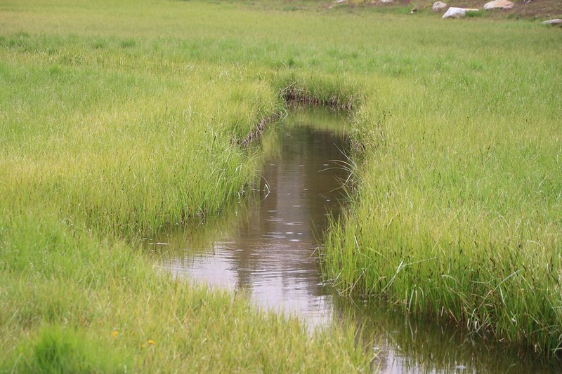
It was just getting light by the time I was all packed up. Crabtree Meadow was sparkling with water drops, and a gentle mist floated here and there in the distance, as if there were steam rising through the forest. Very pretty. I put on my backpack and started hiking, stretching out my legs. After yesterday’s time-consuming cross-country hike, today’s hike on a well-trodden trail should go by like a dream.

I left the meadow behind, and began the climb toward Guyot Pass. The clouds began lighting up with dawn colors, and I could see far into the distance to the west, deep into Sequoia Park. Once again, this many clouds in the morning made me expect more rain later on that day. But anything could happen, and I was prepared, regardless.
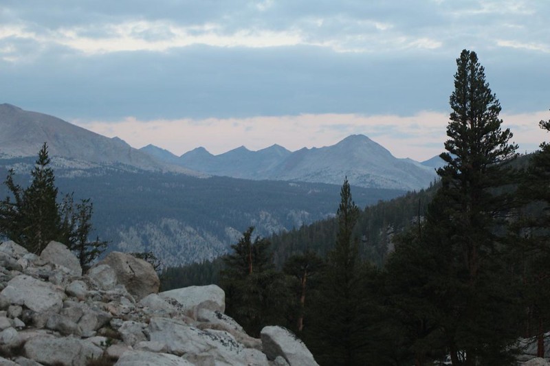
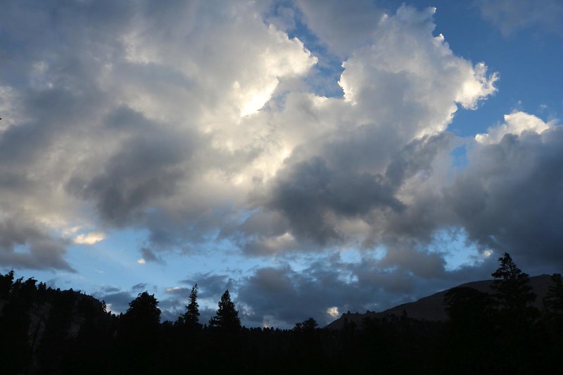
I was the only one hiking at that hour, and it was very peaceful. It didn’t take long before I made the final, easy climb to Guyot Pass. It started to rain, sprinkling lightly, and even hailed a tiny bit while I was up there. Just after dawn! This was unprecedented. I put on my pack cover and hung out under a pine tree for a few minutes. I didn’t bother with a poncho, as I could tell that it wouldn’t last very long. Taking a break at the pass was always a good idea, and it wasn’t really raining all that much.


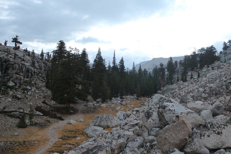
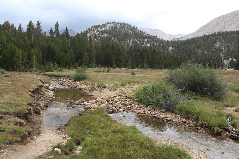
After that, it was time for the day’s big descent, down into the Rock Creek drainage. I crossed Guyot Creek under cloudy skies, and the rain seemed to be holding off. I continued down the steep switchbacks to the creek. When Vicki and I were here last year, we had to climb UP this grade, so we left before dawn while it was still cool. I had none of that problem today. The downhill trail was fast and easy, and soon enough I was at the creek. It was flowing higher than expected, thanks to all that rain the night before, and I had to get out my hiking stick to keep my balance and avoid getting my boots wet while crossing.
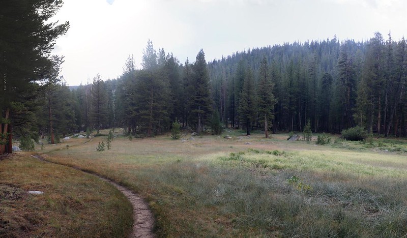
There was a big campsite full of people on the south side of the creek, and they were all still getting packed for the day. Typical late-risers, I thought, feeling smug. I waved hello, but didn’t stop to talk as they seemed too busy. Besides, these folks didn’t look to be in the mood to deal with happy, perky morning people like me! So I hiked onward, up along the creek, enjoying the many meadows along the way.


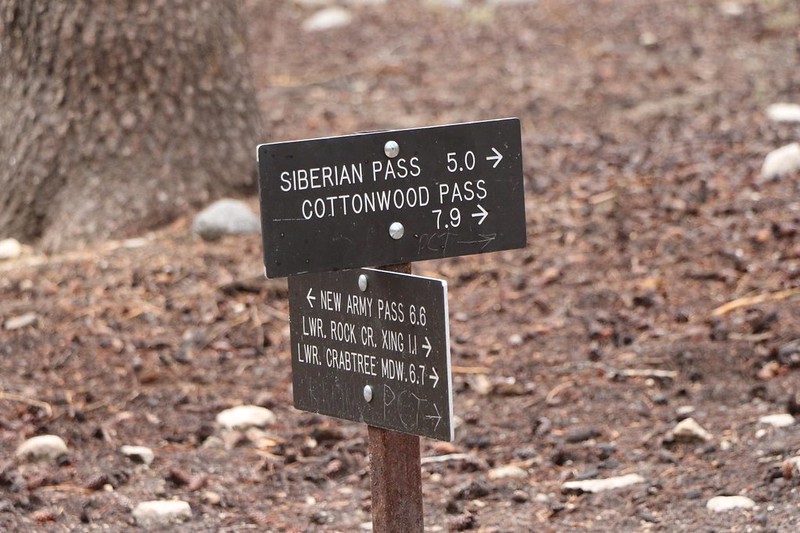
The Pacific Crest Trail eventually met up with the Rock Creek Trail, which I had never taken before. It led directly to Soldier Lake, where I planned to camp. I would be in the same place I camped two nights ago, as this hike was what you might call a “Lollipop Loop.” Today would complete the loop begun yesterday, and tomorrow I would be retracing my first day’s steps, back to the car.
I headed up the trail, following the creek. There were many more meadows along the way, and it was quite a mellow grade. Easy hiking. I crossed the creek at a muddy zone that showed the washed-out signs of last night’s rainstorm. It was tricky, but I found a dry crossing on a log just downstream.


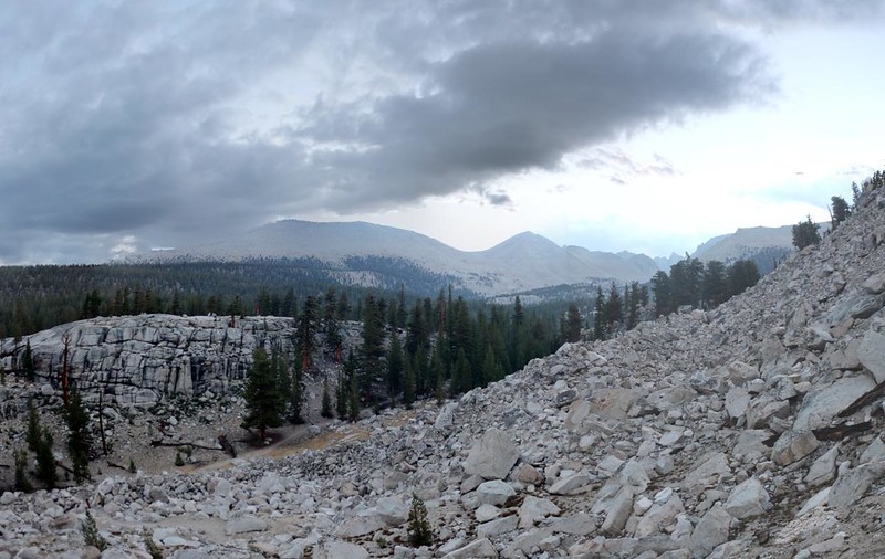
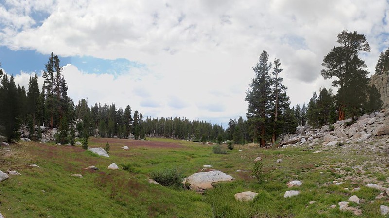
I continued eastward, climbing steadily, and passed through a few more meadows. A drifting cloud brought another light shower, but I didn’t really care as I was warm from hiking, and there was plenty of blue sky all around me. I knew it wouldn’t last.
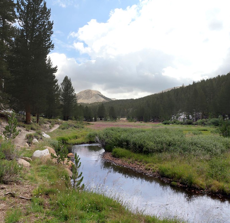
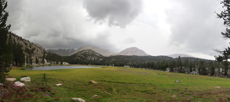
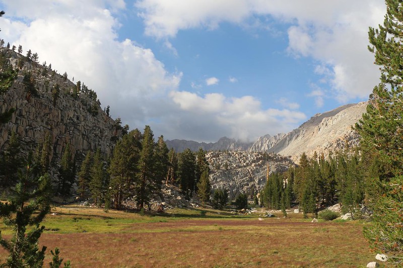
Of course, just to be ornery, the blue sky blew away, replaced by stormy-looking clouds. This was not normal for the Sierra, at all. But what could I do? My best hope was to hurry on, and pray that I made it into camp before the deluge. The uppermost meadow was large, and on one side it had a small lake, called (not very imaginatively) Rock Creek Lake. The wind picked up as a stormy cloud scudded past, and small waves built up on the surface of the water.
GoPro panorama video of the wind and waves on Rock Creek Lake

After the lake, the trail crossed the creek once more, then headed steeply uphill, following a smaller creek. This was the outlet to the Soldier Lakes. This final climb had me sweating a bit, but that was OK. It felt good, and I knew that I was almost at my destination, and it was just about noon! I had made some pretty good time, hiking over ten miles in six hours. Not bad!
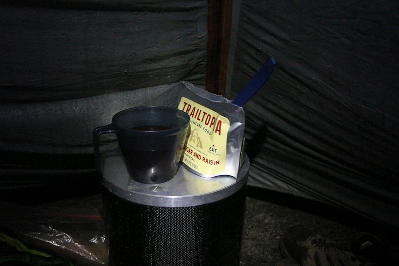
I chose a campsite that was below Soldier Lake this time. My son and I had stayed in that spot back in 2015 when we climbed Mount Langley. I opened my pack and got out my soggy tent. This thing needed to get dry in the worst way. Just as I got the poles clipped on, the sun came out! Glorious! And it couldn’t have been better timed. I spread out the rainproof tarp over a big boulder and let the sun’s heat work its magic. After wiping off some of the bigger drops with my tiny microfiber towel, the nylon was dry as a bone in just a few minutes. This was excellent. I set up the happy tent on a spot that looked like it would drain (in case of rain later) and put my gear inside.
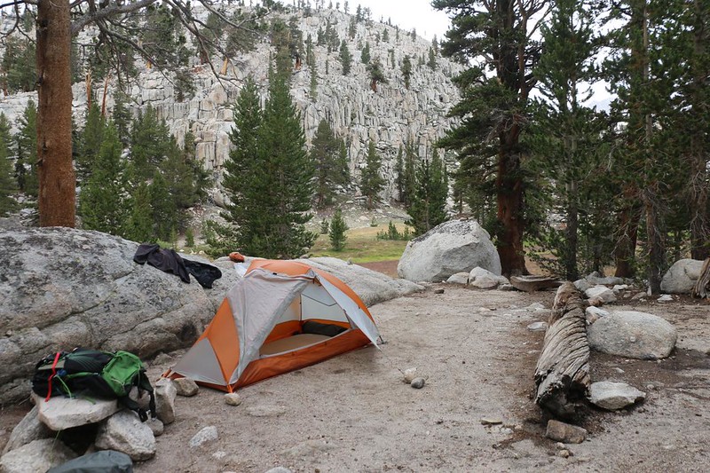
After rushing around camp getting everything ready, well, to tell the truth: I grew bored. The main problem with leaving one place so early is that you arrive at your destination too early. I got out my book and read for a while. I was slightly happier when it rained that afternoon, because I was dry in my tent, but it didn’t rain all that much. It looked like last night was the big storm and that it was all over now. I wandered around along the shore of Soldier Lake, and said hi to the neighbors. Life was good. Boredom only exists if you want it to, after all.

Just the same, I have to admit that once I finished dinner, I went into my tent and hit the sack. I set the alarm for 3am because I planned to get out to my car as early as possible, so I could make it home by evening. And then I fell asleep, an hour before sunset. But that was fine by me. It had been a good hiking day, and that’s what really mattered.
For a topographic map of the hike see my CalTopo Page
For LOTS more photos of the trek see my Flickr Page
 << Back to Day 2 Onward to Day 4 >>

