On the final day of my trek I backpacked from Soldier Lake to Horseshoe Meadows via Old Army Pass and the Cottonwood Lakes Trail. It was a very fast hike, as my plan was to get home as soon as possible. And I did.
I woke up before my alarm (set for 3:30am) and started getting dressed for the day. I packed up all of my gear under the light of my headlamp. I put a strawberry pop-tart in my shirt pocket, so I could eat breakfast on the trail. Even my tent was dry this time, unlike yesterday, so I was happy to have the lightest possible backpack.

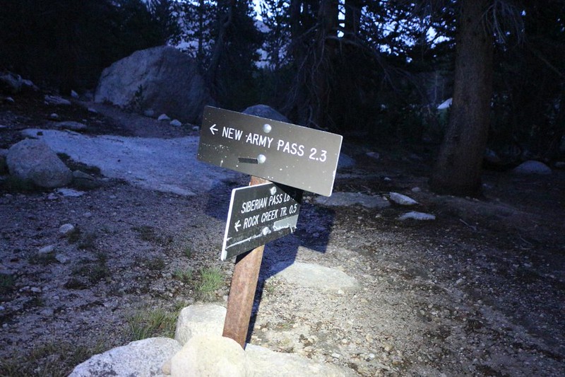
I snuck out of camp without waking any of my neighbors, and headed up the trail. It was barely beginning to get light by the time I reached the New Army Pass Trail, after half a mile or so of hiking. I hung a left and started cruising up the long slope. I had about 1100 feet and three miles of climbing to reach Old Army Pass. It was nice and cool that morning and I blasted right along.
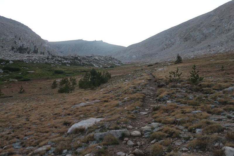
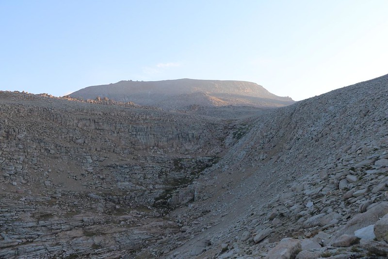
About halfway up, the sun began peeking over the Sierra Crest, lighting up the clouds to the west. I was happy to stay down in the cool valley in the shade, as the second half of the climb was much steeper. I could see the sun shining on Mount Langley to the north, and I remembered when my son and I climbed it back in 2016. That had been a really fun time. But no side trips for me today! My primary goal was to get home, and I refused to get distracted. I huffed and puffed and powered my way up the trail.
And my timing was perfect, because the sun hit me just as I arrived at the pass.


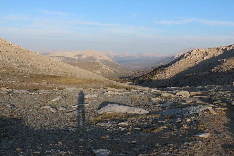
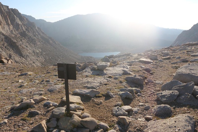
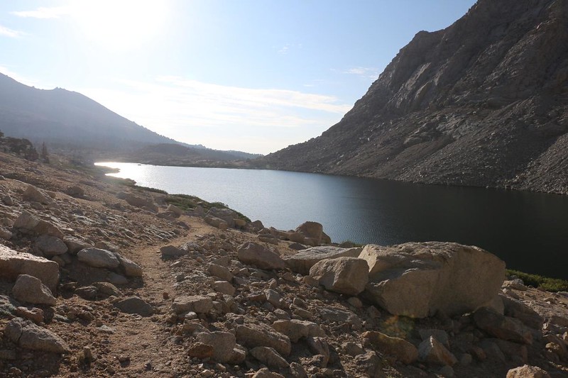
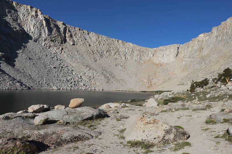
Everything would be downhill from here. I took a few photos on Old Army Pass, but the sun was too low in the sky and I knew that the lens would show nothing but glare. Oh well. We photographers can’t always get the perfect lighting on every shot. Sometimes you have to take what you get, and simply make the most of it. So I didn’t spend long on the pass. I wasn’t tired, and I didn’t need a break. I continued down the unmaintained trail over the old pass and soon enough was down below at Cottonwood Lake Number Four. The total lack of snow this year made the route quite enjoyable.

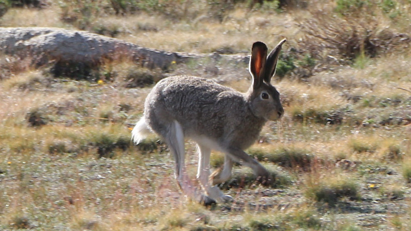
The next step in my plan to Get Home Fast: Cross the Cottonwood Lakes Basin. It was nice and flat, so this was an easy one. I headed down past lake number three, then took the main trail to the southeast. Along the way, I looked back at Mount Langley, saw a gigantic Sierra Jackrabbit, and viewed lake number one in the distance. By the time I reached the edge of the basin, I was halfway to the car, and it only took me three and a half hours. Not bad!


It was about a thousand feet of elevation loss from the pass to the basin, and now I had to descend another thousand to reach the trailhead. The first section was steep, but eventually the trail ended up in the valley next to Cottonwood Creek, and there were several meadows, so the hiking was relatively flat. And very easy. I met up with a large group of teens/young adults. They were hiking slowly, and really hogging up the trail. But I was a Man On A Mission, so I wasn’t going to put up with unnecessary slowdowns. I spoke up: “Passing on the left!” and they were happy to get out of my way. I said thanks and told them that I was like a horse heading for the stables, and that I could smell the hamburgers and pepperoni pizza down in Lone Pine from all the way up here! They laughed and agreed, because they’d eaten too much trail food, too! But their pace wasn’t as brisk as mine, and it wasn’t long before I left them far behind.


I arrived at the trailhead parking lot and it was still mid-morning. I threw my pack into the car and got out a can of soda. I chugged it down happily. This was simply the first taste of civilization for me that day. I changed out my sweaty shoes and socks, which made my feet much happier. I decided not to bother with the rest of the clothes as no one would be smelling me anyway. I started up the car and began driving right away, heading down the big hill on Horseshoe Meadows Road toward town. I decided to use the drive-thru at Carl’s Jr so no one would have to smell my stinky hiker-ness. I would shower when I got home.

On the way back to San Diego, I thought about the trip. It had been quite good, for such a slapped-together trek. It would have been better had my son been along so that we could spent a full week together, but such is life. Next year we’d give that longer trek a try. Meanwhile, I had made it into the memorable and beautiful Miter Basin, and I wasn’t regretting a moment of it. Great times in the High Sierra!
For a topographic map of the hike see my CalTopo Page
For LOTS more photos of the trek see my Flickr Page
 << Back to Day 3

