I hiked through Upper Le Conte Canyon to Muir Pass along the Middle Fork Kings River, passing many lakes (including Helen Lake) along the way, and explored the Muir Hut on top of the pass.
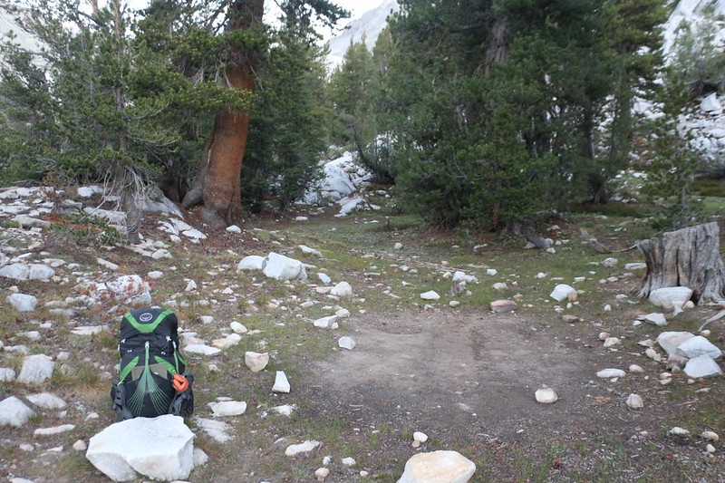
To begin my day, I woke up in the dark, at 4am. I kept my legs in the sleeping bag and cooked some oatmeal for breakfast. I ate, then began the ritual of changing into my day clothes and packing everything in its proper place. I was able to start hiking before dawn, while there was still enough light for photos. It was also quite cold, so I started hiking uphill vigorously to build up some body heat. I felt good, and was ready for an excellent day.
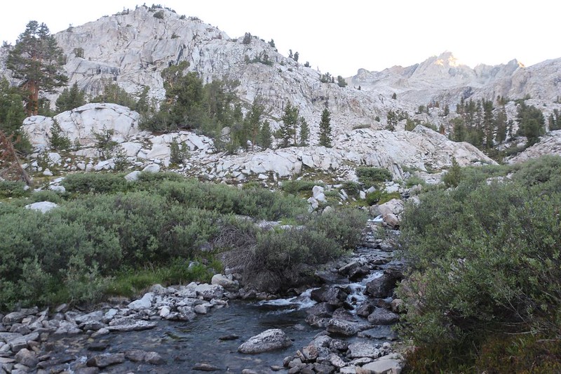

After passing a number of minor waterfalls, the canyon flattened and widened enough to host a couple of small ponds. The trail did most of its climbing in between these lakes, which made it fun. I had to climb about 1500 feet to reach the pass, over a distance of 3.5 miles, so it wasn’t overly steep along the way. A typical 10 percent Sierra Grade. I was getting used to this, and the cool air of morning made climbing desirable. It was chilly out there!

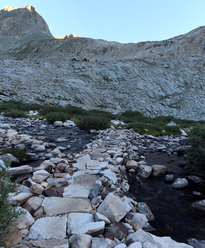

I continued climbing into the upper canyon, passing yet another small lake, and finally came upon my first snowbank. The sun had climbed high enough to overtop the Sierra Crest in the east, and it felt good on my legs. The views of surrounding peaks had begin to improve, as well. This is really why we climb in this steep and difficult terrain: The awesome views!


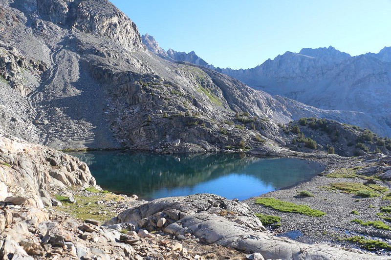

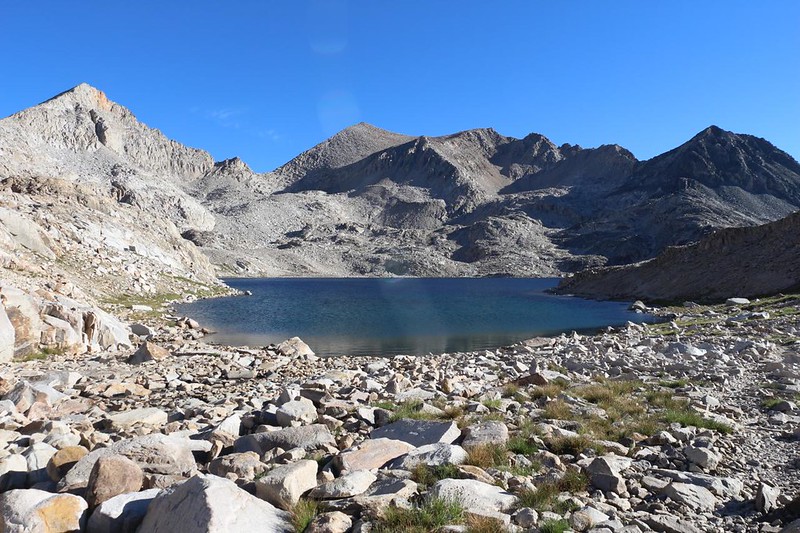
Helen Lake, in the basin below the pass, was impressively large. At 11,617 feet elevation, there wasn’t much vegetation surrounding it. It was truly a High Sierra, granite-lovers kind of lake, one of the last to thaw in the Spring. And, no, on that cold morning, I didn’t bother to test the water temperature!

After hiking along the lakeshore, the trail headed for the pass. Only 400 feet to go! It switchbacked its way out of the upper basin, and there were great views looking back down into Le Conte Canyon, which I would soon be leaving behind.


I had the pass to myself when I arrived. Yet another reason to wake up early and get hiking before dawn! And the views were tremendous, At 11,955 feet, it was about as close to 12k as Bishop Pass had been. There was a solidly steady breeze blowing south over the saddle, which made for quite a bit of wind chill. But that didn’t matter, as I was still warm from climbing. I got out my GoPro and Canon t5i and began a photo and video shooting frenzy. What a great spot! Here are just a few of the many shots I took:


GoPro video from Muir Pass as I explored the Muir Hut


My body heat didn’t last. Taking photos wasn’t exactly hard work. I decided to take a long break inside the hut, and I put on a light windbreaker jacket. It was way too early for lunch so I ate some snacks, sitting on some wooden boards near the north-facing window. I alternated between reading my book and looking out at the view. Evolution Basin was down that way, and I’d heard only good things about the entire Evolution Valley, so I was eager to check it out. I looked at my map and studied the lakes and nearby peaks. I made a rough plan for the rest of the day’s hike.


Eventually, of course, I went back outside and started in again, taking even more photos. I can’t seem to help myself. I just love being up high like this, where the air is thin, the sky is ultra-blue, and the mountains are sharp and clear on the horizon.
For a topographic map of the hike see my CalTopo Page
For LOTS more photos of the trek see my Flickr Page
 << Back to Day 2 Onward to Day 3b >>

