On the fifth day of our nine day trek, we hiked on the Pacific Crest Trail from Castle Pass to the official Northern Terminus at the Canadian Border! And then we hiked back to our camp at Castle Pass, of course. Sadly, it requires far too much paperwork to cross the border legally these days, so after that we would spend the next few days returning to our car at Harts Pass.
This was somewhat of a “zero day” in that we stayed in the same spot for two nights. That’s why we weren’t worried about getting up early. We woke when we felt like it, then cooked some breakfast up in the main part of the Castle Pass campsite. It was a damp, foggy morning, and we weren’t in a big rush. We didn’t even have to pack up camp!

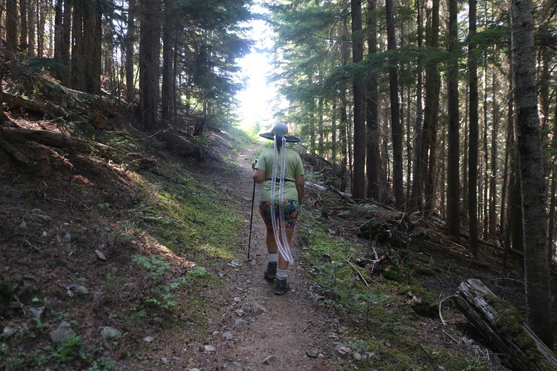
Getting to the border would be easier than getting back, as it was 1200 feet lower in elevation, but Vicki wasn’t too worried this time. And why should she be? She had me to do all the heavy lifting! And what I carried wasn’t heavy at all. We just put a few items like water and lunch in her otherwise empty backpack, and away we hiked. PCT hikers call this “slackpacking.”

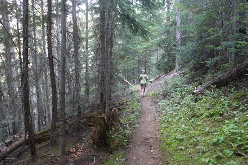
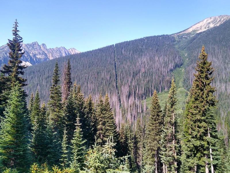
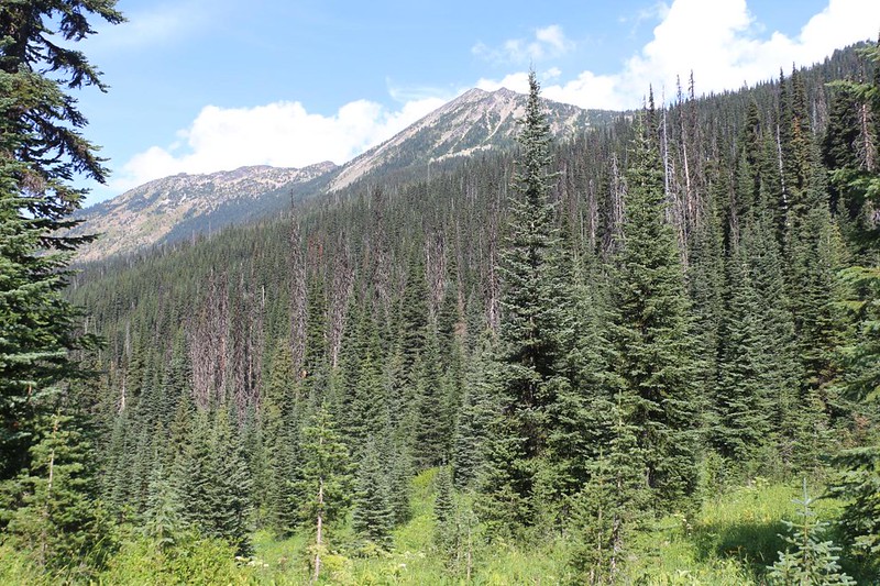
The trail followed along above Route Creek, which remained far below on the valley floor. Mostly we hiked through dense forest, gaining views on rare occasions. As the morning progressed, the cloudy layer above us melted off in the sun. It was a very fast hike on an easy, smooth trail. Vicki was loving it. And it seemed to take no time at all before we could see the trench of missing trees heading north over the shoulder of Frosty Mountain. We were almost at the border!


We did a few final switchbacks and suddenly, there it was: The Northern Terminus Monument! In fact, there were two monuments, which I hadn’t realized. The older one was a metal obelisk set in concrete, like a scale model Washington Monument. The wooden one was almost identical to the one at the Southern Terminus. Some hiker had placed small US and Canadian flags on it, which made for an excellent picture. Thanks!


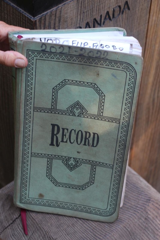
Around the back of it was bolted a metal cartridge box that contained the official trail register for the years 2021 and 2022. It was a very thick book. We got it out and signed it, of course, using our Trail Names, which is the proper thing to do.


Another generous hiker left a cell phone mini-tripod inside the box, so of course we used it. There was even a convenient log standing on end nearby, perfect for placing the tripod. We took a number of timer shots, only one of which is shown here. We deployed every camera we had, to make sure that we recorded this for posterity.

I also took a number of photos of the immediate area. Most striking was the trench of missing pine trees that marked the border. It stretched off in both directions, north and south. It was like the opposite of a border wall. It was the absence of a wall, which is a fitting symbol for two inherently friendly countries. Just the same, I had a feeling the the United States is the one who paid to chop those thousands and thousands of trees. You have to wonder sometimes at the absurd things they spend our tax dollars on.
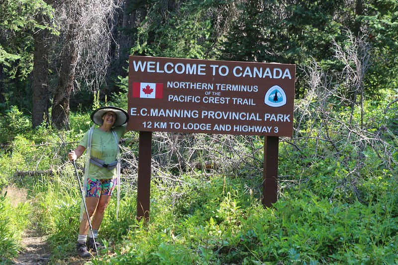
On the Canadian side, there was a big wooden sign saying “Welcome to Canada!” Vicki posed by this sign, since she has Canadian blood. It was a shame that the US didn’t bother with one. But I suppose that if they acknowledged this border crossing then they’d have to have a border guard standing there 24/7! Better to pretend it doesn’t exist, like the other thousand miles of no-tree trench.

We decided to eat our lunch there, and sat around talking to other PCT hikers who arrived. They were all quite happy to have made it, but also kind of saddened, as well. What would they do now? Would they have to go back to civilization and their humdrum, ordinary lives? Probably, yes. But at least they had another thirty miles to hike to get back to Harts Pass, so it wasn’t entirely over yet. Sometimes it’s good to have a brief denouement after the climax of one’s very long hiking tale.
And then we turned around and headed back to our camp at Castle Pass.

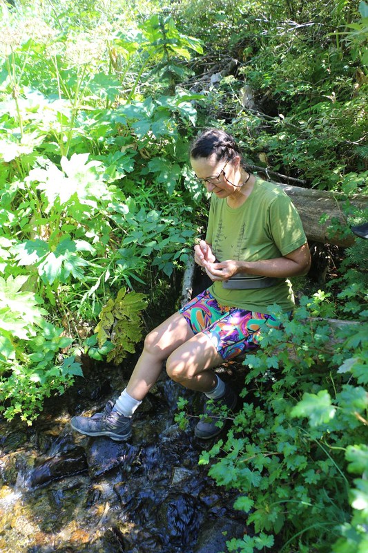
It was getting warm, and we had four miles to go, uphill all the way, even though 300 feet per mile is a fairly mellow grade. We got some occasional views of nearby peaks, and watched the cumulus clouds growing. We wondered if there would be a thunderstorm later that afternoon. Vicki found one thimbleberry! All the others we’d seen were long since eaten. She munched it gladly. I found several huckleberries, too. This time we decided to collect our drinking water at one of the two creeks that directly crossed the trail, rather than go off-trail like we did yesterday, even though it meant carrying sixteen pounds an extra mile. Uphill. But that was my problem.

We got back to camp and just hung out in the tent reading our books. It was nice to relax after a fun and easy day of hiking. Vicki was extra happy, as she made it to Canada at last!

Later on, we got out the stove and cooked some dinner, and talked to a few other PCT hikers. Most of them had camped back at Hopkins Lake, so they didn’t stay long. Since we would be retracing our steps for the next four days, Vicki already knew what to expect. Tomorrow was going to have a lot of uphill hiking! She wasn’t amused, but she also had no choice. There were no roads out here. The best we could do was enjoy the experience. So, once again, I set my alarm for 3am, and we headed to bed before sunset. After our failed trek back in 2014, we were both so happy to have completed it this time. As we went to sleep, each of us was thinking “I made it to Canada!”
For a topographic map of the hike see my CalTopo Page
For LOTS more photos of the trek see my Flickr Page
 << Back to Day 4 Onward to Day 6 >>

