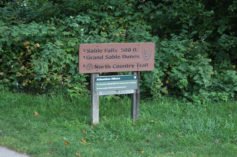
We decided to begin our hike through Pictured Rocks National Lakeshore on the North Country Trail, by starting on the eastern end of the park and hiking west for 12 miles, from Sable Falls to the Hurricane River, passing near Grand Sable Lake, the Grand Sable Sand Dunes, the Log Slide, and the lighthouse on Au Sable Point, with last part of the hike situated directly along the shore of Lake Superior.
After hearing about the North Country Trail (NCT) running from one end of the park to the other, we decided then and there to hike the whole stretch, about 42 miles. This was only one percent of the 4500 mile trail, but that would be a start! We laughed. It turned out that it may well be the most popular one percent of the entire trail! Then we started researching how to do it. There are many backcountry campsites within the park set aside for backpackers, but the sites had to be reserved online beforehand, and you also needed an overnight permit. This is normal in many national parks. Too bad we were so late in reserving ours. We eventually came up with a plan to backpack for three days (two nights) on the middle sixteen miles, and dayhike the other sections. Luckily for us, our friend was giving us a place to stay, and we could get car shuttles, too. We were really excited.
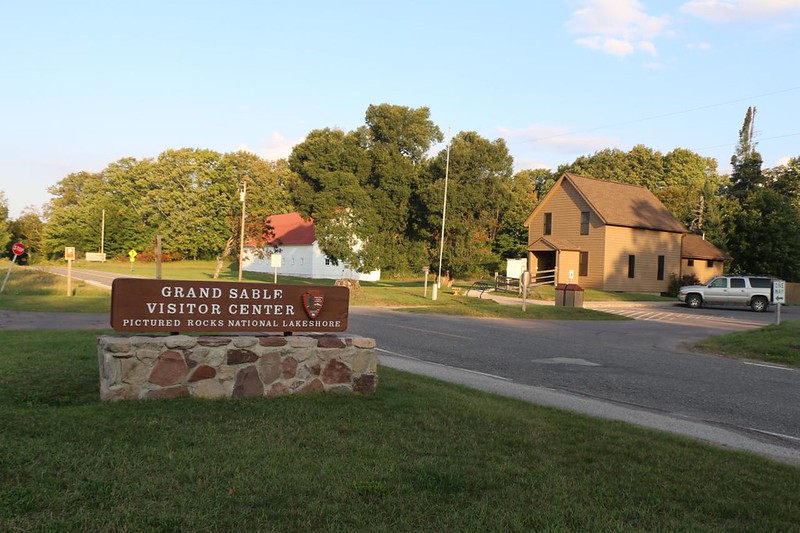
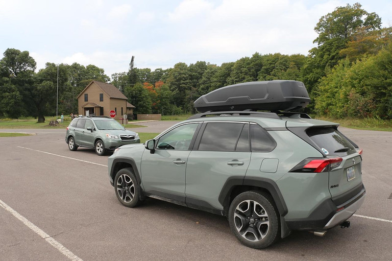
We decided to tackle the trail from east to west, and the first dayhike was going to be quite long. So we got on the road before dawn, for the hour-long drive to the east end of the park, not far from the town of Grand Marais. There was an official visitor center there where we could park.

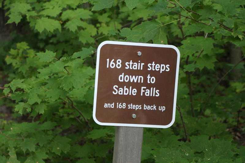
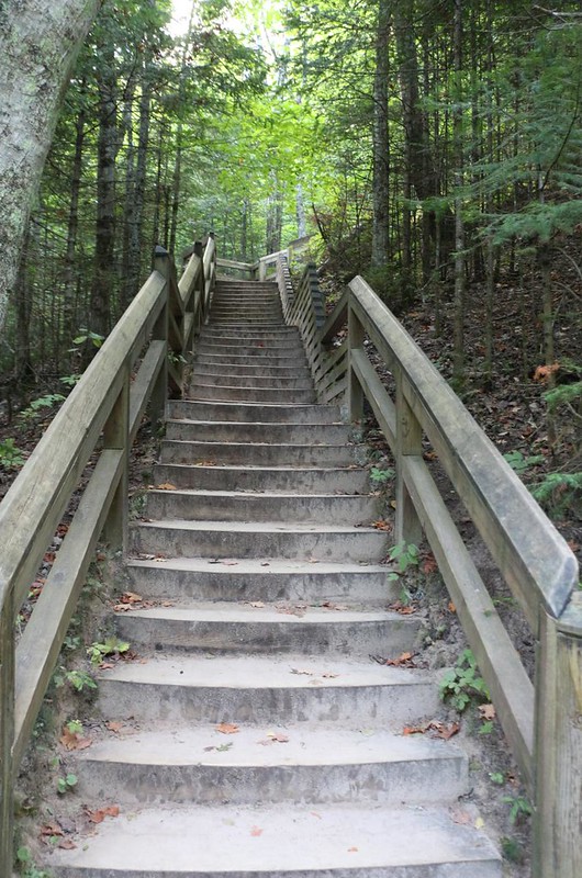
We began at the Sable Falls visitor parking area, and headed down to see the waterfall. There were lots of wooden steps on the way. This was a very popular spot, so a simple dirt/rock trail wouldn’t suffice. But at this early hour, we were the only ones there, and had the place to ourselves. It was very nice. We love waterfalls.

After climbing back up the steps, Vicki headed to the car while I continued west on the North Country Trail. I hiked the extra mile to the official Visitor Center and met Vicki there. This saved her sore foot (she recently developed plantar fasciitis) from some extra hiking, and made sure that she’d make it to Hurricane River, our eventual destination.
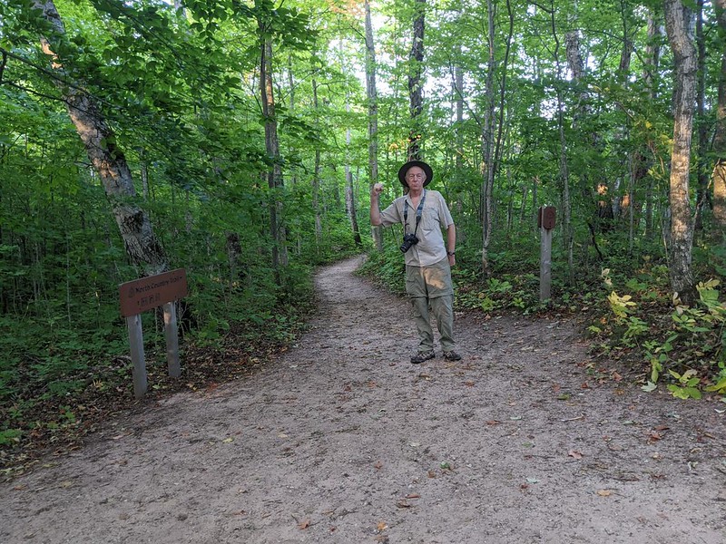
We left the car and started hiking. Eleven more miles to go! I was carrying our big daypack which had supplies for both of us, to take the load off of Vicki’s poor foot. I’ve been told that I’m merely Vicki’s Pack Mule, but I’m too stubborn to truly believe it.
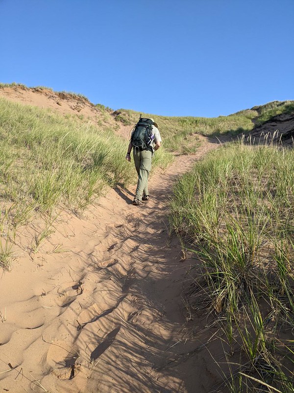
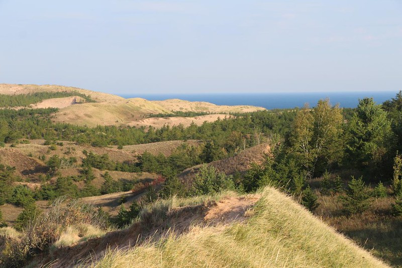
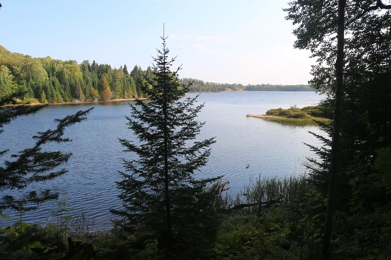
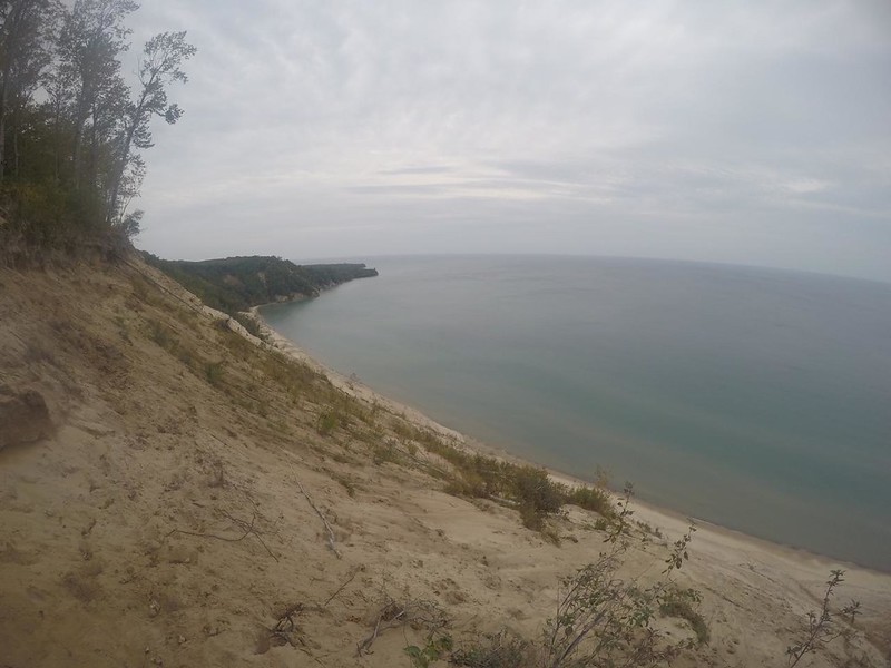
After hiking through some pleasant Maple-Beech forest, the NCT arrived back at Highway H-58, not far from Grand Sable Lake. We took a side trail to the north and climbed up a big sand dune. It was quite a slog, through deep sand, but we were glad we did! We got a great view out over the Grand Sable Dunes, and saw mighty Lake Superior in the distance. Plus a great view of the lake down below. Nice.


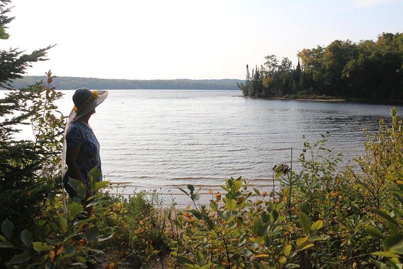
After that, we continued on the main trail, which followed the highway initially, then curved around along the lake’s shore and then into the forest. That was one seriously large lake! Very impressive.

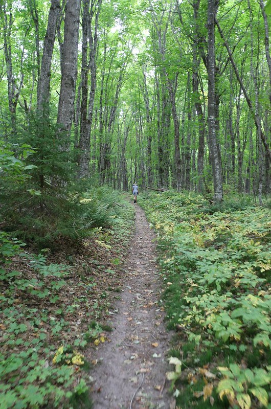
The trail continued onward into the forest. We were really enjoying the tall green trees. It was like a cathedral in there. After hiking through oaks and pines in the arid California mountains, this was an extraordinary treat for us. For, after all, the two of us had grown up on the east coast, and it brought back fond memories. We really enjoyed the peacefulness of the maples.


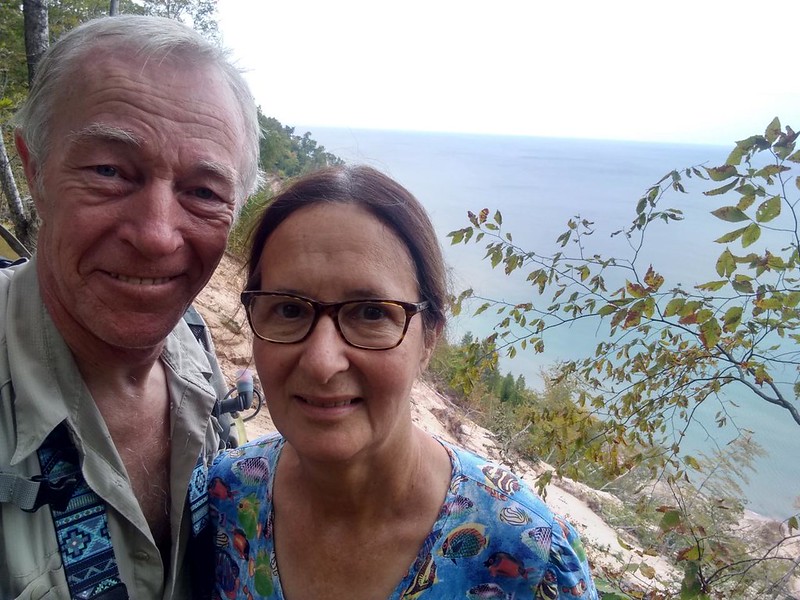
The trail gradually made its way west, along the forested edge of the Grand Sable Dunes. We stopped for a lunch break at the Masse Homestead campsite, and climbed up onto the dunes to eat. Once again, we had a fine view north over the vast sand dunes that line the shore of Lake Superior on the east end of the park. It was a warm day, and it was nice to feel a breeze up there. After eating, we continued hiking within the forest.

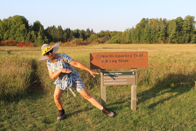
Eventually, the trail reached the western end of the sand dunes, and approached the shore of Lake Superior. This was where we encountered the famous Log Slide. There were several interpretive displays, plus some warnings about walking down the sandy slide (reminding folks that they would have to climb back up), and also a shed with one of the original log carrying “wagons” complete with gigantic wheels. Very cool. Vicki and I already had enough mileage to hike that day, so we didn’t bother going down the dune to the lake. But I would have, otherwise. It looked like fun. Going down, at any rate…


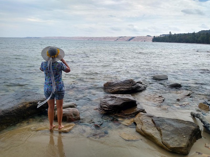
We headed north on the trail, high above Lake Superior. There were several great view spots along the way. Then the trail descended to lake-level, and we stopped for a break on the lake. It was a hot day, and our feet were quite toasty and sweaty. So we took off our boots and walked into the chilly lake water. It was pretty darned cold, and I was no longer surprised that people died of hypothermia after falling in this lake, even during the Summer months. But I have to admit that our feet felt much better afterward!


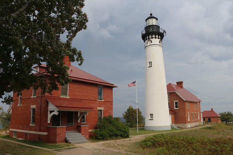
We continued hiking along the coast. Easy walking on a smooth trail. Soon we came to Au Sable Point and its lighthouse. This light it is still used for navigation, but not using the old lens system. It has a modern, automated, 12 inch LED light that is mounted on the outside walkway. Now the site is being preserved by the Park Service. Unfortunately, due to Covid-19, the lighthouse wasn’t open to visitors. It would have been cool to go up there and check out the view. While we were there, a moist cloud came through, and it rained a bit on us. Just a sprinkle, but we still ran to the porch of the lighthouse and watched the big drops come down. It was a warm day, so we weren’t too worried about getting wet.

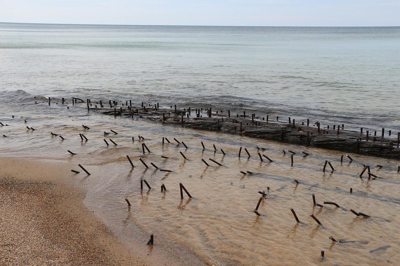
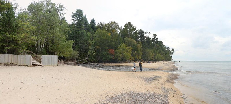
There was a sign directing us to the beach if we wanted to see the remains of some shipwrecks. So of course we went that way. Much better than hiking on a boring dirt road. The weather was calm and there weren’t any waves. Perfect beach-walking conditions. And we got to check out some of the wooden beams from the old cargo ships. Lake Superior is huge, and ocean-sized boats ply its waters. And it’s also known for major storms and huge waves, nearly thirty feet in height! I didn’t want to be too close when it was angry.


The final mile of the day’s hike was on the lighthouse road, which was closed to traffic, so it was an easy walk. Along the way I texted our friend using my Garmin InReach as there wasn’t much cell service in this section of the park. When we arrived at the Hurricane River parking lot, we only had a short wait for our friend to come and pick us up. We checked out the bridge over the river and watched the water flowing down into Lake Superior. Very mellow.


We were really grateful for the ride, as it was a long way to drive, to get both there and to the east end of the park where we left our car. It sure was nice to know someone who lives in the neighborhood!
On the drive back to our friend’s house, we talked about the day, and how it had been a lot of fun. Vicki’s foot didn’t do all that well, and she was limping a bit. I promised her that tomorrow’s hike would be shorter, and then we began planning what to bring in our big backpacks. I was excited to have a chance to camp along the trail, and to check out more of this beautiful park.
For a topographic map of the hike see my CalTopo Page
For LOTS more photos of the trek see my Flickr Page
 << Back to Day 1 Onward to Day 3 >>

