I spent a day and night testing my new 2023 backpacking gear, first in the snow by Lake Cuyamaca, then afterward in Anza-Borrego Desert State Park, in the Collins Valley area north of Borrego Springs. The gear performed (almost) flawlessly.
Why was I testing my gear? Because I foolishly signed up to do a long-distance thru-hike on the Pacific Crest Trail this year! It didn’t seem foolish last November when I got the permit, but after a record snow season in California, it was looking more ridiculous than ever. But I wasn’t about to give up! I had been buying newer, lighter gear all Winter long, in preparation for the big hike. It was time to test it out, now, before the trek began.
I decided to leave two days after a cold Winter storm blanketed San Diego’s mountains with a couple feet of snow. By then, the “Chain Control” issues on the mountain roads were finished, so I knew that I could drive there. Technically, my 4WD Rav4 doesn’t allow me to use chains, according to Toyota, but how could I explain this to the Highway Patrol? It was also a weekday, so the crowds of kids (we don’t get much snow in San Diego) would be minimal. Perfect time to travel to the desert.

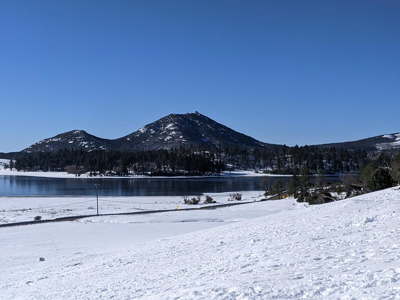
I drove through Cuyamaca Rancho State Park, which was closed to visitors, and eventually found a likely spot to park just north of Lake Cuyamaca. Technically, I was within the boundaries of Anza-Borrego Desert State Park, but you’d never know it by looking at the snow and the trees! I was the only one there at that hour. It was thirty degrees and sunny, and the snow on the nearby hillside was perfectly crunchy. There were plenty of tracks from yesterday afternoon’s snow play, but it was icy right now.
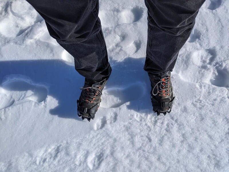
It was time to test out my new Kahtoola K-10 hiking crampons. I already owned an ice axe, so I carried it with me, but it turned out that the hill wasn’t all that steep. Plus, those crampons really did the trick! There was no way that I could have slipped with all that traction. So I climbed up the hill and took in the sights and views over Lake Cuyamaca.

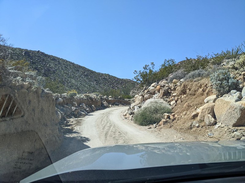
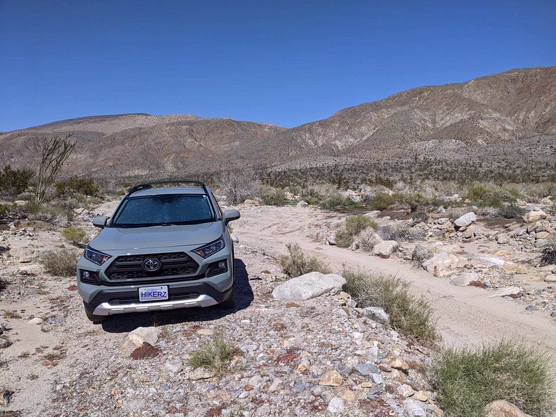
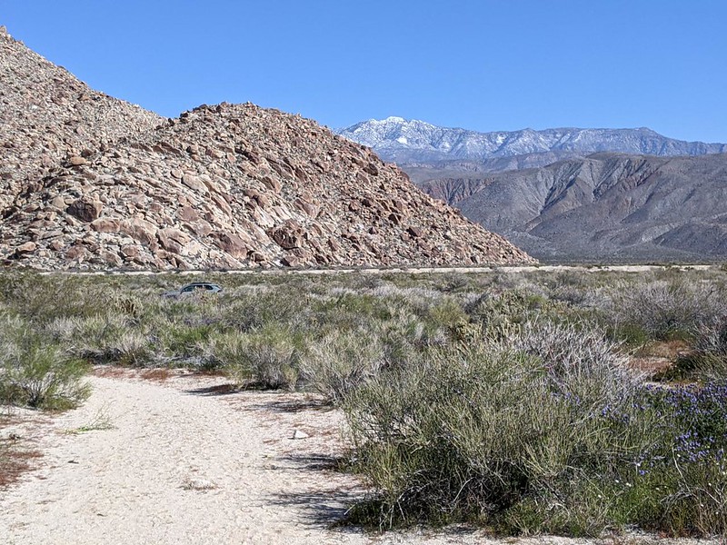
After that, I continued east, down to the desert floor. I drove through the town of Borrego Springs until I reached the southern end of Coyote Canyon Road. Then I put the car in 4WD mode and headed even deeper into the canyon. I crossed Coyote Creek several times and eventually parked on the side of the road near Lower Willows.


My plan for the weekend was to spend two nights. The first day I would backpack about ten miles, to a spot north of Middle Willows. Vicki and I had done part of this hike, way back in March 2010, to a spot just south of Middle Willows, and I figured that I could make it a bit further today, with my vastly lighter gear.
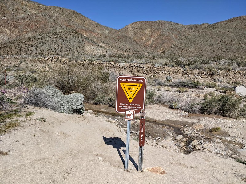
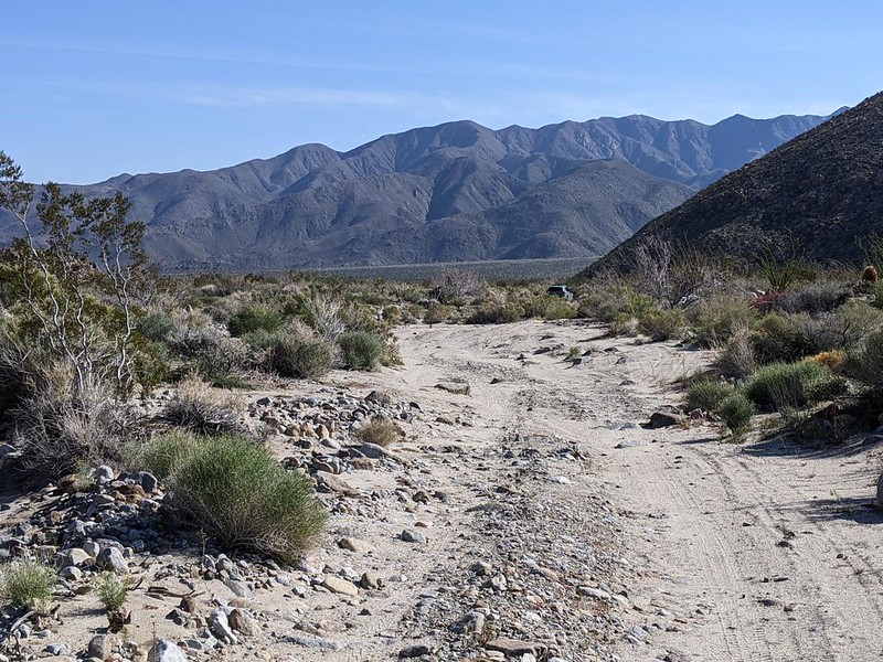
So I got my pack out of the car and started into Lower Willows, following what I thought was the trail. It had a sign in the beginning, but it wasn’t very well marked. It had also gotten seriously overgrown during the last thirteen years! Wow! If there was a proper path through all that undergrowth, I certainly never found it. The waters of Coyote Creek had done their inevitable work, and the brush was ultra-thick. It was absolutely impenetrable to a person wearing a big backpack. Machete use was, sadly, prohibited. Not that I had one. They aren’t exactly considered ultralight backpacking gear!

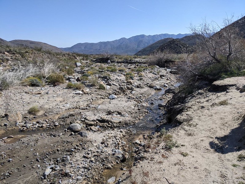
It didn’t take long before I ended up hiking over boulders on the steep side-wall of the canyon. And even then, the going was very slow. Lots of route-finding, and I kept hoping to see the nice trail that Vicki and I had hiked so long ago. Maybe it was on the far side of the canyon, I thought. But how to get over there? It was impossible, short of returning to the car and starting over. I spent over an hour, and barely made it half way through the Lower Willows region. If I could only get beyond it, I would be fine, as the main wash would be dry, with the waters far below in the sand. But I realized that I’d never get all the way beyond Middle Willows at this rate. So I opted to bail out, by climbing up and over the ridge to the west, and returning to my car via the main road. I wasn’t here to suffer; I was here to test out my gear!


By this time, it was already afternoon. I decided to save time by driving my car as far as possible toward Middle Willows. The road was closed to vehicles between Middle and Upper Willows, and I had never been in that “horses-and-humans-only” section of Coyote Canyon. I really wanted to camp in there, for the solitude if nothing else. Vicki and I had already camped in the distant region above Upper Willows, getting there via the town of Anza, in the northernmost region of the park. (Sorry, but there was no blog post for that trip, as it was mainly a car campout.) As I drove north beyond Salvador Canyon, the condition of the road deteriorated significantly. Eventually, it was obvious that I would damage my car if I went any further, so I parked it and hiked onward to the next set of willows.
I had high hopes this time, as there was no other way to get north of here except on the trail. But my hopes were dashed once again. What looked like a great path (complete with human boot prints!) turned out to be yet another evil bushwhack, and soon enough I ended up climbing on the canyon walls, looking down on the impenetrable willows. It was quite a pretty view from up there, but it didn’t look very viable. This time, however, I didn’t spend as long getting frustrated. ” Why suffer?” I asked myself once again. The primary goal was to test my gear, after all. It would have been nice to explore a new region of the park, but it wasn’t going to happen today. So I turned around and headed back to the car.


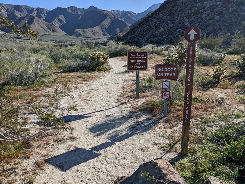
Third time pays for all, I said to myself. I knew that there was an excellent trail to Cougar Canyon, totally without willows, and it wasn’t very far away. Vicki and I had camped there back in January 2011, and it was beautiful. So I drove to the trailhead parking area near the Sheep Canyon campground. It was already 3pm by the time I got there, but thankfully the hike was a short one. I would have plenty of time to test my new stuff. Plus, I appeared to be the only one there! Maybe I’d get my solitude after all.
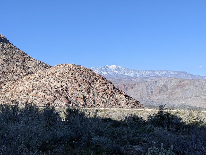
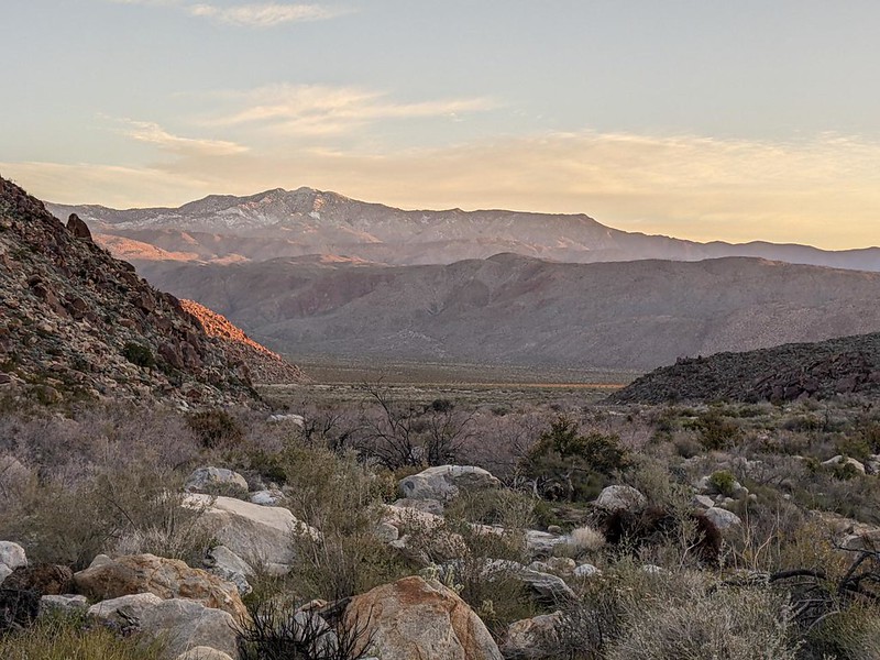
After hiking up the valley, I discovered that Cougar Creek was flowing extremely well. In fact, it was difficult to find a dry route across. Obviously, all that snow up in the mountains to the west was melting in the sun, and the creek was swollen this late in the afternoon. I crossed the creek and continued on, seeking a sandy spot near the mouth of the canyon.


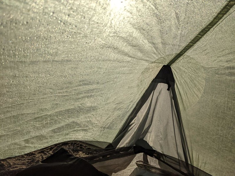
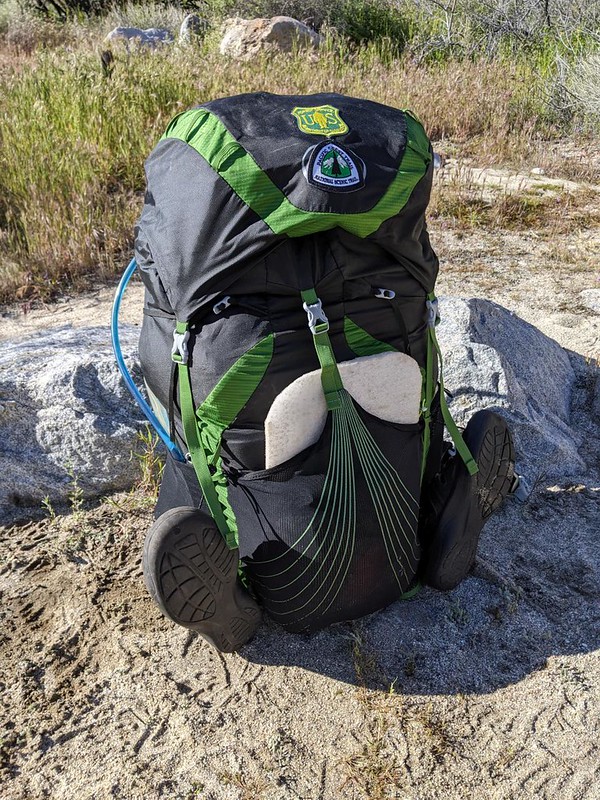
I found a flat area not far from the creek. I would be able to hear the water all night, which I find peaceful. I got out my new tent and began to set it up. It was just about the lightest tent on the market, made of Dyneema fabric (formerly known as Cuben Fiber), originally developed for use in sailboat racing. There are several makers of these ultralight tents, and after reading online reviews, I ended up buying the Aeon Li model from Tarptent. And, before you ask, let me say that it wasn’t cheap. So it had better work! Already, this one item dropped my gear’s “base weight” by almost two pounds, so that was huge! (The “Big Three” of backpacking are the Backpack, the Tent, and the Sleeping Bag, and it’s easiest to knock weight off these items.) My previous tent was free-standing, which was really nice, as this new one required one hiking pole and had to be staked out in order to stand. Luckily, I only carry one hiking pole anyway, for use on stream crossings and steep downhills, so this was perfect for me. Once I got inside, I found the headroom to be a bit tight unless I sat up dead center, but at least the roof wasn’t against my face while lying down, which was a major consideration. Just the same, spending the night would be the real test.


I wasn’t very hungry that night, so I just ate some snack and drank the water I carried. I hung out by the creek until the air began to get cool, then climbed into the tent. I got dressed in my warm clothing, and read my book until I got sleepy. Just another solo night in the wilderness.
The next morning I woke up at first light, then went back to sleep. I noticed that the inside of the tent was covered in condensation, which seemed odd as I was out in the bone-dry desert. Maybe the cold air coming down the canyon was closer to the dew point. Or else I was breathing too much. Since I wasn’t cold, I opened the tent door to let in some air, hoping to dry things out, and went back to sleep until the sun got higher.
Eventually I woke up and decided to check out yet another piece of gear: My new JetBoil Flash stove system. I boiled a cup of water and made myself some oatmeal, then sat there in the tent eating it peacefully. This stove was about half the weight of my MiniMo stove system, and it seemed to work just fine. Some people call the cooking gear part of the “Big Four” but I’m not so sure whether this is wise, as many hikers don’t bother to cook. Of course, some don’t bother with a tent, but they still have something to shelter under, so the Big Three is real enough.


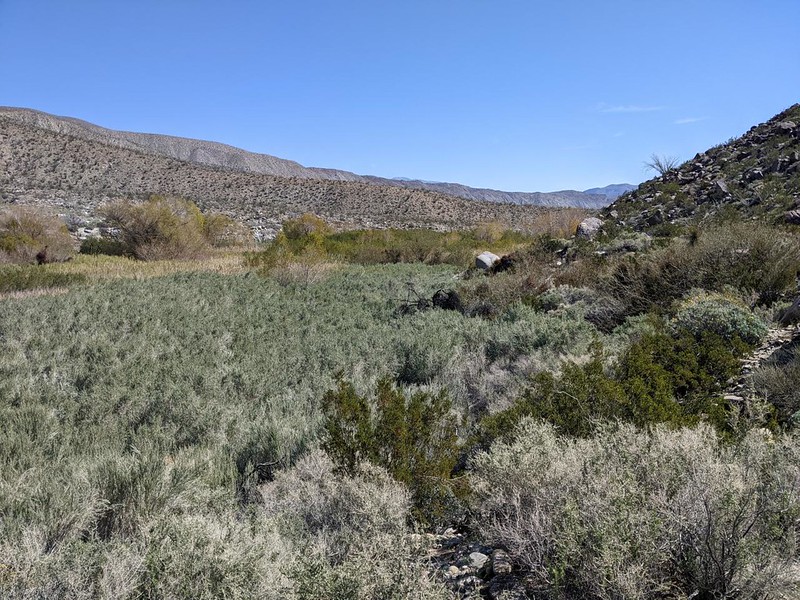
My original plan was to spend two nights out here, but that changed due to the madness of the Willows. I decided, since the Gear Testing portion of my trip had been satisfactorily accomplished, that it was time to head on home. I liked the desert just fine, but thus far the 2023 Spring Bloom had only been average, at best, so why bother staying longer? I waited around, reading my book, until the sun dried out the tent, then began packing everything in earnest. It was time to head out!

I headed down the trail, and once again had to find a spot to cross Cougar Creek. I don’t know why, but it looked completely different from this side! I found a new route after a few false starts, and eventually ended up back at the trailhead, and my car. It was downhill all the way. and I made it back in no time. This was too easy!

It was still early enough that I managed to drive back to the wider sections of Coyote Canyon before getting stuck in a head-on situation on one of the single-lane dirt roads. Excellent! Leaving early has its good points. Soon enough, I met with entire convoys of jeeps heading into the Collins Valley area. Just in time!
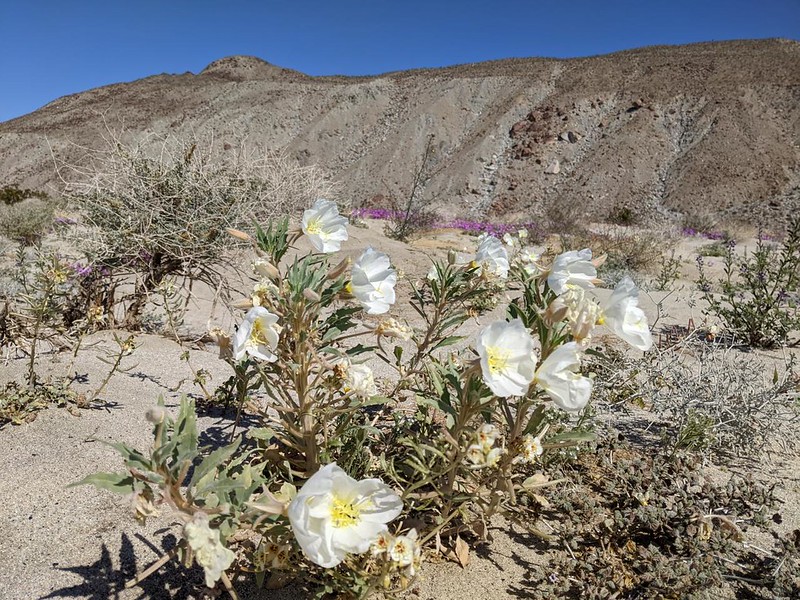

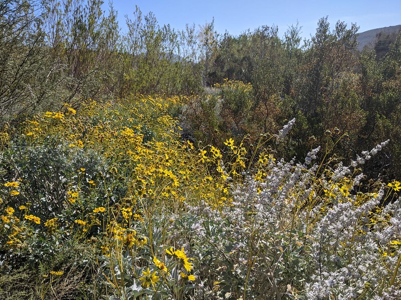
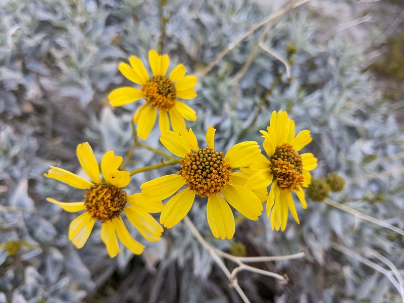
I stopped to take a few more photos of the desert wildflowers, then continued on to San Diego. It was nice to be back home, I thought. And the trip had worked out well. The only gear issue I had was with the tent’s condensation. I figured that I could stop that by leaving the doors open on non-rainy nights, and if it was raining then I wouldn’t care. All in all, I was really looking forward to hiking on the Pacific Crest Trail in a few more weeks with my vastly lighter backpack!
The rest of the trip’s photos and videos can be found on my Flickr Page.
For an interactive topographic map of my hike, including GPS Tracks, please see my CalTopo Page.

