Kings Canyon 2009

Vicki and I backpacked into the Monarch Divide region of Kings Canyon National Park in August 2009. It was an eight day trek. It was also the culmination of a lot of planning, as we hadn’t done a long backpacking trip for several years, not since our sons were in the Boy Scouts. Coincidentally, it fell on our 25th wedding anniversary, so we decided to celebrate that, too.

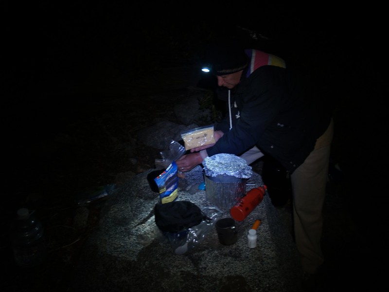
Getting our gear together was fun. We decided to buy nice new goretex raingear, but that was about it. We’d use our old gear for everything else, as we were experienced backpackers and had collected a good supply over the years. Choosing sleeping bags was tricky, as we didn’t know how cold it might get up at 10,000 feet elevation, even in high summer. We ended up choosing two goose down bags, the lightest and warmest ones we had. Then we had to get fuel and food.  We stuck with our trusty Whisperlite stove and took a full bottle of gas.  On a previous trip I actually weighed the gas we used, and it came out to 23 grams per day, so a 20 ounce bottle would be way more than enough. We went with a bunch of store-bought freeze-dried dinners and breakfasts, but created our own do-it-yourself lunches and snacks.

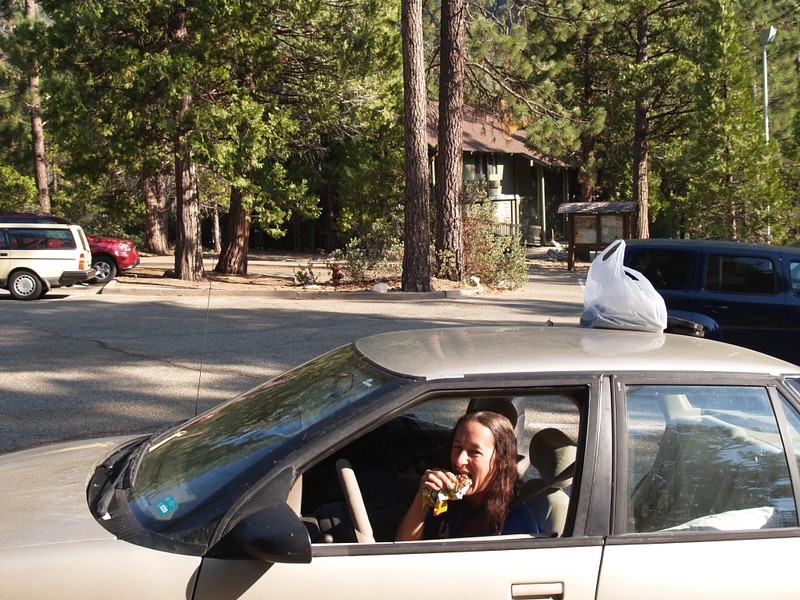
Packed and ready, we left San Diego at 10pm for the eight hour drive to Roads End, on Highway 180, in Kings Canyon National Park. We entered the park at 5am and the toll booth was closed, so we didn’t pay the entry fee. We figured we’d pay it when we left. Meanwhile, we had to arrive at the Ranger Station before 7am so that we could get our permit and get hiking right away. We had a long climb ahead of us. We were early enough that I took a short nap while Vicki waited in line. Soon we had our permit.

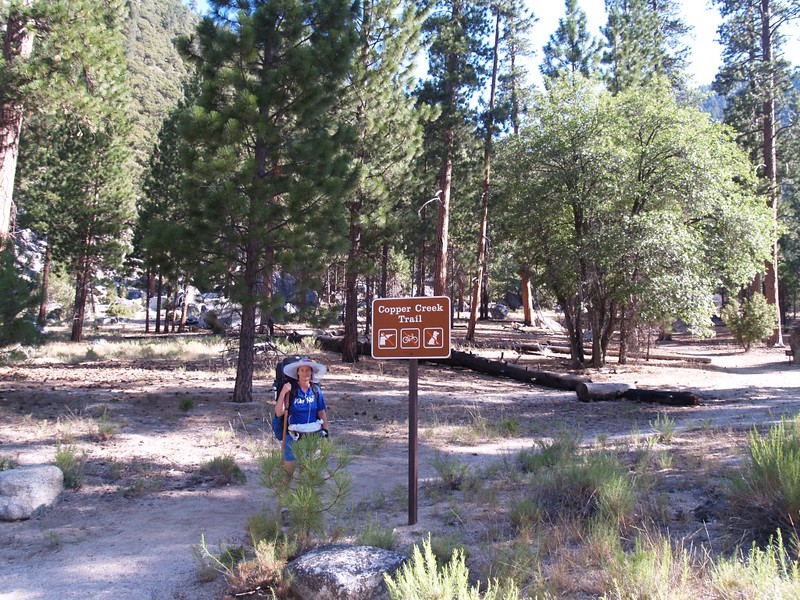
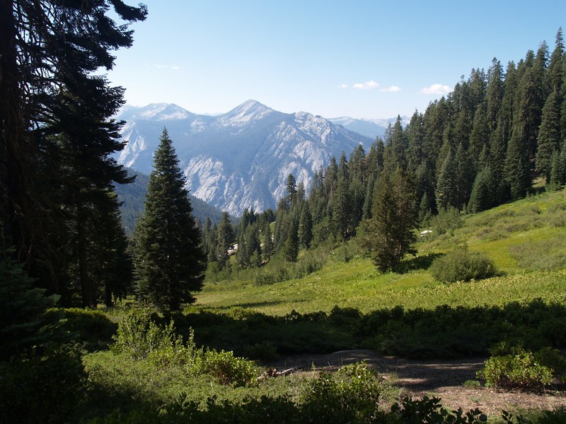
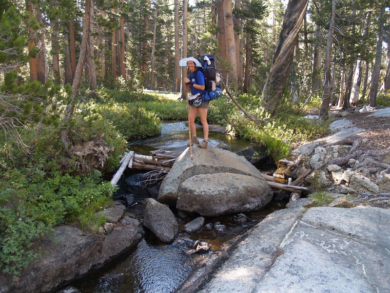
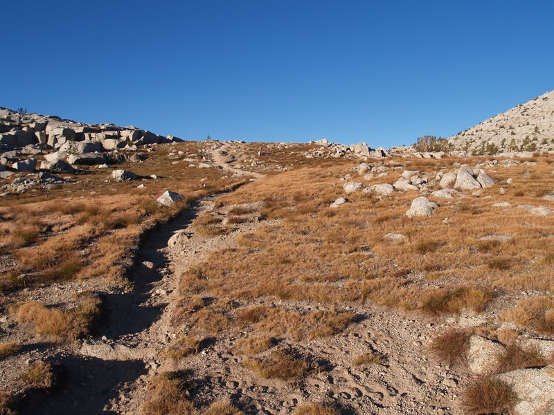
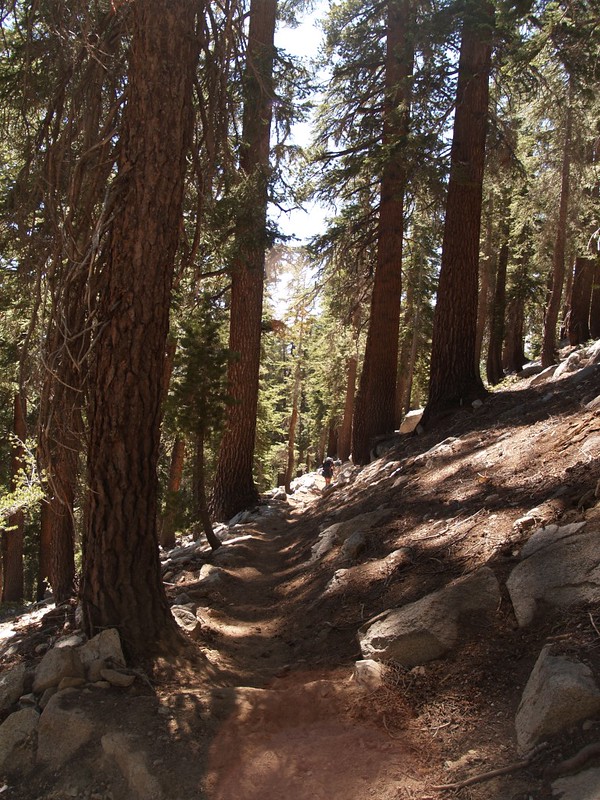
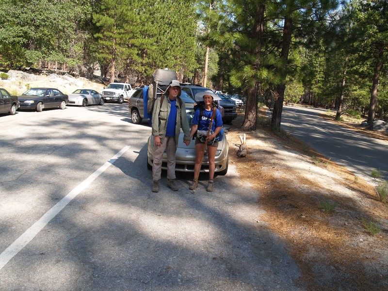
We parked the car at the trailhead for the Copper Creek Trail, and finished packing. Any extra food from the car went in the bear box. We took a deep breath, shouldered our packs, and began hiking. We had some serious switchbacks ahead of us, on a 2500 foot climb to Lower Tent Meadow.

Trailhead sign on the Copper Creek Trail out of Roads End, Kings Canyon National Park
Looking east from the Copper Creek Trail toward Bubbs Creek and The Sphinx
Getting near Lower Tent Meadow on the Copper Creek Trail.
Copper Creek where it crosses the trail at the Lower Tent Meadow campsite.

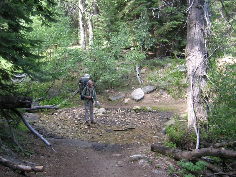
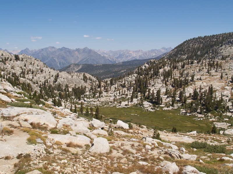
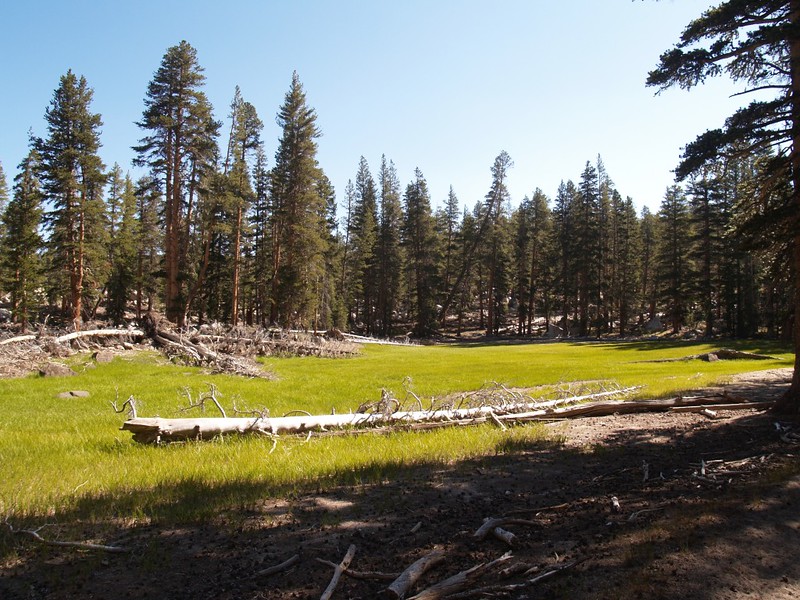
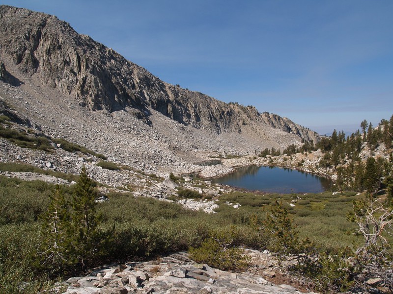
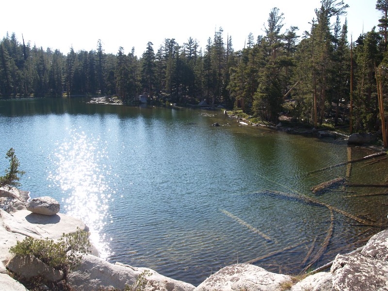
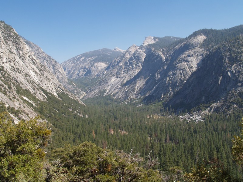
We Stayed the first night at Lower Tent Meadow, then hiked up into Granite Basin the second night. This was yet another 2500 feet of climbing! It takes a lot of work to get into the high country when you start at 5000 feet elevation. We climbed up through the high sloping area known as Upper Tent Meadow, until we finally made it into some cool, shady forest.  We ate lunch and Vicki took a nap. Then we climbed some more.  Lots more. Eventually we crested and dropped down into beautiful Granite Basin. Vicki was utterly exhausted by this point, so we found a spot to camp, set up the tent, and she crawled inside and crashed. I still had energy so I hiked down to a small lake and filtered some water. It was very peaceful there. By the time I got back Vicki was feeling better. We ate some dinner and watched the sunset.

Me, hiking in Upper Tent Meadow.
The upper reaches of Upper Tent Meadow.
Switchbacks on the Copper Creek Trail, hiking through some beautiful pine forest.
Looking east toward the Sierra Crest, as we near the top of the Copper Creek Trail
Panorama shot of lower Granite Basin, with Mount Hutchings on the left.
Small lake in Granite Basin where I pumped water.
Sunset in Granite Basin.

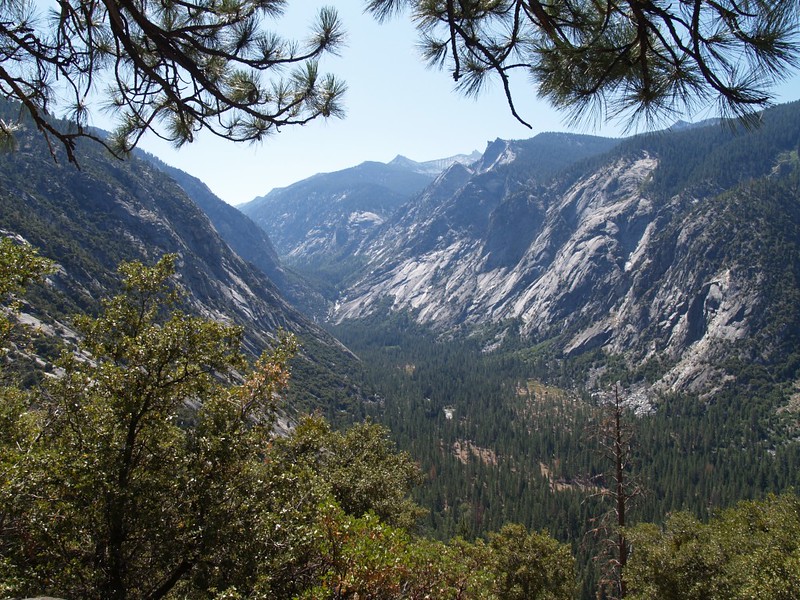
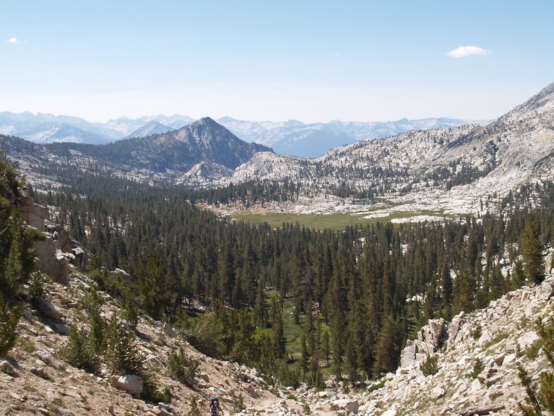
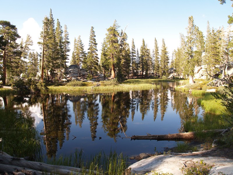
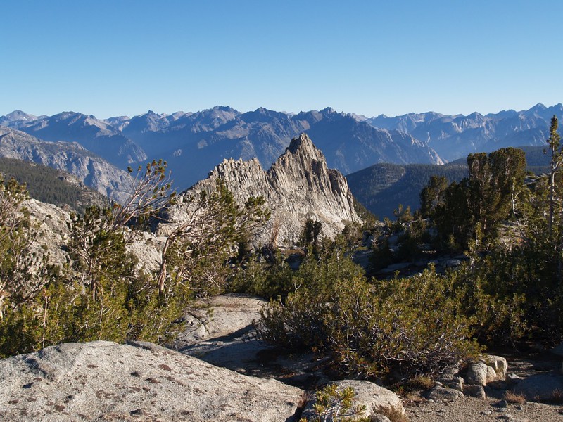
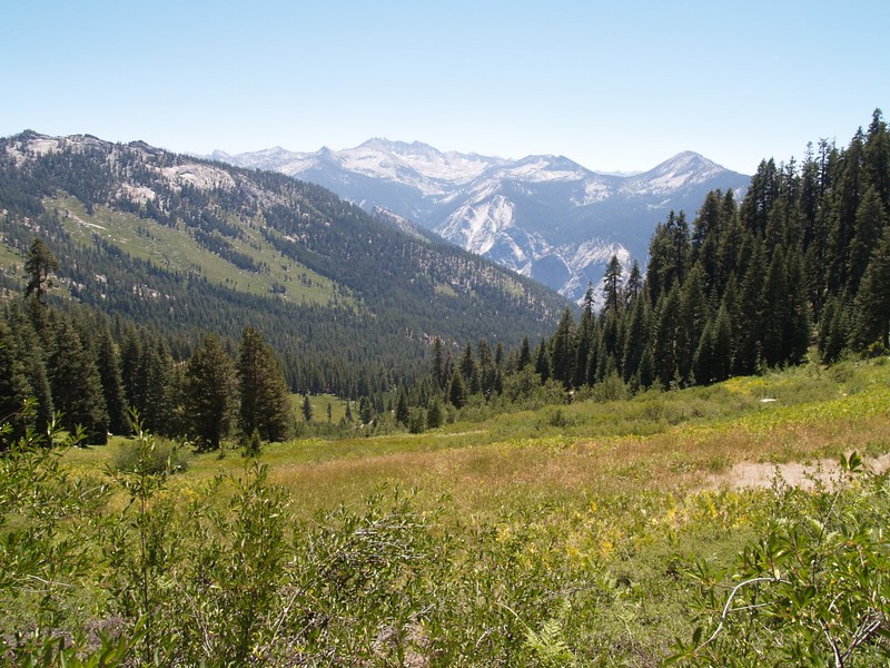
On the third day we traversed Granite Basin. We hiked up and over Granite Pass (elev 10670 feet) where we enjoyed the views of the Sierra high country including the Black Divide. We headed downhill along the Middle Fork of Dougherty Creek and passed many idyllic meadows. We ate lunch and continued onward until we were getting tired. I noticed on the map that there was an un-named lake just to the north of Peak 10782 on the Kennedy Meadow Trail. We camped there for the night. We called it “Private Lake” because we had it all to ourselves. Unlike most High Sierra lakes, it was warm enough to swim in. Well, it was warm enough for Vicki to swim in. I just gave myself a splash-bath.

The largest meadow in Granite Basin. Granite Pass is on the right.
Looking south into Granite Basin while climbing the trail up the steep switchbacks to Granite Pass.
Meadows on the Middle Fork of Dougherty Creek, as we descend North from Granite Pass.
A happy Vicki and a lovely meadow on the Middle Fork of Dougherty Creek. We had lunch here.
Marshy meadow on the Middle Fork of Dougherty Creek, on the Simpson Meadow Trail.
Vicki skinnydipping in "Private Lake", with Peak 10782 in the background.
Vicki skinnydipping in “Private Lake”, with Peak 10782 in the background.
Timer shot of the two of us, with "Private Lake" in the background.
Timer shot of the two of us, with “Private Lake” in the background.

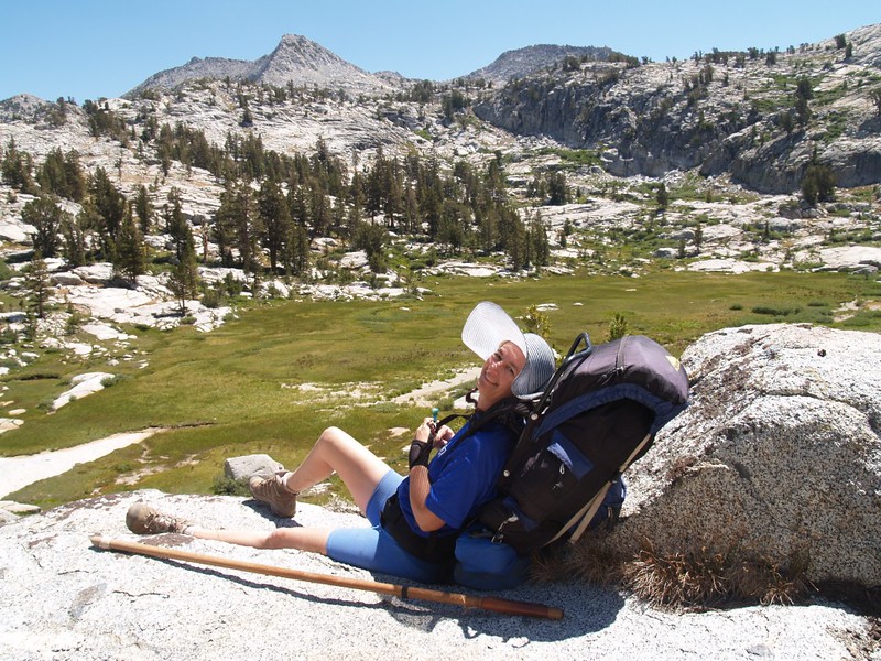
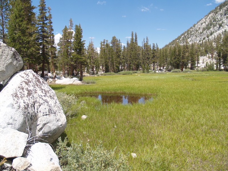
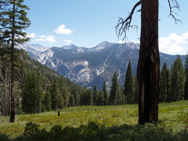
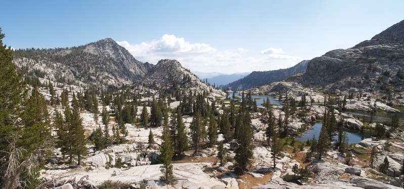
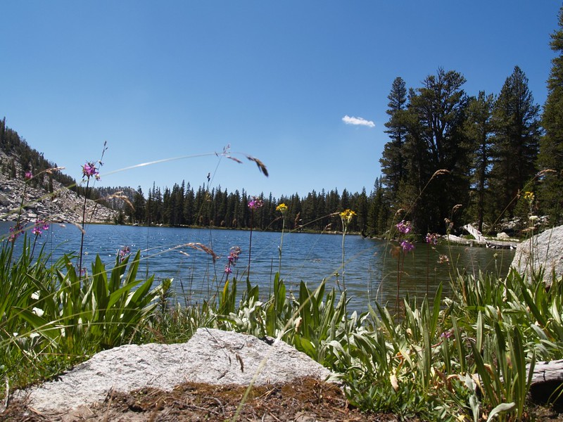
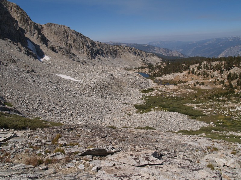
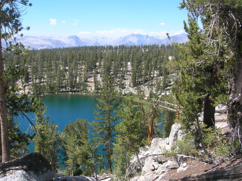
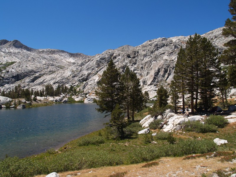
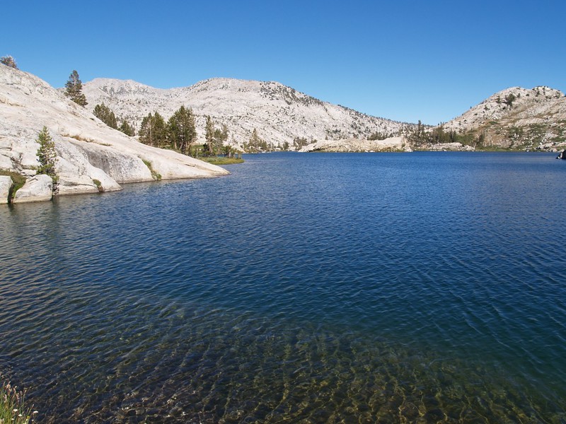
The next day we hiked onward past Glacier Valley to Upper State Lake, where we decided to stay two nights. We hiked past Dougherty Meadow and ate lunch at the creek crossing in Glacier Valley. Then it was uphill to lower State Lake (Lake 10250) where we enjoyed the views. We still had some energy left, so we hiked onward and upward to Upper State Lake (elevation 10500 feet, or so). We put down our big packs and wandered around the west shoreline until we found a really nice spot under some huge cedars. This would be our base camp for the following day’s hike.

Vicki crossing the Middle Fork of Dougherty Creek, on the Simpson Meadow Trail.
Dougherty Meadow, on the State Lakes Trail
Lower State Lake (Lake 10250)
The view from our campsite at Upper State Lake.
The view of State Peak from Upper State Lake

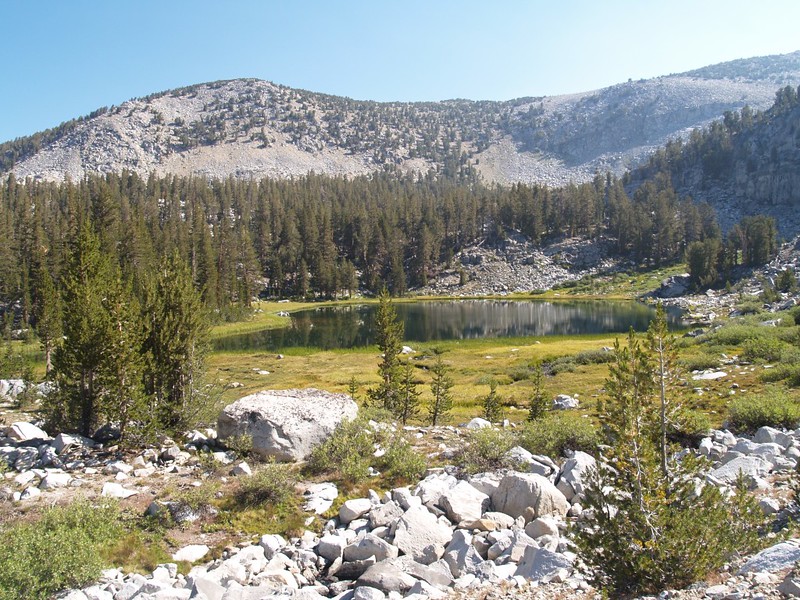
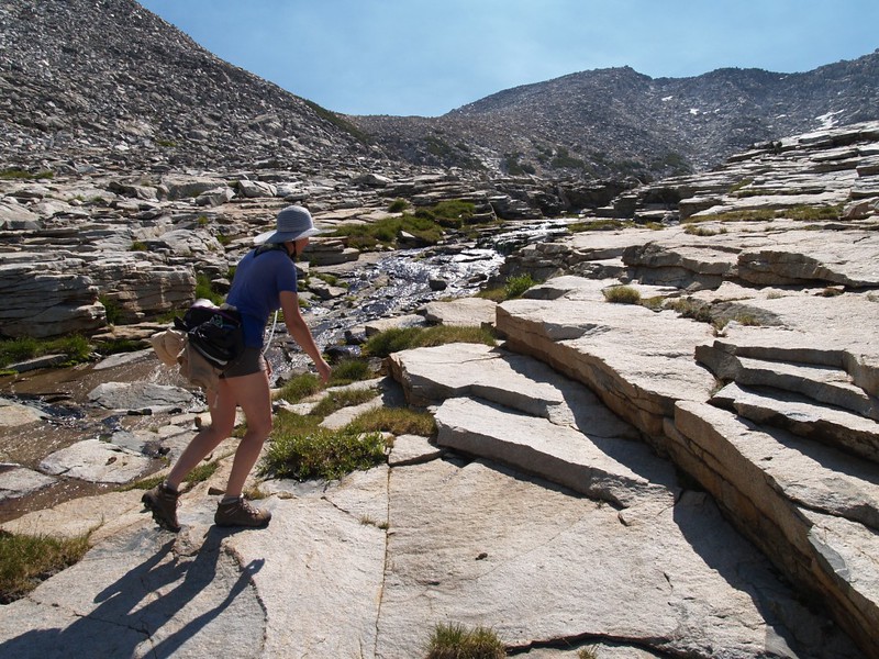
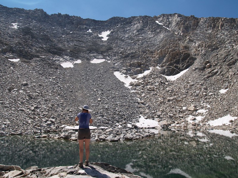
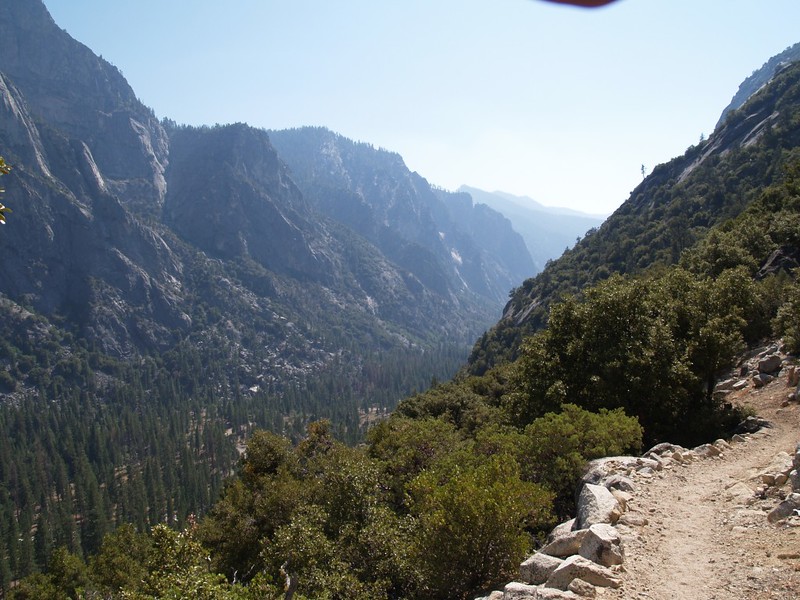
The fifth day was our lay-over day, and it was a pleasure to leave the tent set up, enjoying a morning without the usual rush to pack everything.  Our plan was to day-hike to the Horseshoe Lakes.  We climbed up Horseshoe Creek, passing several beautiful lakes on the way, until we reached the tiniest topmost tarn above the Horseshoe Creek watershed, at 11,450 feet elevation. The view over the Black Divide was fantastic. This was our first experience in Sierra Cross-Country Hiking (trail-less hiking) and we really enjoyed it.  After checking out the largest Horseshoe lake on the way down, we hiked back to Upper State Lake and slept the good sleep.

Panorama of the lowest lake in the southern group (a chain following Horseshoe Creek) of the Horseshoe Lakes. There were trout in this lake.
One of the Horseshoe Lakes. We could hear the creek flowing underneath this pile of boulders as we followed the watercourse higher.
One of several small Horseshoe Lakes, as we climbed Horseshoe Creek. The small valley, right-of-center, is our eventual destination. Windy Ridge is seen above the lake.
Looking back at the chain of small Horseshoe Lakes.
Looking back down Horseshoe Creek. The topo map shows much larger patches of perennial snow along the north-facing slopes on the left.
Vicki climbing glaciated slabs next to Horseshoe Creek.
The highest of the Horseshoe Lakes, elevation 11,500 feet.
We descended to yet another, larger Horseshoe Lake (Lake 10515)
Lake 10515 in the Horseshoe Lakes basin, looking east toward the high tarn and Windy Ridge.

The next morning we packed up with heavier hearts, as we knew that we were heading back. We didn’t have much choice but to reverse our route, yet we still managed to find some new things to see along the way. For starters, we took the other trail out of Upper State Lake, which had some nice views, and Vicki also found a non-published viewpoint for Lake of the Fallen Moon. We liked Private Lake so much that we were happy to go back there, even though it was slightly out of the way of the main trail. We climbed up above the lake after dinner and were treated to some fine views east to the Sierra Crest and the Palisades. A great way to end the day.

Heading back now, we hiked along the high trail from Upper State lake. This is the view south, looking up Glacier Valley.
Lake of the Fallen Moon

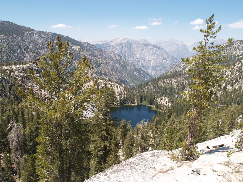
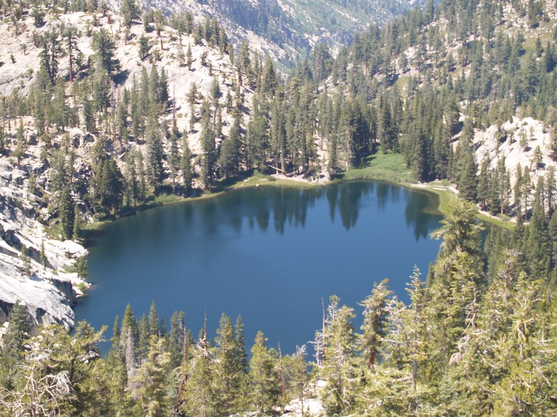
Vicki wanted to see this lake in the worst way, but there were no views along the main trail. Suddenly, she dropped her big pack, and insisted that we go off-trail to try to get one. So we did. I thought that it was yet another fruitless quest, but no! The view was exceptional, from a rocky cliff high above the lake. If you camped down there, the chances of a visit from another person would be nearly zero.

Telephoto shot of the Lake of the Fallen Moon.
From the eastern shore of "Private Lake." Our campsite was on the right.
From the eastern shore of “Private Lake.” Our campsite was on the right.
Zoomed-in view of what I believe is the Palisade Crest, far to the northeast of us.
Reflections from the higher pool above Private Lake.

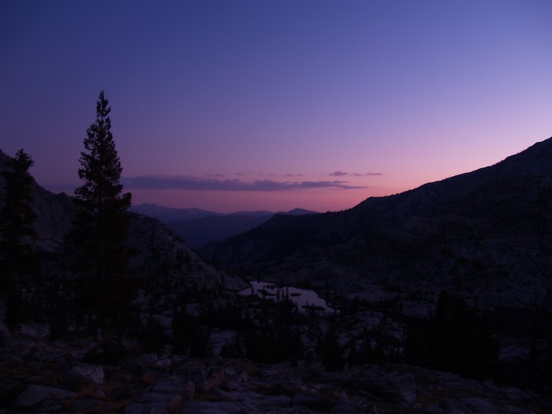
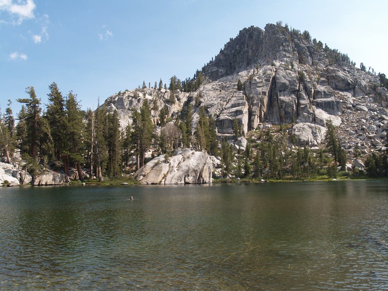
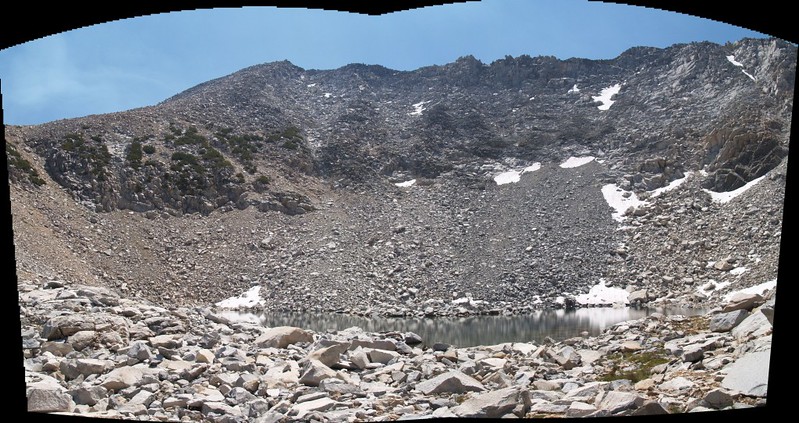
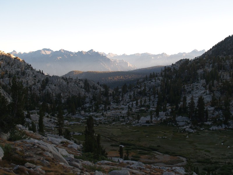
We left Private Lake at three AM to avoid the heat on the trail up to Granite Pass. It was cold and frosty that morning in the Dougherty Creek valley. The sun rose as we crested the pass, at which point we dropped our big packs and traversed west in order to discover a glorious view of the Volcanic Lakes Basin. Then we descended Granite Pass and camped at Granite Lake. We had the place to ourselves all day. It was breezy but warm in the sun.

Waking up in the dark so that we could climb up to Granite Pass while it was still cool. Little did we know that the weather had changed and it was downright cold! But at least we didn't overheat...
Waking up in the dark so that we could climb up to Granite Pass while it was still cool. Little did we know that the weather had changed and it was downright cold! But at least we didn’t overheat…
Dawn on the Simpson Meadows Trail, climbing up the Middle Fork of Dougherty Creek toward Granite Pass. There was frost on the meadow that morning. Cold!
Dawn arrives just as we were nearing the top of Granite Pass. It felt good after the long, cold hike in the dark.
The view from just west of Granite Pass, back toward Peak 10782 and the Black Divide. Private Lake, where we began hiking that morning, is on the opposite side of the peak.
A view of the lower (northern) end of the Volcanic Lakes Basin.
Granite Lake. Our tent can be seen under the trees on the right.
View from the northwest cove on Granite Lake. Our campsite was near those trees on the left. We could see trout swimming in the cold clear water below us.

Video of the wind on Granite Lake

The view from inside our tent at Granite Lake. Nice! We were the only people camping there.

The next morning there was more frost, and we didn’t really want to get out of the tent. It was so warm under the goose down. But we got up anyway, and then we hiked the entire eleven mile distance to Roads End in one shot. After all the lonely beauty of the high country, we couldn’t bear to stay at crowded Lower Tent Meadow another night. But maybe we should have stopped. Our feet were beat by the time we got to the car – a five thousand foot descent is not easy on the body. But we made it!

Dawn on Granite Lake.
A final view of Granite Basin.
Heading downhill through the big pines on the Copper Creek Trail
Tent meadow, as we hike downhill on the Copper Creek Trail
View west down the Kings Canyon on the final set of switchbacks on the Copper Creek Trail
View east up the Kings Canyon on the final set of switchbacks on the Copper Creek Trail
Back at the car. The hike was over, after a long, 11-mile downhill slog. Our feet were hot and our clothes were dirty, but we were back in civilization.
The line for the showers was hours-long, so we decided that eating ice cream was the best idea of all. Then it was time to head back home...
The line for the showers was hours-long, so we decided that eating ice cream was the best idea of all. Then it was time to head back home…

When we got to the valley we were inundated with tourists. There were humans everywhere! After seeing a total of 21 people in the past seven days (and we only saw THEM for a minute or two before hiking onward), the crowds were just too much. We grabbed an ice cream at the store and in our rush to leave I admit we forgot to pay our entry fee.  Sorry, SEKI!  Maybe next time.  After that we drove home in one long blast. And it sure was good to be home again. A warm shower and a comfy bed were true luxuries. But now it was time to begin thinking about next year’s summer backpacking adventure…

Delorme Topographic Map of our hike

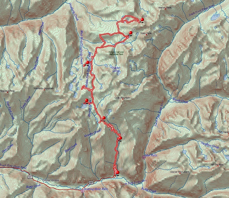
Interactive Caltopo Map of our hike

The rest of my photos can be found on my Flickr Page

4 thoughts on “Kings Canyon 2009

  1. What a sweet story. I’ve been all over Kings Canyon for 30 years and headed there this Summer again.
    There is a cross country route from Horseshoe Lakes to Lake Basin to the John Muir trail probably worthwhile exploring.

    Like

  2. Hey, great trip photos. Thanks for taking the time and work to produce it. Your lucky to have a wife who enjoys hiking with you. And thanks for the link to the map. I am planning to take a similar trip with the Sierra Club.

    Like

  3. Great website, my friend Doug and myself took very similar route from cedar grove to lake of the fallen moon in August of 1978.Took same amount as you two and we where both 19 year old young strong guys, you and your wife did well to complete such a strenuous trip so quickly. I didn’t take as many photos as you (19 year olds don’t think as far ahead ) one strong memory of lake of the fallen moon. When we arrived on that day, Around 3-4 pm,was very hot and tired,decided to take swim in lake. I only swam out 20-30 yards when my strength evaporated and I felt like I was drowning.I barley found the strength to make it back to shore,was very scary. I think it was combination of ice cold water, high altitude and fatigue that drained me so quickly.Other then that ,was fantastic trip.So glad I found your site as I didn’t keep detailed records in those days.

    Like

Leave a Reply

Fill in your details below or click an icon to log in:

WordPress.com Logo

You are commenting using your WordPress.com account. Log Out /  Change )

Facebook photo

You are commenting using your Facebook account. Log Out /  Change )

Connecting to %s

This site uses Akismet to reduce spam. Learn how your comment data is processed.