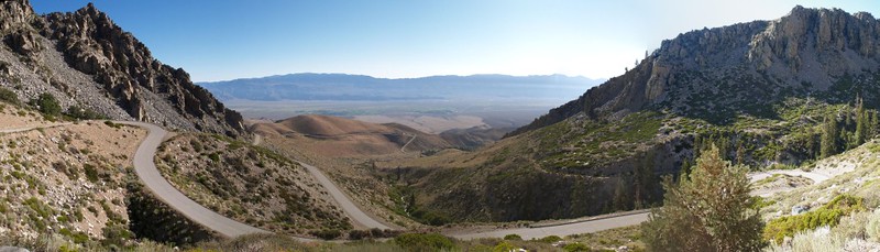
After a week spent backpacking in Dusy Basin, followed by an excellent day-hike to the top of White Mountain Peak, it was getting near time for us to head back home. Vacations don’t last forever. Sad, but true. Still, we knew that it would be an unbearably hot drive down route 395, crossing the Mojave Desert on a sunny August day in a car with no air conditioning, so we opted to spend the day at a higher elevation, where it was much cooler (more beautiful, too!), and drive home in the dark of night. We decided to hike from the Onion Valley Trailhead, as we’d been there years before in a car, but hadn’t done any actual hiking. It was time to rectify that omission.
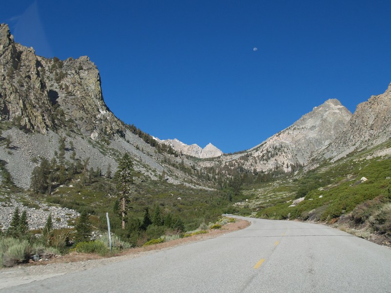
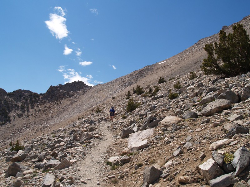
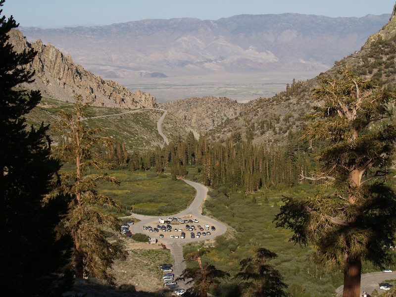
The Kearsarge Pass Trail begins at the Onion Valley Campground parking lot at 9200 feet elevation, then climbs past many beautiful lakes for about 4.5 miles until it reaches Kearsarge Pass at elevation 11,760 feet elevation. A good solid day’s hiking, in other words. At least for us normal humans.
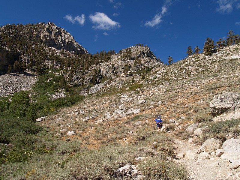

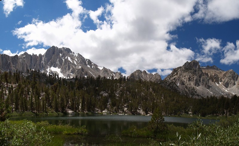
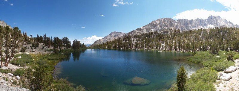
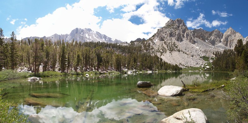
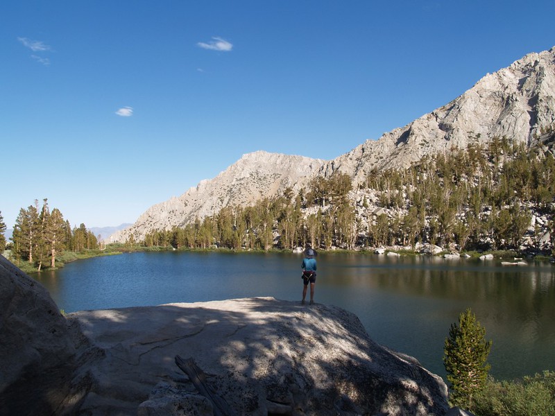
We hiked past a number of lakes: Little Pothole Lake, Gilbert Lake, Flower Lake, Heart Lake (shaped like a heart, not surprisingly), and Big Pothole Lake. Along the way there were gushing streams, lovely wildflowers, towering pines, patches of snow, and incredible views.
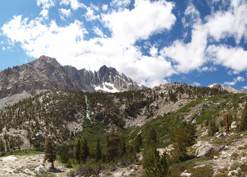
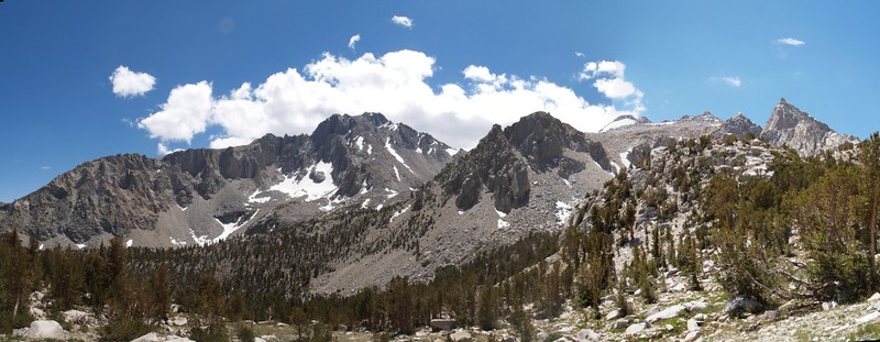

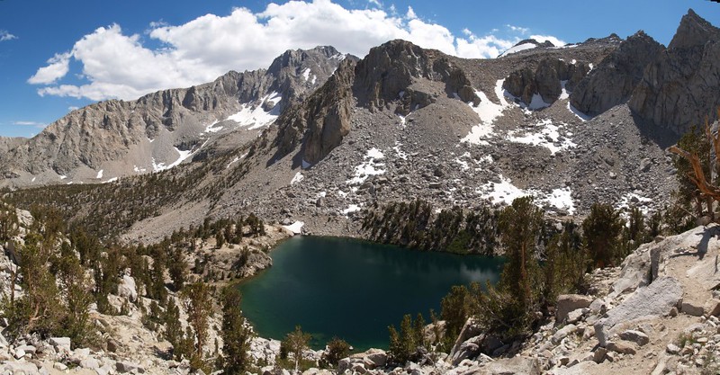
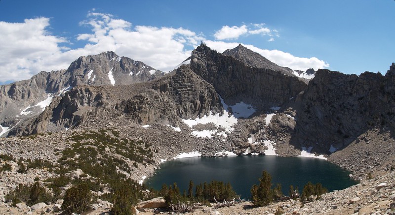
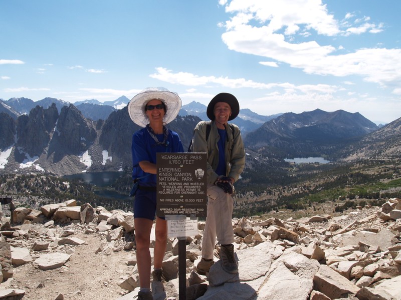
Kearsarge Pass itself was an amazing spot, well worth the long hike to get there. We were treated to views ranging far off into Kings Canyon National Park, while just below us was a basin where the Kearsarge Lakes sparkled in the afternoon sun. The ridge above us lead directly to Mount Gould, elevation 13,005 feet, but it was too late in the afternoon to climb it.
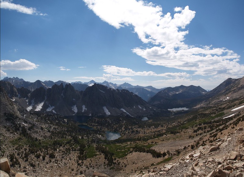
Panorama video from Kearsarge Pass
We hung around on the pass and ate some snack, then headed back downhill to the car. The hike down was uneventful and faster than we expected. By the time we got to the car, the sun’s shadow had just barely enveloped it.
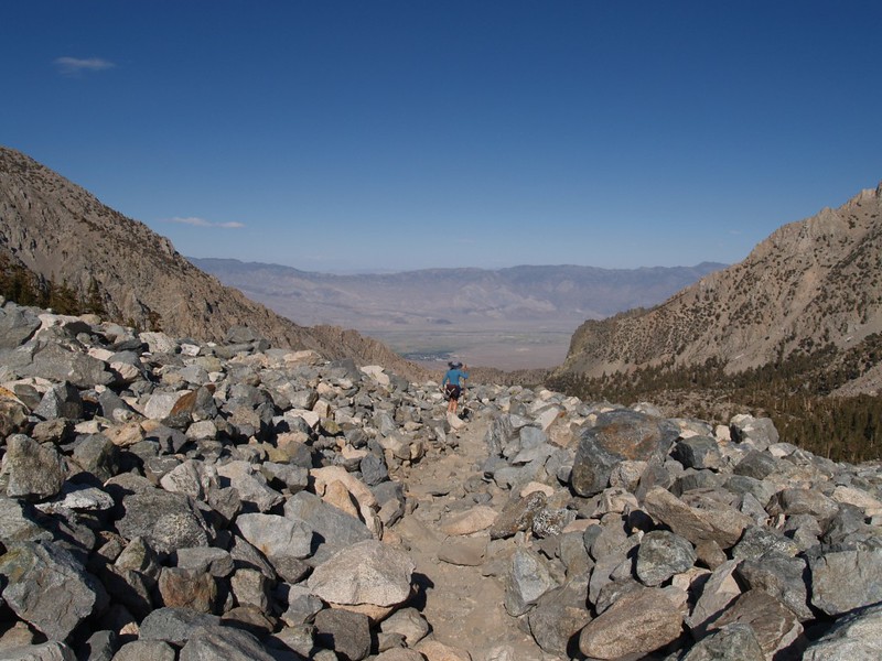
It was still sunny and hot down below in the Owens Valley, and we had some time to kill. We decided not to eat yet another freeze-dried meal (we’d been eating them for the past week) and to treat ourselves to a real dinner. We drove down below to the hot valley. Vicki had a craving for Chinese Food, but there were no obvious places in the town of Independence, so we drove further down route 395 to Lone Pine. We drove up and down the main drag of Lone Pine and didn’t find a Chinese place anywhere, so we finally ended up eating at a fast food joint. Oh well. But it beat boiled water and soggy noodles just the same. And then, as darkness fell, we resigned ourselves to the long drive home. It had been an excellent week in the Sierra Nevada.
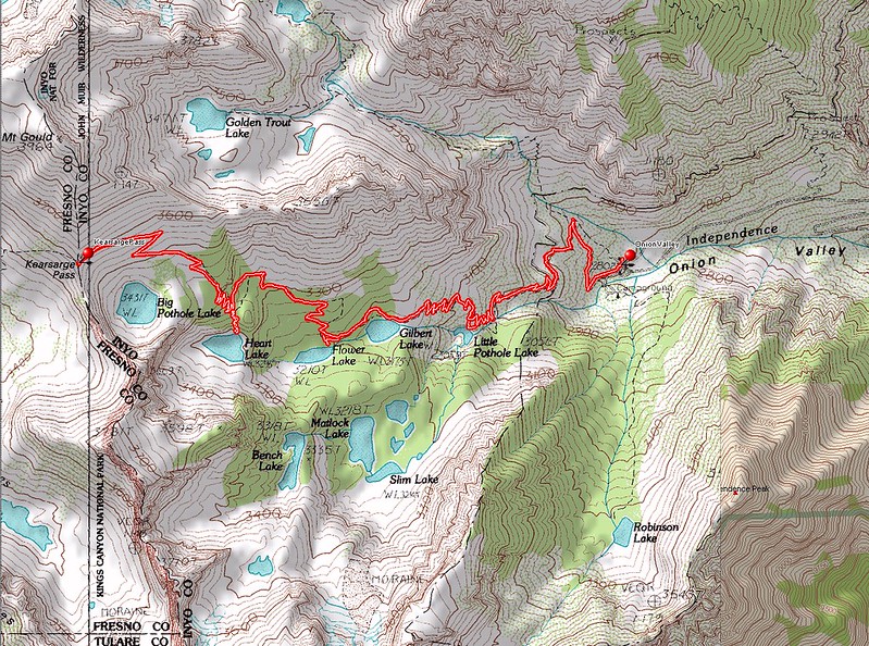
You can view the full-size, readable topo map here
Interactive topographic map on this CalTopo Page
The rest of the hike’s photos can be found on my Flickr Album Page
