Summary Day 1: Left San Diego at 4:30am and caught the first tram Saturday morning. Hiked up the Sid Davis Drainage to our campsite (Andesite) in Tamarack Valley. Laid around reading all afternoon.
Our primary goal for this hike was to spend as much time as possible up at high elevation in order to prepare Vicki’s blood for the lower oxygen levels found in the High Sierra. In a week or so we would be hiking over a 12,000 foot pass, and she knew that her body wasn’t going to be up for it without a bit of preparation. The nearest and easiest place for us to acquire acclimatization in Southern California was in the San Jacinto Wilderness, where we could catch a ride on the Palm Springs Tram. We would start our hike at 8500 feet, getting up there the the lazy way.
And that’s what we did. We woke up in the wee hours of a Saturday morning and drove three hours to the lower tram station. We arrived extra early, but that was OK because it was midsummer in the desert. Hot! We grabbed our packs and headed for the air conditioned station. We bought our tickets, waited a while. and took the first tram up at 8am. When we arrived at the top the air was cool and fresh, smelling of pine trees. Ahhh! This was great!

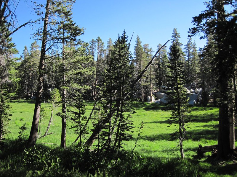
We already knew from last year’s hike that we wanted to camp as far as possible from the summer-weekend crowds in the Round Valley and Tamarack Valley Campgrounds, so we hiked directly up the non-official Sid Davis Trail. It was the shortest (but steepest) route to the far side of Tamarack Valley. It was also the least crowded, and we began feeling peaceful and relaxed almost immediately. Well, when we weren’t sweating profusely and breathing gaspingly, that is. But we weren’t in a rush, so we took plenty of small rests along the way.
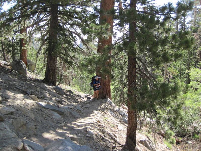
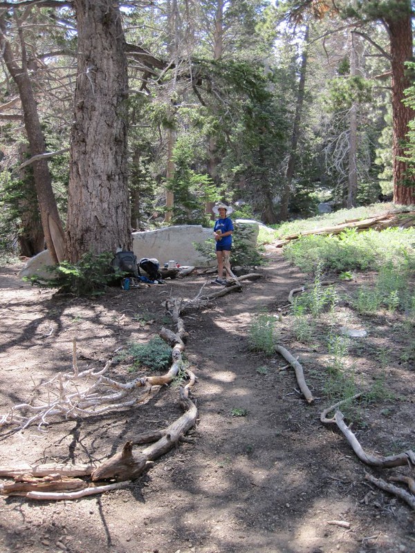
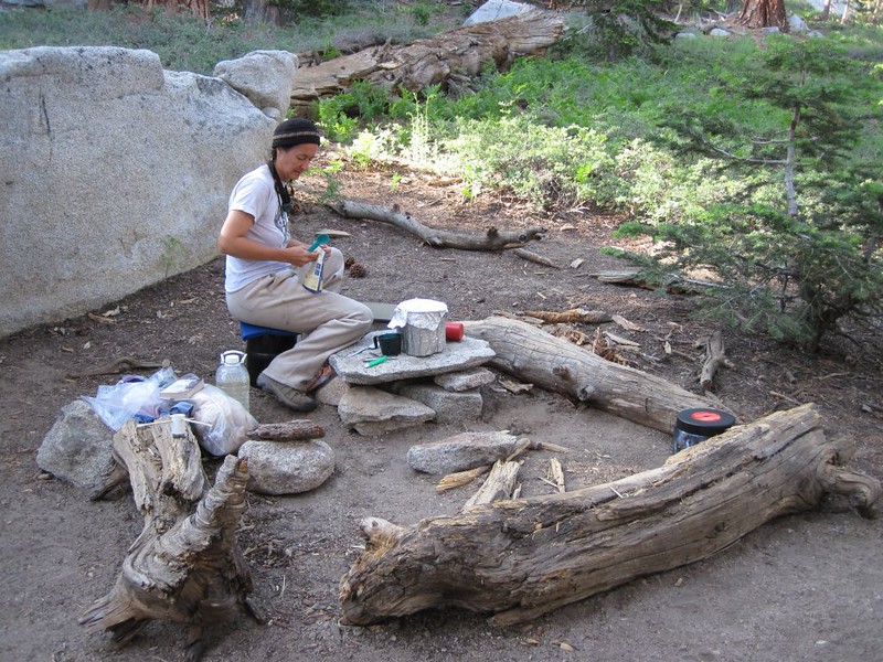
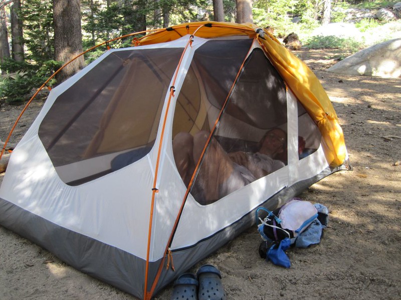
The trail ended vaguely in one of the southeastern Tamarack Valley campsites, but nobody was around, so we hiked on through. We continued uphill past the trail junction to the second-to-last campsite, which was called “Andesite.” It had a big granite boulder which provided a bit of protection from the wind and also had some big logs for sitting on, placed conveniently next to a flat stone, perfect for our backpacking stove.
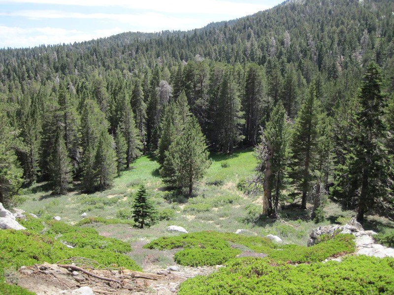
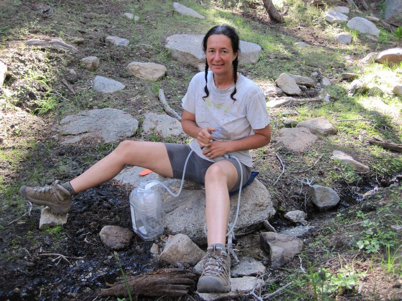
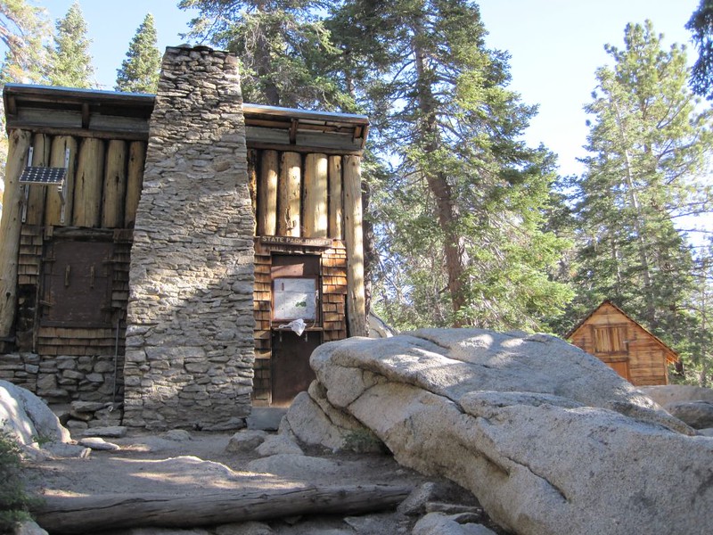
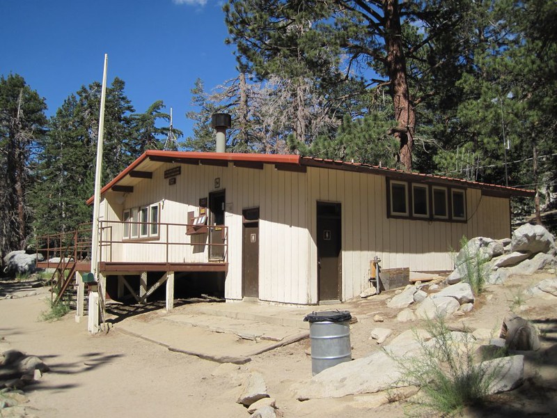
We set up the tent right away, then grabbed a day pack, our water filter, and our empty bottles. We hiked west toward Round Valley. The most important thing we had to do was officially claim our campsite by writing our name on the campground map at the tiny Ranger Cabin in Round Valley. Then we headed down to the spring and the meadow. We filtered water and checked out the flowers in the meadow. The main trail to San Jacinto Peak passed right by the spring, so there were hordes of people hiking and yakking everywhere. Everyone we spoke to was friendly and happy, of course, so it wasn’t bad at all, really, but just the same, this was why we chose our campsite in the least accessible part of the campground. Sometimes, putting in a bit of extra effort really pays off!
As we hiked back to camp, the uphill section caused plenty of extra breathing and rests on Vicki’s part. She certainly wasn’t acclimated yet. So we decided to do the only sensible thing: We retired to the tent and took a nap. And woke up to read our books. We explored around the camp a bit. We read our books some more. Oh, yes, this acclimatization business was a lot of work!
We ate our dinner early and fell asleep before it was fully dark, but we didn’t care. We had woken so early that morning that we were more than ready to conk out. Even with all the naps we’d taken.
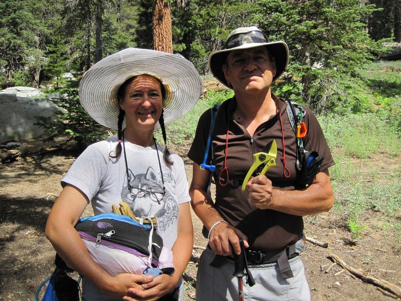
Summary Day 2: Met Florian, and Vicki showed him the famous Florian Pruners. He hiked onward and then Vicki and I climbed Cornell Peak, which was right next to our campsite. Then we laid around reading all afternoon.
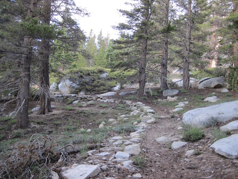
We slept in. We were in no rush, and it was cool outside. But once the sun struck the tent it began to get warm, and we got moving. We had coffee and breakfast, then wandered around camp. Vicki decided to do a bit of trail maintenance, by placing fallen logs along the main trail through the campground. Yesterday several people had wandered directly through our campsite, a known faux pas, campground etiquette-wise, However, we forgave the trespassers as the trail was very ambiguous. There was only one campsite further up the trail, so there was very little foot traffic around here, and it was hard to tell which way to go. Vicki made it much more obvious. And she had fun doing it.
But this didn’t take very long, and mainly we simply relaxed and got acclimated. Also, we were waiting to meet someone from the local San Jacinto Internet Forum, a man named Florian. Now, the reason we invited him was not only because he seemed like a nice guy online, but also because Vicki had with her a pair of Florian Pruners that I had written about on the forum. Inviting him to our camp to say hello was mostly to give him an excuse to hike to the summit. It was also the first time I’d ever attempted to meet with a “stranger on the internet” so I thought it was worth giving it a shot. And it was! He turned out to be a truly nice man, polite and well-spoken. We didn’t hang out together very long, but he did check out the pruners. And then he hiked onward. Yes, it’s true: We met a semi-unknown person, all alone, out in the wilderness, and survived to tell the tale. One thing was certain: He was much less scary than a bear.
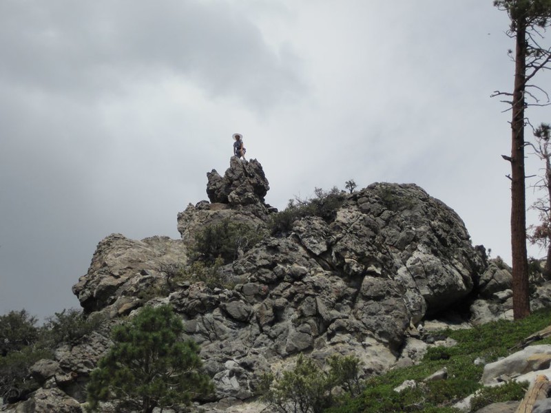
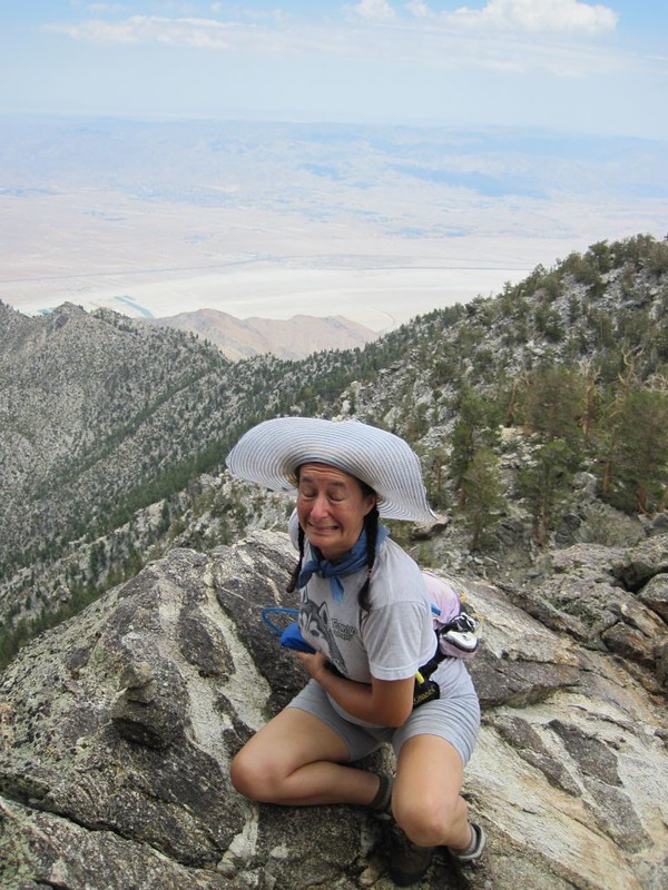
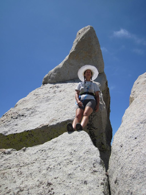
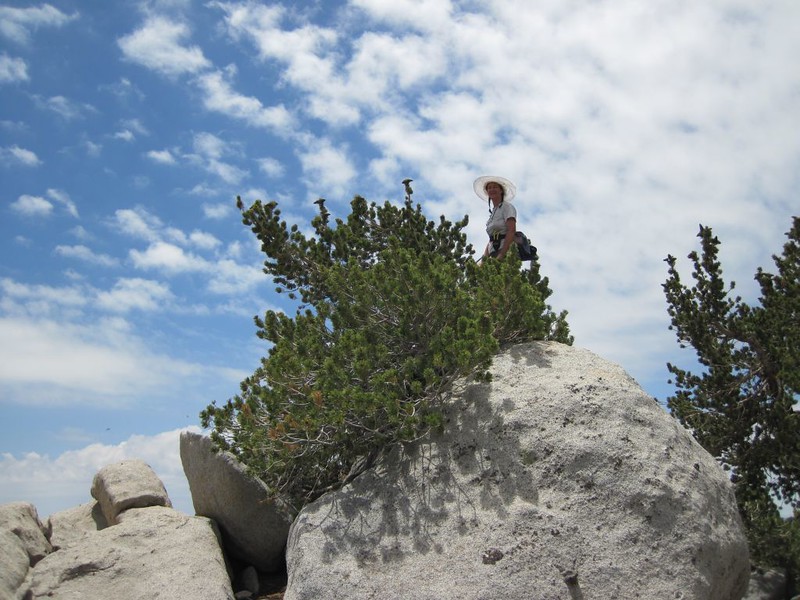
After that, it was time to bag a peak. We packed a day pack with some snacks and water and headed uphill, directly from our campsite. We could see Cornell Peak from there, so it was pretty obvious which way to go. It was about 700 feet of climbing packed into less than a half mile, so it was pretty steep. There was no trail, but it it wasn’t hard to find a route, and we saw lots of interesting rocks and trees along the way. Luckily, I had read online about this peak, so I knew that you had to stay to the right, then work your way around it to the summit block. And that was pretty much how it went, except that the “way around it” entailed going around to the north side, following some extremely dubious stone “ducks” that purportly showed the correct path. And let me tell you right now: It was seriously scary over there! Fourth Class climbing. It wasn’t particularly difficult, but the exposure was significant. One false step and you were dead. Vicki was a bit nervous, but she made it past the steep section, crouching low and holding on to anything within reach for dear life. We were both quite relieved when we climbed back over to a comfy alcove on the south side. That was where we found the summit register.
After that, it was time to truly “bag” the peak, by climbing to the top of the summit block. I climbed up a crack and got within ten feet of the top, but I decided to stop. Vicki insisted I stop, in fact. Now, if that block had been set down in our campsite I would have walked right up to the top of it with no problems, stood on top, and thumbed my nose at the world. But up there, with certain death down below on every side, that block was fearsome! Still, it irks me that I didn’t climb it. Maybe I have too many responsibilities and loved ones to worry about. I would have done it back in my youth. Oh, I would have been careful, all right. Full concentration on the problem at hand. And I would have been fine. Maybe that’s what irks me: That I’ve become a cautious old fart. Oh well. Maybe some day I’ll try it again. The mountain will still be there, as they say.

Cornell Peak Register and Final Crack Climb Video

Video panorama from just below the summit of Cornell Peak

When we got back it was still fairly early in the afternoon, so we took a short nap. I spent a couple of hours reading in comfort on the air mattress inside the tent while Vicki continued on her project to fix the trail. Eventually she was satisfied, and called me outside to inspect it. I declared that it was a job well done. Then we ate dinner. We still had plenty of water, so we didn’t bother going to the spring, and thus avoided seeing people pretty much all day. Only a few hardy souls had come through camp that day, and most of them had also climbed Cornell Peak. Eventually, as it headed toward dusk, we were left alone in the wilderness once more, and we retired to the tent and our cozy sleeping bag as the air cooled off.
I asked Vicki if she felt acclimated yet, but she wasn’t sure. She said she’d have to sleep on it. And she did.
Summary Day 3: Hiked up the overgrown Tamarack Trail, climbed Miller Peak, then went up to the trail junction near San Jacinto Peak. We didn’t climb SJ, but instead went off-trail to Jean Peak, via the Jean Peak Saddle. We descended from Jean directly downhill from the saddle. We hiked down to Wellman Divide, then down the main trail to Round Valley and back to camp. Then we laid around reading all afternoon.
This third day was planned to be much more vigorous. We figured that at least some acclimatization had occurred by now, so our goals were set higher. We planned to bag two or three 10,000-foot peaks today!
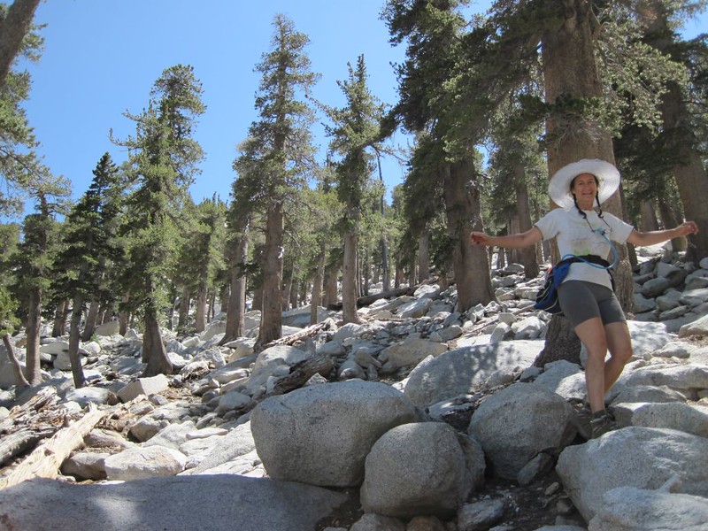
We woke at the crack of dawn, ate a quick breakfast, and were on the trail by 6:30 am, although technically it wasn’t a “trail” at all. Our first goal for the day was to find and hike the original Tamarack Trail, the one that was on the old topographic maps, the one that no longer appeared on the official maps. We had heard that it still existed, but that it hadn’t gotten any maintenance in years. We had looked for it in the past, but both ends had been obscured on purpose by the rangers to keep people from using it. This condescending attitude of theirs offended our sensibilities, for some reason. We felt that our choices in life had been “dumbed down” by the Powers That Be, and we don’t like being treated that way. We would find this trail and hike it in spite of all their efforts to thwart us.
Luckily, the original trail was present on the map I’d loaded into my new GPS, so all we had to do was walk over to it by comparing locations on the map. Easy as pie. And it began not far from our campsite.
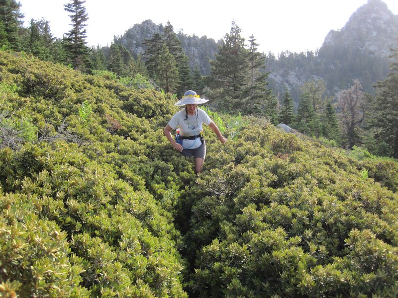

We hiked along the western edge of the sensitive Tamarack Meadow and saw the old trail without the need of the GPS. It was obviously a well-built trail, and was in decent shape for the most part. Only when it zig-zagged across brush-filled hillsides did the plants grow thick enough to impede our progress. Just the same, we powered on through. Vicki yearned to stop and prune it all back with her little Florians, but she realized that this was a really huge job, a multi-day undertaking, worthy of gas-powered chainsaws. Also, we probably weren’t supposed to cut any plants at all in the park, regardless of the fact that a trail crew should have tackled this sad state of affairs long ago. Letting a perfectly good trail go to ruin just didn’t make sense to us.
Eventually, the trail entered a forested area and we began to hear voices. The main trail was nearby. I checked on the GPS and discovered that not only was the trail close, but that the Tamarack Trail on the GPS map almost exactly matched the track that we’d hiked! Those old map makers were pretty good, as they got it perfect without using a GPS. Impressive!
We joined up with the main trail and continued hiking uphill in the sun. There weren’t many people as it was now Monday (when the tram starts at 10 am), so the few folks that we met were from the campground down below. In other words, it was peaceful on the mountain.
We neared Miller Peak and took a short hike off-trail to bag it. It was really just a quick scramble, but it still counted as bagging a peak, and that’s what matters. Fine views from up there.
Panorama video from the Miller Peak Summit

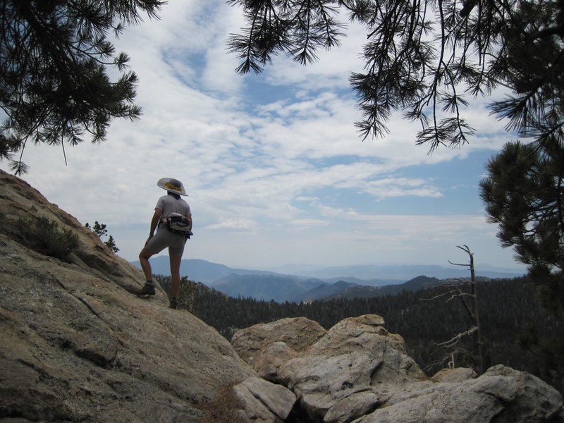
After that, we took a snack break, then continued onward to the trail junction just below San Jacinto Peak. It was a long climb in the sun. Vicki decided that the last two nights had helped significantly, as she wasn’t breathing anywhere near as hard as she expected, yet she wasn’t totally energetic. In fact, she decided that she had no interest in bagging the San Jacinto Peak summit. We had been there many times, after all, so it wasn’t that thrilling. Instead, we decided to start our cross-country journey to Jean Peak, a place we’d never been before.
I took a bearing with the GPS just for fun, but in reality it was pretty easy: Just follow the ridge. First it would descend to the saddle, then it would climb up to the summit. It sounds easy, and it turned out to be a lot of fun, but it wasn’t a stroll. We had to scramble and do a bit of route finding, as there were many monstrous granite boulders directly on the ridgeline. There were times when we had to downclimb a bit to get around the obstructions. But eventually we made it to the summit. Two peaks bagged!

The view from the summit was pretty good, but not as good as San Jacinto Peak because there were too many trees. Still, we were glad we came. We had the peak all to ourselves, alone in the wilderness. We found a lookout point on a granite boulder and stopped there to eat lunch in the sun. We gazed out at the world and relaxed. Vicki was getting extra acclimatization just sitting up here at this elevation. In fact, she was feeling pretty good. In a week or so we’d be up in Yosemite spending several nights even higher than this, so our confidence level rose considerably.
After that, it was time to head back to the campsite. We were feeling pretty cocky about our off-trail skills these days, so we decided to head directly from the peak toward the trail down below, cutting off more than a mile of hiking. Vicki was a bit worried that it might be too steep for her knees, but we chose a mellow route and took our time descending, so all went well.
After regaining the main trail, we decided to stay on it all the way to Wellman Divide, which we knew had a superior view out over the Tahquitz Valley, rather than bushwhacking through the brush on the old Tamarack Trail. Once was enough in one day, thank you. After a very short break at the divide, we continued down to Round Valley. There were still people camping there, but far fewer than there were on Saturday night. We checked out the spring but we hadn’t carried all of our water filtering gear.
Video of clouds growing up above us

Video of Round Valley Spring
We hiked back to camp. There was still plenty of daylight left, so we took yet another nap, then hung out both inside and outside the tent reading our books. We smelled the piney air and listened to the local birds flying here and there. When it was nearing time for dinner we were saddened at the thought of hiking all the way back to the spring for water. Vicki wondered whether we needed to go there at all, as there was still a tiny trickle coming down the valley, seeping from the meadow up above us. It was small but steady, and it appeared to be clean and clear. We decided to be lazy and filter our water here. In Southern California, having water anywhere near your campsite is a luxury, and we luxuriated in it. Not surprisingly, it tasted fine, and our tired feet thanked us for it.
We didn’t do much of anything after dinner. We took a short walk along the new and improved campground trail that Vicki had upgraded, and admired its excellence. We watched a small deer wander along through the forest. It was wary of us, but certainly not terrified. It was used to humans. We wondered if it had been eating all that lush grass in the meadow. Soon afterward, the sun went behind the mountain, and it began to get chilly. We retired to the tent to put on our night clothes, and we decided not to bother going back outside. Instead, we read our books some more, then fell asleep. It would be our third and final night of acclimation practice. We were getting good at it by now.
Summary Day 4: Hiked back out to the tram via the main trail. Drove home and wished that I didn’t have to go back to work the next day. Laid around reading all afternoon (in between playing with all of our pictures).
We woke up late, because we didn’t have much of anything to do except pack up and leave. I’m going to state that we were fully acclimated to high elevation, but it’s probably not true. Physiological studies show that it often takes up to a week. Just the same, Vicki was happy with her progress. She was perky and raring to go. After drinking coffee and eating breakfast, that is.
And, as always, we packed our gear and double-checked the campsite to be sure it was clean and that we hadn’t forgotten anything. Standard operating procedure.
Then we started hiking. But not along the trail this time. We were sick and tired of descending part way down Tamarack Valley, then climbing back up and over a broad ridge to get to Round Valley. We had noticed, when checking the GPS, that our campsite was located at almost the same elevation as the ridge! Laziness won out. We decided to head cross-country to the ridge, maintaining elevation the whole way. It was fun, and it worked. In fact, we even came upon the old Tamarack Trail as we hiked through the forest. So we followed it to its source, and discovered that the rangers had simply dragged a few logs across it and made the very beginning section look as unappealing as possible. We thought about restoring it a bit, but then decided not to. The rangers wouldn’t like it, and they’d drag all the logs back anyway.
We continued on to Round Valley. We erased our entry on the campsite board, then took the main trail down along the meadow. The grass was green and the flowers were blooming. It was a beautiful morning.
As we hiked, the trail followed the meadow’s outlet stream, and there were a few small waterfalls along the way. We climbed down to the creekbed to check them out. It’s always pleasant to hear the sound of water in the mountains, especially in Southern California. We knew that by late August this stream would be dry, but we were here right now to enjoy it, and that’s what really mattered.

Video of the Round Valley outflow stream with a small waterfall
It was a relatively uneventful hike back to the tram. We were happy that it was all downhill (except for the final climb up to the tram station), but we were a bit sad to leave the mountains. The sky always seemed bluer, the air tasted fresher, and the scent of the pines was more pleasing than anything the civilized world below us could offer. Maybe that was why we kept coming back again and again, even though it was hard work hiking and climbing in such thin air. Until you got acclimated, of course. Which we had done! The trip, therefore, was a success, regardless of all the extra fun we had. The fun was simply an added bonus.
We took the tram back down to our car and drove home through the roasting desert heat. All too soon, we were back in our familiar environment, sitting at our computers looking at camping photos, or spending our afternoons lazily reading our books. All we had to do now was get ready for our next big hiking trip!
All in all, it had been a great weekend in the mountains!
More photos and videos can be found on my Flickr Page
An online topographic map showing our GPS Tracks can be seen on my CalTopo Page
