San Gorgonio July 2012

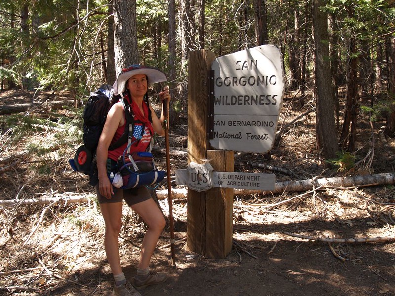
Five Days, Four Nights on the San Gorgonio Nine Peaks Challenge

Vicki and I decided to tackle the Nine Peaks Challenge this summer. This is a trip that I’ve wanted to do for years, but never found the time. What with the 4th of July falling on an inconvenient Wednesday this year, we opted to take Thursday and Friday off from work and do the nine peaks in proper style. Do it in one day? Sorry, but that’s for athletes, masochists, and/or people in extraordinary physical condition. Do it in three days? That’s for young Boy Scouts with unlimited energy, who don’t know enough to treat their own blisters. But doing it in five days? Now, THAT’S a hike worthy of civilized people! And it still turned out to be a lot of hard work. But it sure was fun, and a great way to spend five days. Highly recommended.

Trip Report:

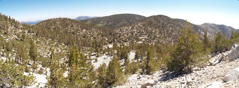
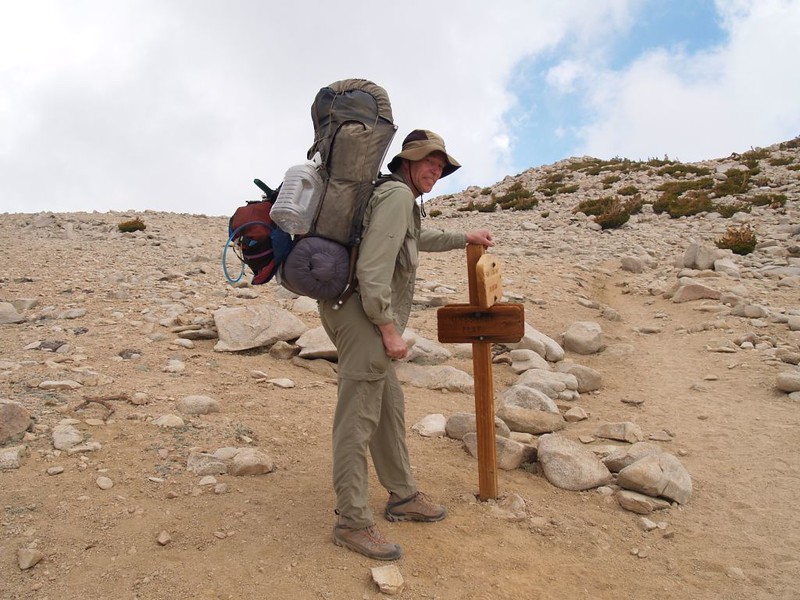
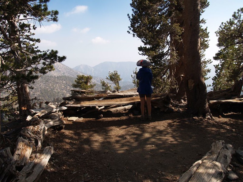
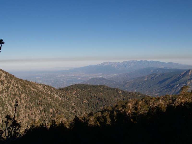
Day 1: We arrived at the South Fork Trailhead at dawn on July 4th. It had just finished raining (a freak summer monsoonal rain) and everything smelled wet and fresh and clean. The weather service said that there would be a forty percent chance of thunderstorms that afternoon, but we didn’t care all that much. It would be hot and muggy by then and maybe they’d cool us off! It was our first time on this trail, and it was very scenic.

Iconic View of San Gorgonio Mountain from Poopout Hill
Ferns and pines on the South Fork Trail
Horse Meadow on the South Fork Trail
South Fork stream
South Fork stream

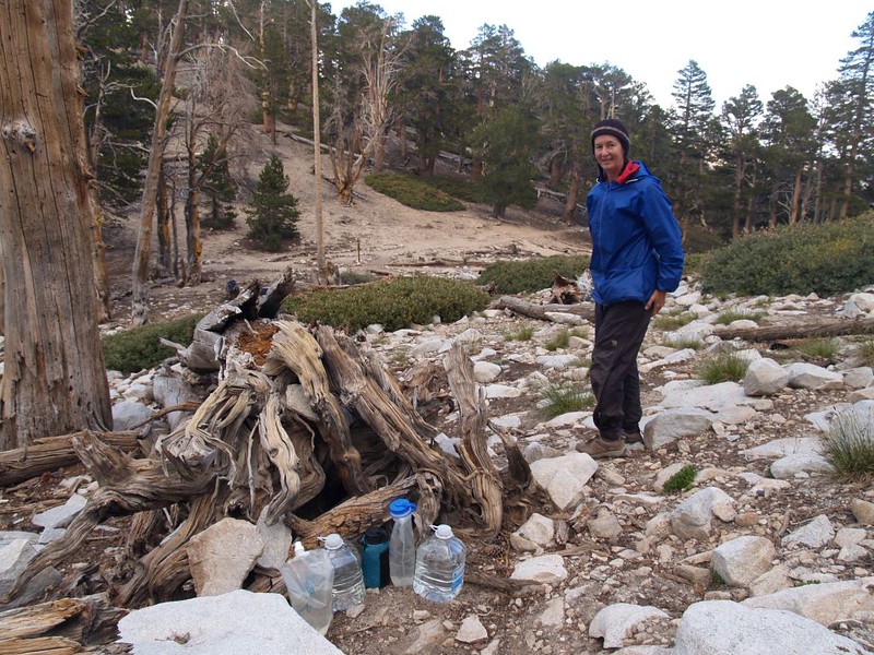
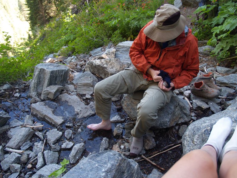
We hiked to Dry Lake and camped there. On the trail, we met the extremely helpful and friendly Ranger Bob. (He made me promise to post a trip report on the SGWA forum.) We stocked up on water at Lodgepole Spring and then day-hiked two gallons of it up to Mineshaft Saddle, where we cached the jugs for the next day.

Dry Lake
Dry Lake

Video of Lodgepole Spring flowing

HDR of San Gorgonio Mountain and Jepson Peak reflected by Dry Lake
HDR shot of Jepson Peak from the Dry Lake Trail below Mineshaft Saddle
Stashing a cache of water at Mineshaft Saddle
Vicki and I at the Zahniser Peak Summit, aka Peak 10056

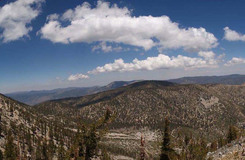
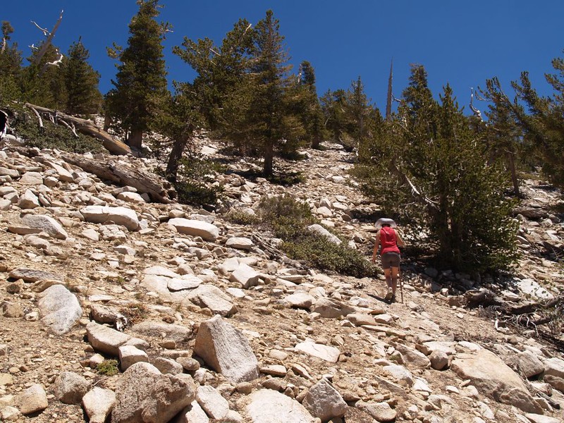
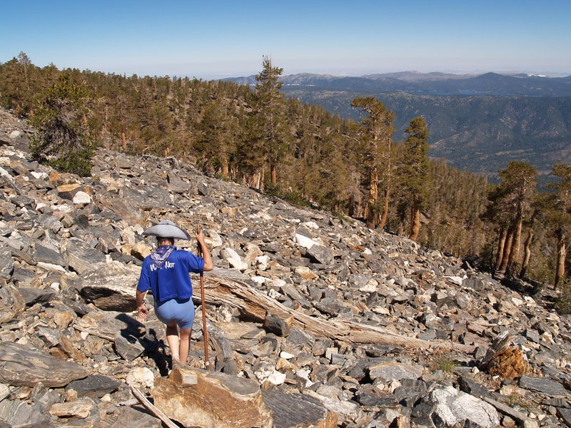
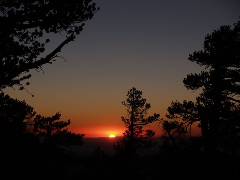
On the second day we hiked up the Sky High Trail to the summit of San Gorgonio, where we camped. It was a long hot hike, especially burdened as I was with an extra sixteen pounds of water, but well worth it. As the afternoon progressed, cumulus clouds were building all around, and by the time we made the summit they were blowing gently by all around us. Very scenic. The wind picked up later that night, but it wasn’t all that bad, as it helped to blow the clouds away.

Panorama view of Zahniser, Sugarloaf, Grinnel, Lake, and 10000 Foot Ridge from the Sky High Trail
C-47 Crash Site on the Sky High Trail
Cumulus Clouds over Grinnel Mountain
Peak 10997 (Bighorn Mountain), The Tarn, and Peak 10866 (Dragons Head)
Me carrying extra weight at the junction of the Sky High Trail (1W07.3) and San Gorgonio Mountain Trail (1E02)
The final climb to the summit of San Gorgonio
Clouds on San Gorgonio
HDR shot of our tent on the summit with San Jacinto in the distance
Sunset over Jepson Peak from the summit of San Gorgonio Mountain

Video of the summit wind on our tent in the morning

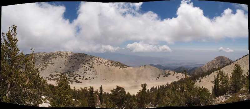
Day three consisted of bagging Jepson, Little Charlton, and Charlton Peaks. A much easier day than the previous two, as it was largely downhill. We camped at High Meadow Springs that night, and the water was flowing great. Tasty, too. What a beautiful place to camp!

All wrapped up against the wind as we leave our campsite on the summit of San Gorgonio Mountain
Looking west along the main ridge from The shoulder of San Gorgonio Mountain
San Gorgonio Mountain and San Jacinto Peak from the eastern summit of Jepson Peak
Vicki on the summit of Jepson Peak
Annotated photo of the nine peaks
I hope I got these peaks and elevations correct
Bushwhacking up the rocky slope to Little Charlton Peak after dropping our big packs on the trail
Vicki on the summit of Little Charlton Peak with Sugarloaf Mountain in the background
Charlton Peak Summit and register box
Vicki at the Dollar Lake Saddle Trail Junction sign
Campsite with a great view at High Meadow Springs
High Meadow Springs
High Meadow Springs

Video of the water flow at High Meadow Springs (this was only one of several small water streamlets):

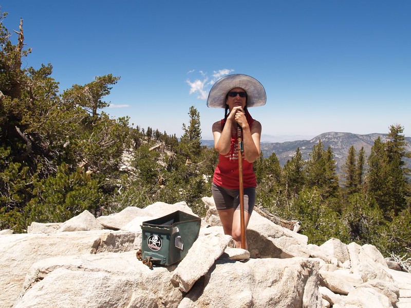
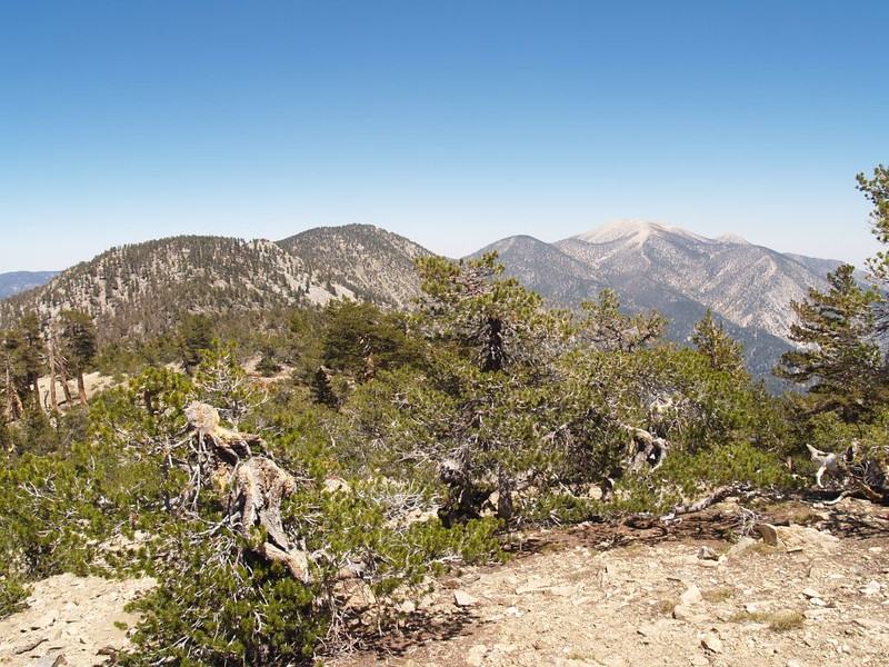
On day four we bagged Alto Diablo and Shields Peaks, then set up camp at Trail Fork Springs. We day-hiked onward, summitting East San Bernardino and San Bernardino Peaks, then turned around and made our way to Anderson Peak. On the way back to camp we met Ranger Bob again, and we helped direct him and his partner to the last known location of what might be termed an “alternatively prepared” hiker. Later on, after dinner, we met him once more, as he was also camping at Trail Fork Springs that night. And this time he had an extra guest with him! All’s well that ends well.

Cooking breakfast on the rocky summit of Alto Diablo Peak

Panorama video from the summit of the talus pile known as Shields Peak:
(Shields was probably my favorite summit of the trip, so different from the other peaks.)

View north toward Big Bear Lake from the summit of Shields Peak
Charlton Peak, San Gorgonio Mountain, and Jepson Peak from the summit of Shields Peak
Carefully descending the talus slope of Shields Peak, toward our backpacks on the trail below
Panorama view north toward Big Bear Lake from the Trail Fork Springs Camp
The summit off East San Bernardino Peak with San Jacinto Peak and Little San Gorgonio Peak in the distance
Panorama shot from the summit of East San Bernardino Peak
View back toward San Gorgonio from San Bernardino Peak
Cooling and drying our hot feet in the shade along the San Bernardino Peak Trail
View west toward San Gorgonio Mountain from the summit of Anderson Peak

Video of the water flowing at Trail Fork Springs:

Sunset at Trail Fork Springs Camp

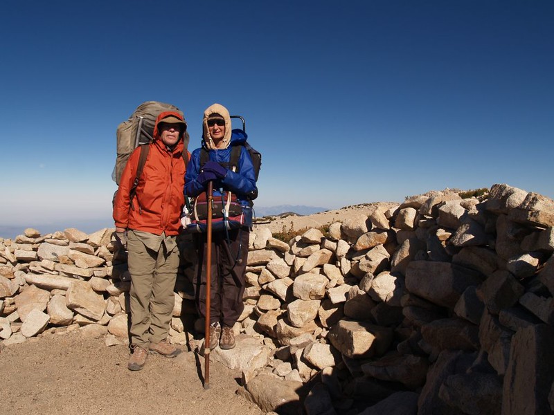
Day five saw us pack up early and hike like the wind down the Forsee Creek Trail. We were sure glad that we weren’t climbing uphill. Ranger Bob told us about a side trail located at the Wilderness Boundary sign which led us directly into the De Benneville Pines Campground. We followed the dirt roads in the camp down to Jenks Lake Road, which was a major short-cut. Thanks, Bob! We ditched our big packs behind a boulder and day-hiked up the road to our car at the South Fork Trailhead. We then drove back, loaded our packs into the car, and made our way to the Barton Flats Visitor Center, where I bought a San Bernardino National Forest T-Shirt and two official 9 Peaks Challenge patches.

Leave No Trace! You'd never know that we pitched our tent on this spot at Trail Fork Springs Camp...
Leave No Trace! You’d never know that we pitched our tent on this spot at Trail Fork Springs Camp…

This above shot is for Ranger Bob

Trees in the morning light while descending the Forsee Creek Trail
View west to Mount Baldy (Mount San Antonio) from the Forsee Creek Trail
Cooling my hot foot in Cienega Creek where it crosses the Forsee Creek Trail
San Gorgonio Wilderness sign on the Forsee Creek Trail (1E06)
Jenks Lake from Jenks Lake Road
Vicki hugging Smokey the Bear at the Barton Flats Visitor Information Center

My relatively terse trip report/summary and WAY too many photos and videos are on my Flickr page.

I’d like to thank Hikin’ Jim for several acme mapper tips and the initial route planning. I’d also like to thank the SGWA and their forum for the excellent info on water sources and about the lack of snow on the summit this year. And, last but not least, a special thanks to Ranger Bob!

Delorme Topographic Map of our hike

You can also see the full-sized map here

And, just for completion’s sake, an interactive CalTopo Map, too!

Leave a Reply

Fill in your details below or click an icon to log in:

WordPress.com Logo

You are commenting using your WordPress.com account. Log Out /  Change )

Facebook photo

You are commenting using your Facebook account. Log Out /  Change )

Connecting to %s

This site uses Akismet to reduce spam. Learn how your comment data is processed.