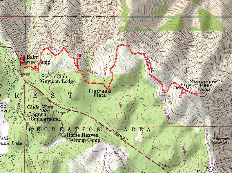
Vicki and I decided to get in a bit of extra “elevation acclimatization” for the following weekend’s multi-day backpacking trip by heading up into the local San Diego mountains for a day hike. We drove up to the Laguna Mountain area, arriving at dawn, and parked at a pullout on highway S1 (Sunrise Highway) just west of the Laguna Mountain Campground (National Forest Pass required to park there).
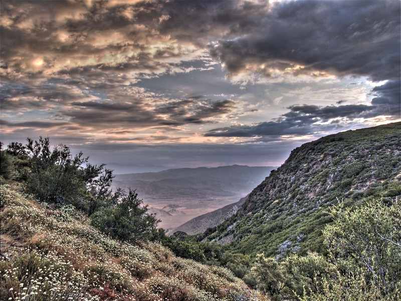
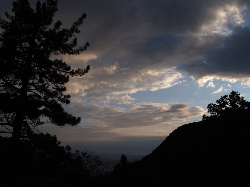
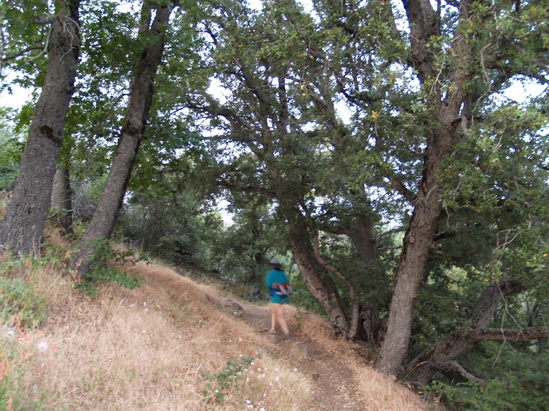
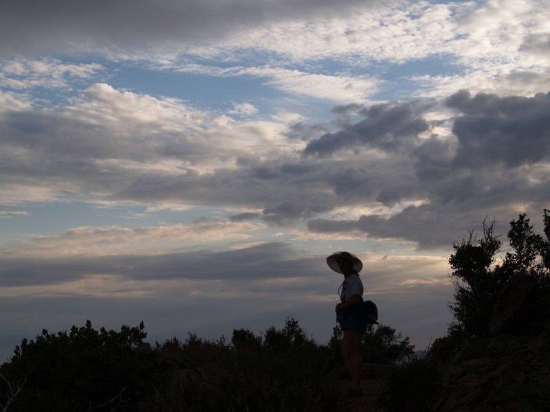
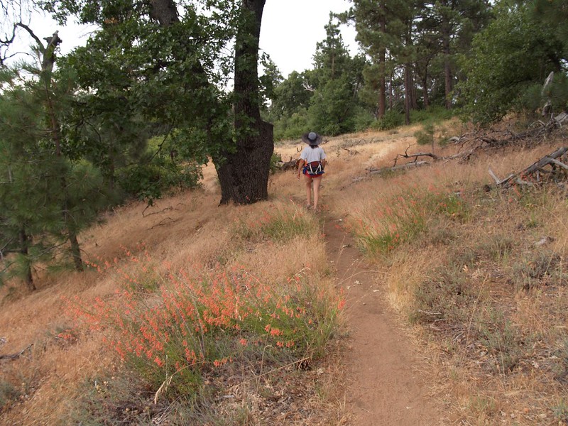
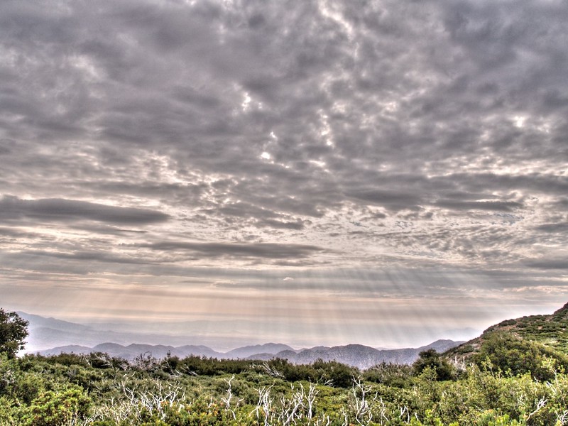
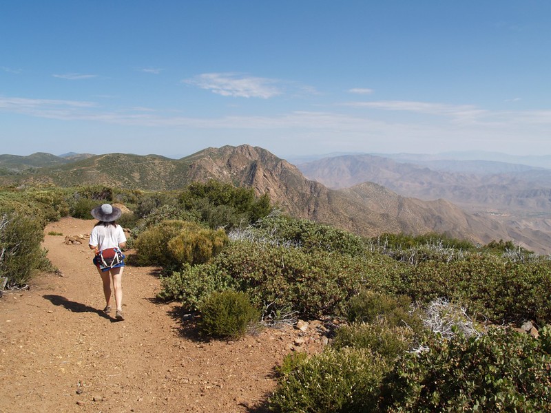
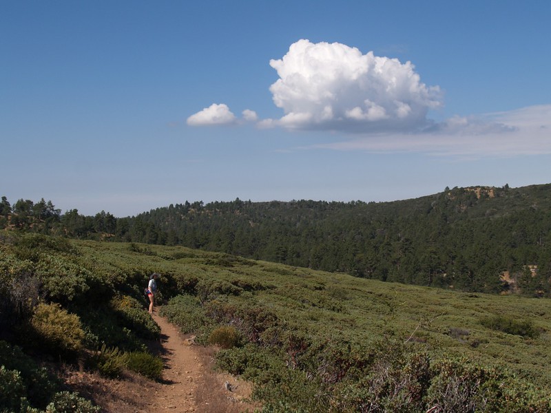
The PCT (Pacific Crest Trail) runs nearby, about 25 feet away from the parking area. We hiked “south” on the PCT, through oaks, pines, and a lot of chaparral. Luckily for us, this was a day with high clouds and monsoonal moisture so we didn’t roast on the way up, even though it was a bit muggy.
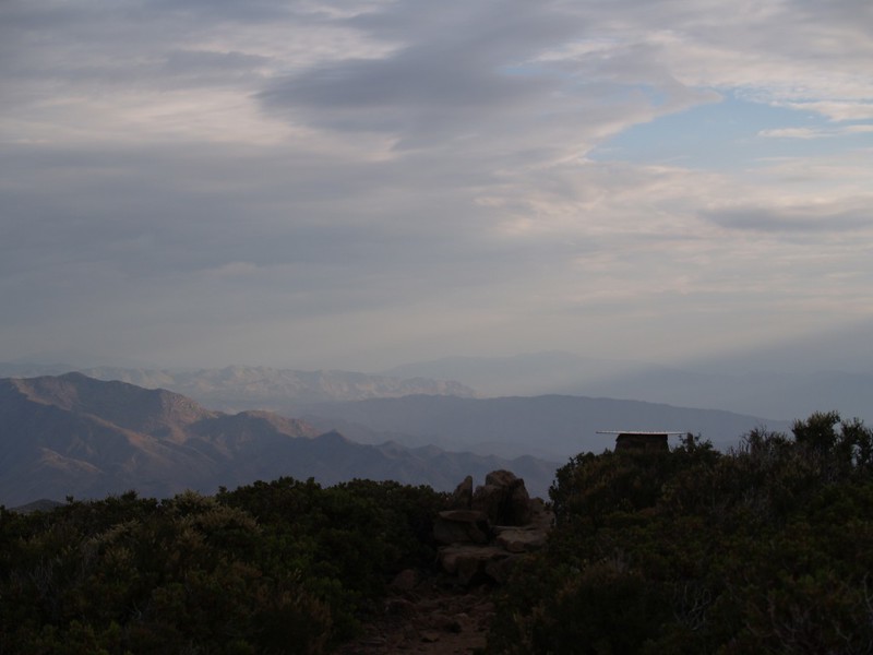
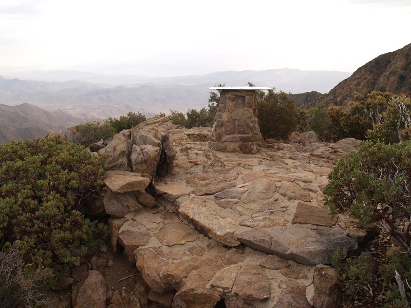
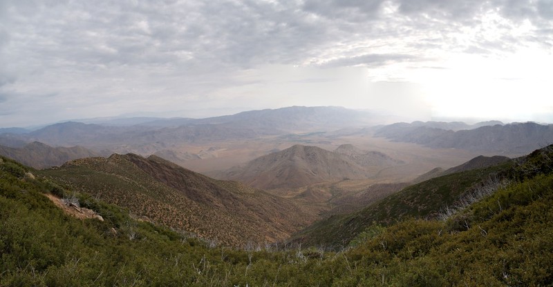
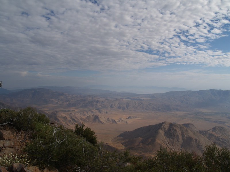
We explored one side-trail to Foster Point, which had a nice display showing all the mountains that you could see from that spot. The furthest one was San Gorgonio (83 miles away) but we couldn’t quite make it out in the moist air. We did, however, just barely see the outline of San Jacinto 64 miles in the distance.
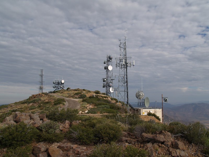
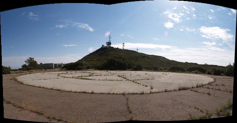
We continued hiking along the PCT until we found an unmarked trail leading north, right in between the two doublet peaks of Monument Peak. The trail led to the main summit of Monument Peak, which had many microwave communication dishes and cell phone antennas on top.
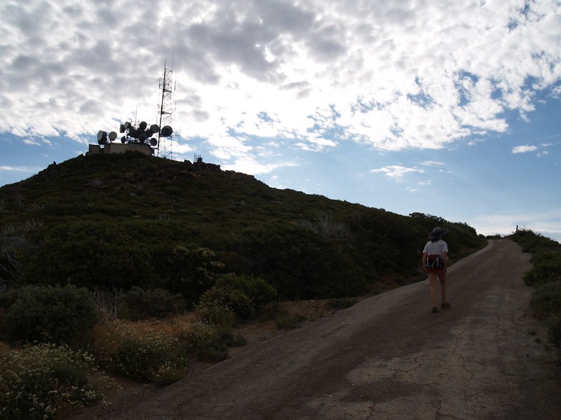
We decided not to get “microwaved” and stayed over on the eastern side of the peak, so didn’t truly touch the highest point. Oh well. Maybe it would be better to hit the true summit in the winter when you need to get warm! (Just kidding. Really.)
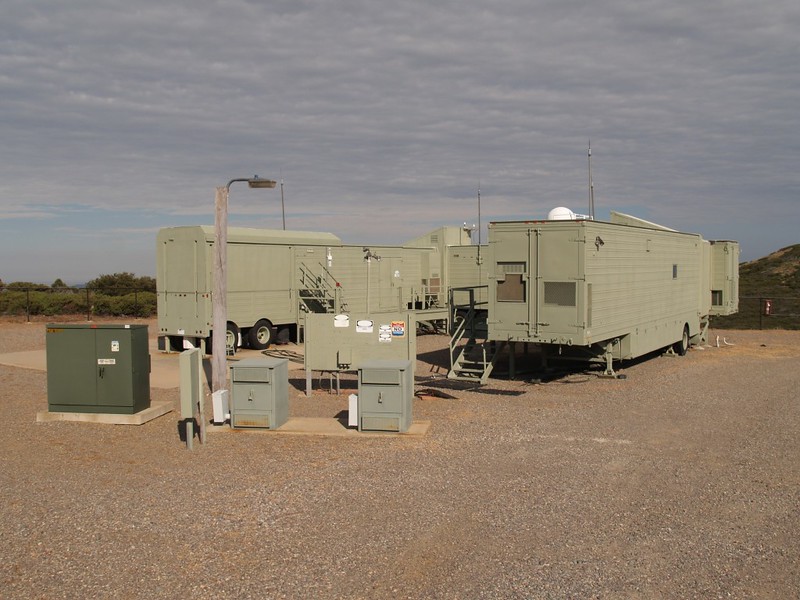
Not far downhill from the summit was a barbed-wire-enclosed facility with a small dome and a U.S. Govt property sign. No idea what it was for, but there were also some weather instruments within the enclosure. We left that area alone, as well.
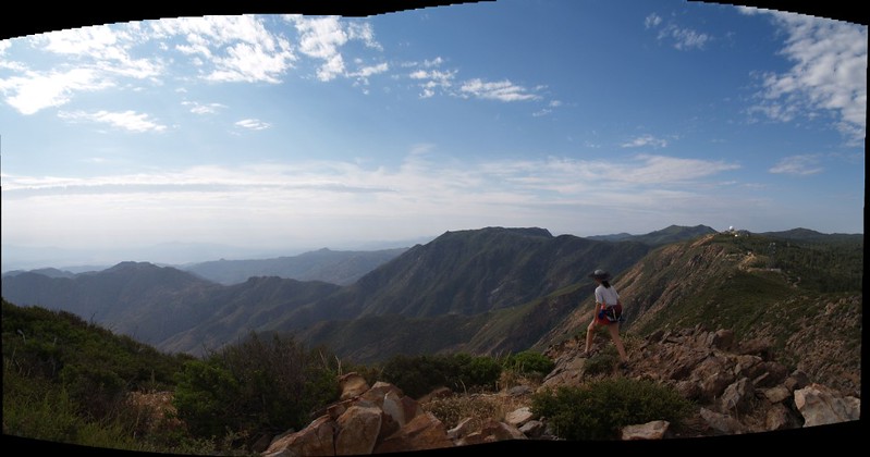
The clouds drifted north and the sun came out just as we stood on the summit. Perfect timing! We ate some snacks and hiked back to the car. Going downhill in the hot sun is much better than uphill.
Total miles: 3.3 each way. Total elevation gain: about 800 feet, from 5400 at the parking area to 6217 on the summit. The gps software claims that we climbed 1100 feet total with all the ups and downs. I like that number better, but let’s compromise and call it 1000. All in all, a nice day for hiking. Did we improve our blood oxygen levels? I’m not sure, but Vicki says she can feel it.
The rest of the trip photos can be found on my Flickr Page
Interactive Caltopo Map of our hikes