On the first day of our nine day trek we backpacked north from the Pacific Crest Trail’s Slate Peak Trailhead near Harts Pass to the small campsite just beyond Windy Pass, which made for an easy five mile day. We could have gone further that day, but we were on vacation, with no time pressures, so why rush? As it was, we had already spent three days driving here, from way down south in San Diego, 30 miles from Mexico, all the way to the northernmost section of the PCT, roughly 30 miles from the Canadian border!
Part of the reason for driving this far was that we fully intended to make it all the way to the border this time! Years ago, back in 2014, Vicki and I had a medical issue up in this area, and had to end our hike prematurely. We were still a bit sore about that. This trip was planned, in part, to make up for this shortfall. The secondary reason was that we had other things to do up here. After we finished this hike we intended to explore national parks in Washington and Oregon, and turn it into a months-long Road Trip. In other words, this hike was just the first act of a full-length production.
We arrived in Mazama, WA in late afternoon, and stopped at the motel we stayed at last time, back in 2014. We got a reservation for nine nights later, staying in the same exact room we had before. We would celebrate our success at making it to the border with warm showers, a clean bed, and a hot tub!
After that, we drove twenty miles further, on the infamous Harts Pass Road, the highest road in the state of Washington. It was just as scary now as it was back then!
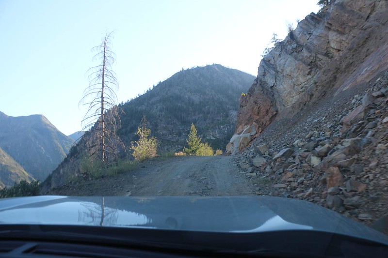
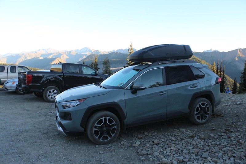
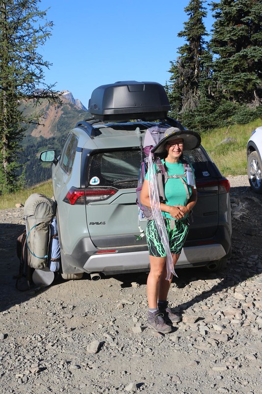
The parking spot was up at 6800 feet elevation, which isn’t all that high, but Vicki still welcomed an extra night to acclimate. The next morning we woke up, ate some breakfast, and made sure our big backpacks were 100% ready. We took a quick side-trip down to Harts Pass proper, and placed the extra car food in a bear box there. We posed for a couple of obligatory photos and started hiking. It was a beautiful day, with excellent visibility.


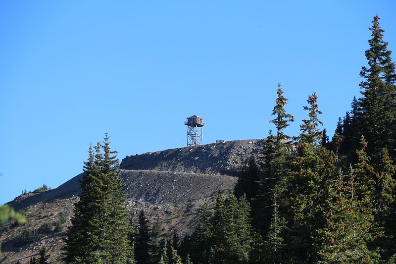
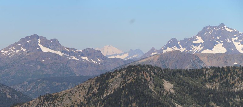
After signing our wilderness permit, we continued north on the PCT, which traversed around the west side of Slate Peak. The trail didn’t change elevation much, and it was super-easy hiking. Since we were on the side of a mountain, largely covered in grasses and flowers, the views were superb. Amazingly enough, we were able to see Mount Baker in the distance, shrouded in ice. The Cascades are impressive mountains, indeed.

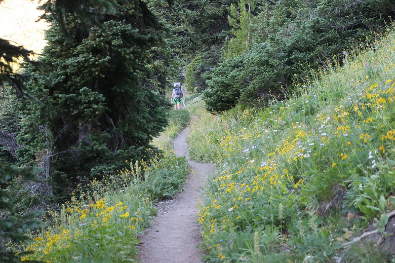

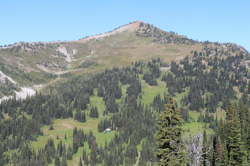
After Slate Peak, the trail gradually dropped several hundred feet to the Benson Creek valley with its pretty meadows, then dropped again on its way to Buffalo Pass. We took a break there, and had our snacks. We met some other hikers coming south from the border, and found out everything we needed to know about the trail ahead of us. News travels fast on the trail!


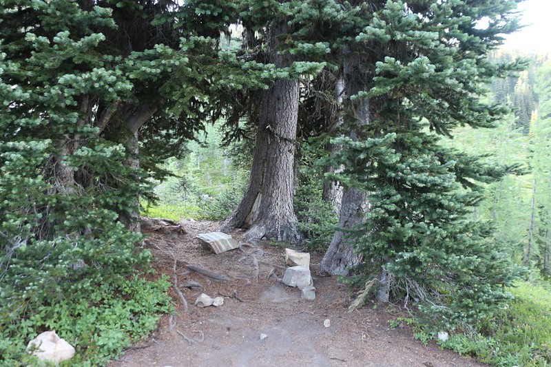
All told, we descended about 700 feet by the time we reached Windy Pass. There were a few campsites in the trees at the pass, but we decided that we wanted to go on a bit further. It wasn’t even noon! Windy Pass was also the point where we entered the Pasayten Wilderness. This wilderness area was why we filled out the self-issue permit earlier.


We knew exactly where we wanted to go because we had camped there in 2014! It was only three quarters of a mile further, and a couple hundred feet uphill. Vicki groaned a bit, as she always does when faced with a climb in the hot sun, but we didn’t have a lot of choice: There wasn’t any water at Windy Pass.
The best thing about crossing beyond the pass, however, was the new views we obtained, looking out over the Pasayten River Valley. On this side of the pass we were in the Okanogan National Forest, while earlier we were in the Mount Baker Snoqualmie National Forest. The ridge line divided forests, counties, and watersheds, with one side draining to the Pacific, and the other heading east and inland. And that’s why they routed the Pacific Crest Trail right here.


We made it into camp and set up the tent. It was still early afternoon, and very sunny. Luckily, there was a spot of shade under some pine trees for me to sit in, but there were a lot of flies at that hour. They seemed to love the midday heat. Vicki got annoyed and hung out inside the tent with the screen zipped and the doors open to catch a breeze. I tried going in there with her, but immediately started roasting, so I went back out and put up with the flies. They didn’t bite, just buzzed annoyingly.


Eventually, of course, the sun went down behind the ridge and the flies went away. We decided to cook dinner before the mosquitos arrived for the evening! We laughed about it as we ate, but they never showed up. It was pretty mellow. As usual, we decided to head to bed before it got fully dark. While I was reading my book, a young couple arrived. I said hello, and they replied that there was no more room at the other spot across the creek, and that they were going to set up their tent across the campsite from us. I told them that it was fine. And they were quite quiet, talking softly together as the sun went down. I never saw them, and Vicki never even woke up. Interestingly, the PCT is probably the only trail where people will walk into your campsite and set up their tent right next to you. It’s that crowded. By the time the north-bounders get to Washington they don’t even ask permission. It’s a given.
After that, I also fell asleep, and the night passed without incident.
For a topographic map of the hike see my CalTopo Page
For LOTS more photos of the trek see my Flickr Page
Onward to Day 2 >> 

