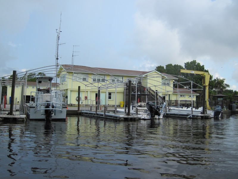
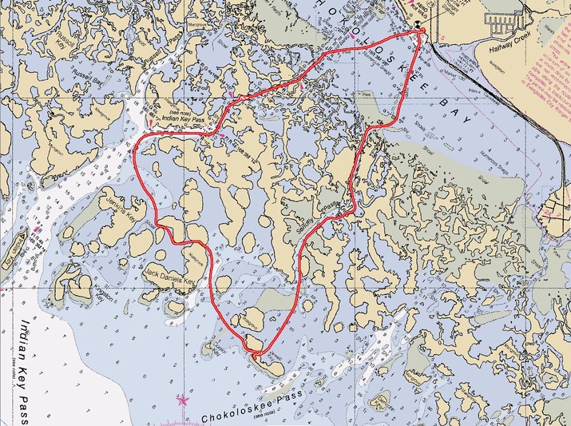
I went to visit my sister in Florida and she wanted to show me the local sights, so we met a friend of hers with a boat down at the Everglades National Park Ranger Station dock down in Everglades City, Florida. We jumped in the boat and began motoring southeast across Chokoloskee Bay. Our destination: Jewell Key.

Video of us motoring out into Chokoloskee Bay, in the channel, heading for Sandfly Pass


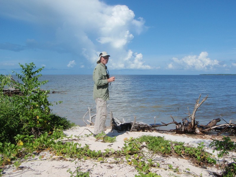
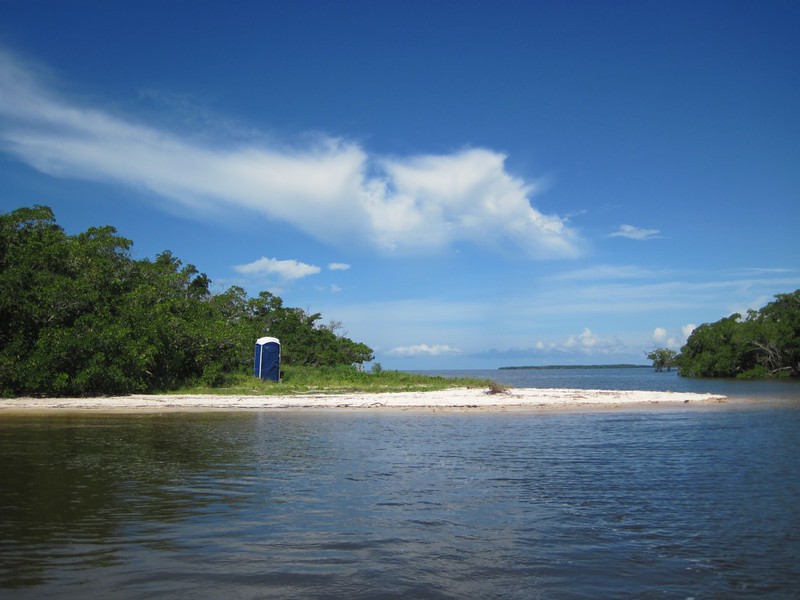
It didn’t take long, not at that speed. We arrived at the Jewell Key Campground (more like a small campsite), where we beached the boat and debarked. This was our official “destination” and so we wandered around the island for a while.
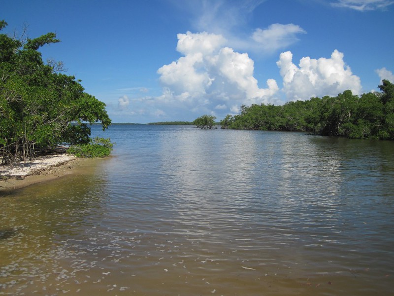
Jewell Key was a real island, in that it had actual sand that rose slightly above sea level. This was unlike almost everything else that we had passed by, which were so-called “mangrove” islands, composed of mangrove plants whose roots were always in the water, reaching down to grip the sand and broken shells below. The mangroves were impenetrable thickets to you or me but water was able to flow through them, albeit slowly, with the tide. Fresh water from the everglades flowed outward into these mangroves and gradually mixed with sea water, so that many of the bays and channels through the mangroves were actually brackish water. This made for a unique ecological zone, and there were all kinds of interesting life forms interacting in there. Crabs and bugs and fish and birds, all feasting upon one another. And the smell of the mangroves was strong; it somehow belonged with the high temperature and muggy, humid air.
Jewell Key, however, was another story. It directly faced the broad Gulf of Mexico. The gulf was a calm bathtub the day we visited, but I tried to imagine what it would be like out here during a tropical storm, with the wind whipping, the branches lashing, and much bigger waves crashing into the hardy plants that lived out there, a storm trying its best to obliterate the island entirely. And it could. But not today. The weather was fine, with puffy tropical clouds forming fantastic shapes all around, and plenty more of them marching off to the horizon.


Video of gentle waves washing the worm coral on the shore of Jewell Key
Video of small waves on some old mangrove roots, on Jewell Key
Video of a Horseshoe Crab
We decided to take a different route back, to make our trip a loop, so we headed northwest toward Indian Key, and the much deeper Indian Key Pass. Along the way we saw a dolphin mother and child, and there were several other small boats stopping to check them out. The little one was very cute.
Video of us motoring slowly through a channel between mangrove islands near Jack Daniels Key

Video of us entering Chokoloskee Bay from Indian Key Pass

Before we knew it we were back at the dock in Everglades City, and the day’s adventure was over. We also lucked out and didn’t have to stay and clean out the boat, which is almost always a dreaded, but necessary, chore. And then we went back to my sister’s house to plan a few more adventures.
For more photos and videos check out my Flickr page.
For an interactive map showing our GPS track see my CalTopo page.
