We took advantage of some mild weather to explore Sheep Canyon in Anza-Borrego Desert State Park. We drove our old truck northwest out of Borrego Springs into the desert about as far as we could drive it on Coyote Canyon Road (a dirt road), to a point just beyond Third Crossing. We took the truck because there were six of us on this trip and all of us and our gear fit inside nicely (we never could have fit all of them, even without backpacks, in our old Saturn).

Third Crossing on Coyote Canyon Road

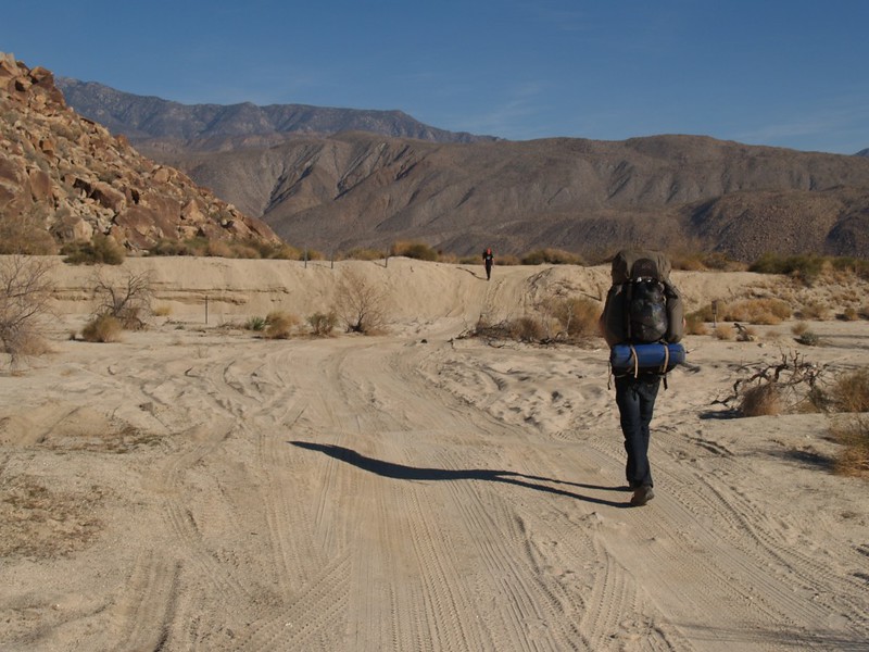
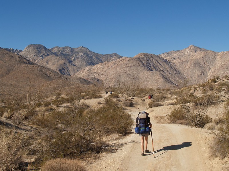
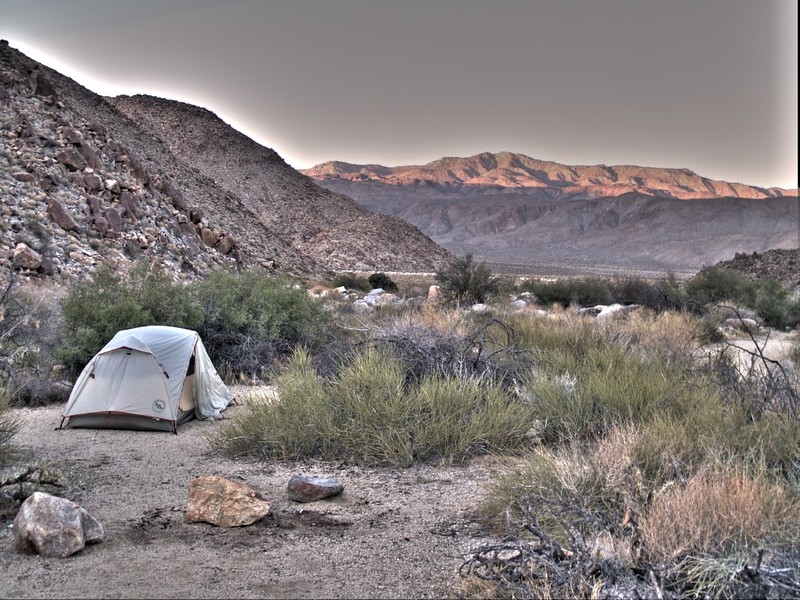
We backpacked from there (the road becomes four-wheel drive only at that point). If we’d had a decent 4WD truck we could have driven the whole way. Oh well. It was a nice hike anyway, up and over the hill, then across the gradually-sloping desert floor. We set up camp at the mouth of Cougar Canyon, which the kids were going to explore the next day. We went there last year, so we wanted to check out Sheep Canyon this time.


Video of Water flowing at the mouth of Cougar Canyon
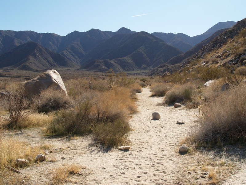
The next day, four of us explored Cougar Canyon, while Vicki and I day-hiked around the corner to explore Sheep Canyon. Sheep canyon has two parts, the South Fork and the main fork. We explored the main fork, so that we would have something else to check out next trip. Like Cougar Canyon, Sheep Canyon also has water in the stream year-round.

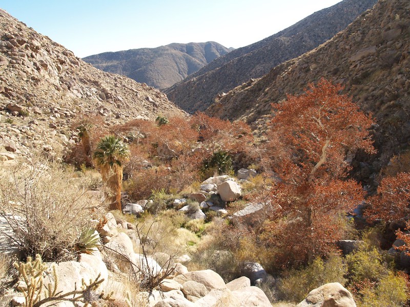
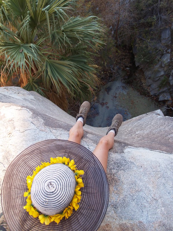
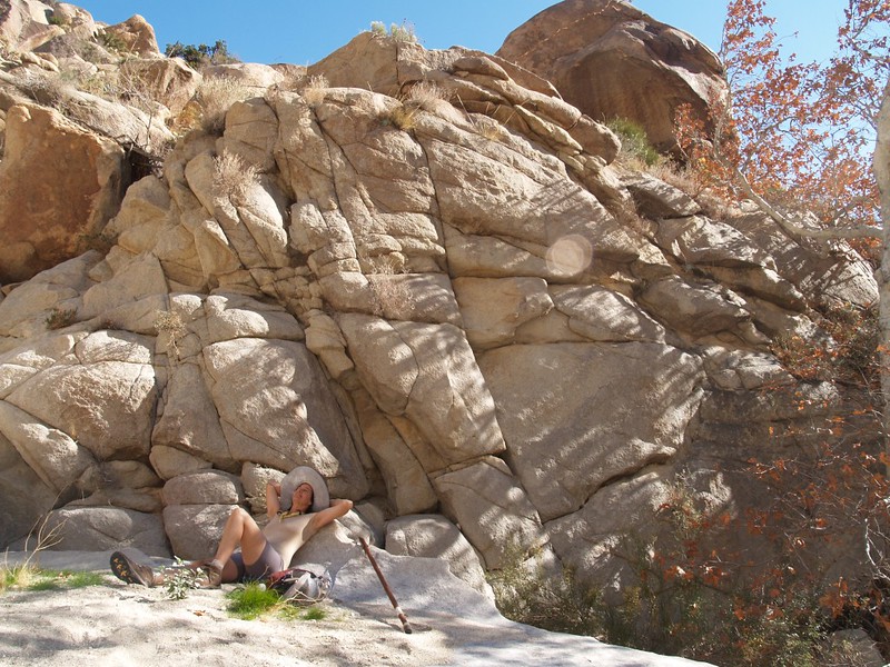
We hiked upstream for quite a distance, until our turn-around time of noon-ish. We found many beautiful waterfalls, and also a nice shady cave-like grotto with waterfalls inside. There was a fairly prominent foot-path all the way through the canyon, although we had to climb up on the right side (heading in) onto a small canyonside ledge/plateau in order to get up and around one of the larger waterfalls. We placed a couple of “ducks” (cairns) to help other hikers find this easier path upstream. We ate lunch on a nice flat rock with a great view down-canyon, and Vicki took a short nap in the sun. The temperature was a comfortable 70 degrees, just perfect for enjoying the desert.


We couldn’t find our way around this waterfall without going beyond our pre-designated turn-around time, so we headed back downstream for some lunch with a view.
We hiked back downstream and made it to camp before sunset, just as the larger group arrived back from exploring Cougar Canyon.

The next day we had breakfast, packed up, and hiked out. It was much easier hiking out as it was mostly downhill. Just the same, it wasn’t a long hike, and almost anyone could do it with ease. After reaching the truck, everyone agreed that it had been a truly excellent weekend. Just as importantly, the truck also did great in the desert, and it may go back again soon!