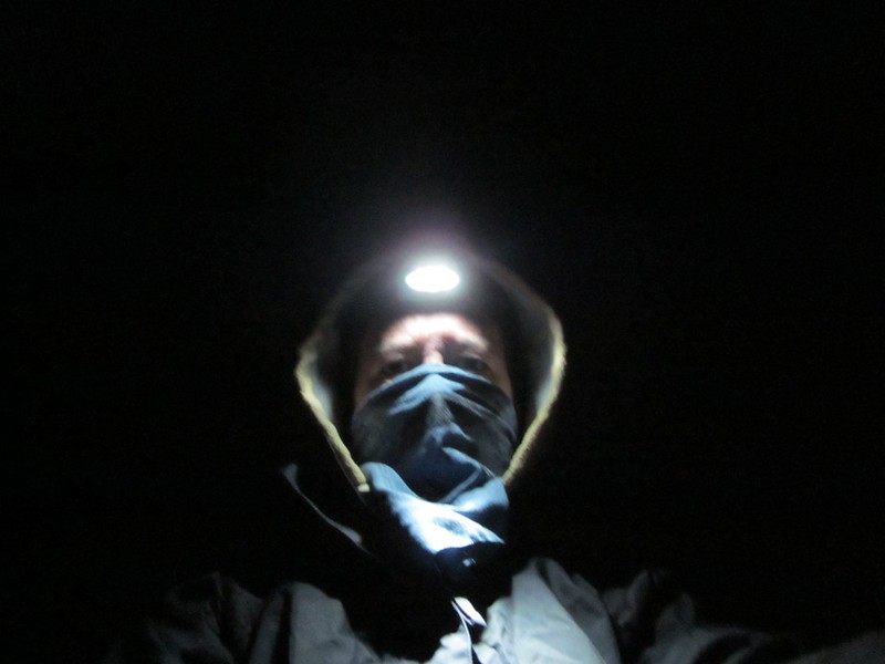
Vicki and I headed out to Anza-Borrego Friday evening after work, arriving about ten o’clock. We drove out on Coyote Creek Road until just before the Third Crossing, which was about a mile further than we’d ever driven before. We decided last time that the car should be able to make it over this one tricky section of road, and it did! We parked in the dark, and got out into the gusty, windy night. There was a wildly flapping tent set up behind a parked truck, and we knew they had to have heard us pull up, as there wasn’t much sleeping to be done in a tent with the wind blowing it nearly flat. We packed up as quickly as we could, donned our headlamps, and hiked out. We both wore our rain gear as windproofing, and Vicki also put a bandanna over her mouth and nose for protection from the flying dust.
Video of frogs and wind near Third Crossing on Coyote Creek Road
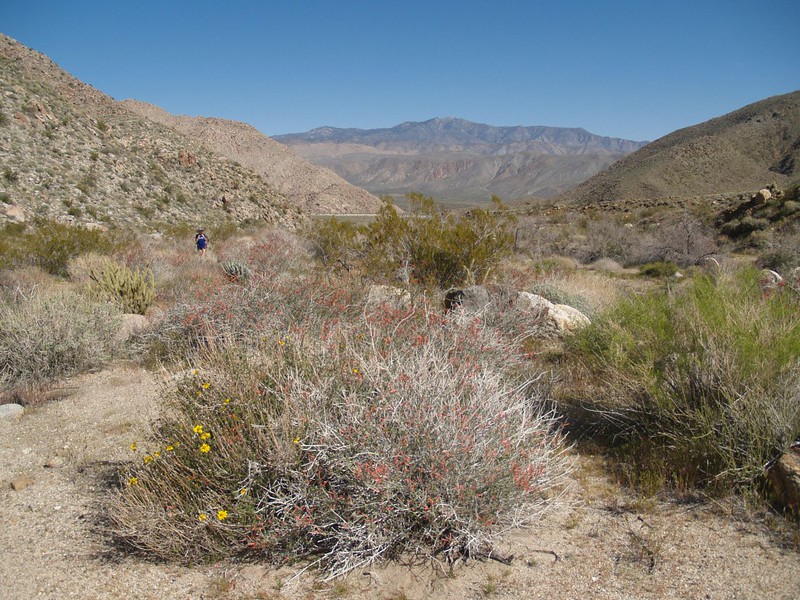
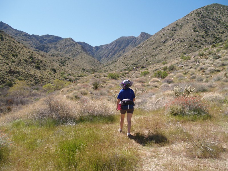
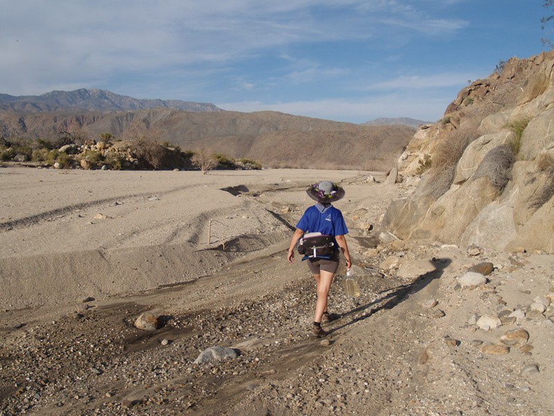
The hike was fairly uneventful, with the exception of the occasional pelting blast of grit and sand. We climbed up the jeep road over the hill into Collins Valley, then headed west along the foot trail leading towards Sheep Canyon. We were headed directly into the wind the entire time. Loads of fun. The moon was a bit less than half full, and set behind the mountains by midnight. It was dark after that, as well as windy. We decided that we’d hiked far enough, and headed south toward the rocks of the ridge which rose directly out of the sandy plain that is Collins Valley. With our headlamps shining around, looking for a good spot for a tent, we noticed a smaller ridgeline that might offer some shelter from the blast. We walked around the corner and it was noticeably less windy. In fact, it was downright calm! Well, in comparison to the main valley floor, anyway. We found a flat area for the tent and set it up. I climbed inside and began blowing up the sleeping pads while Vicki set up the stove and cooked herself some ramen noodles. It was well after midnight, and we were tired. Soon, we were both snoozing happily, only rarely awakened by errant gusts that swirled around our protective ridge.
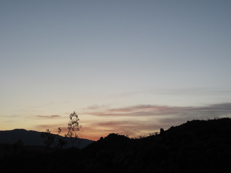
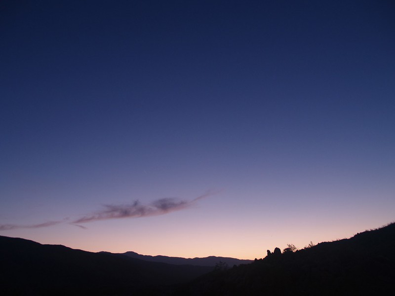
Dawn arrived without us. Now, normally, we would be up at the crack of dawn, but not that day. I took a photo of the dawn (to prove I saw it) but I did it by opening the door of the tent and aiming the camera to the east. I zipped it back up and snuggled into the sleeping bag immediately afterward. Sadly, my hiding didn’t work for long, as the sun came up directly over the lowest point on the horizon, and blazed into the tent like a searchlight. “Alright, already! We get the point!” We cooked some freeze-dried breakfast and got our daypacks ready. The sun was heating the air nicely. It was predicted to be in the low 80’s, which was much better than the cool cloudiness that San Diego was receiving that day.


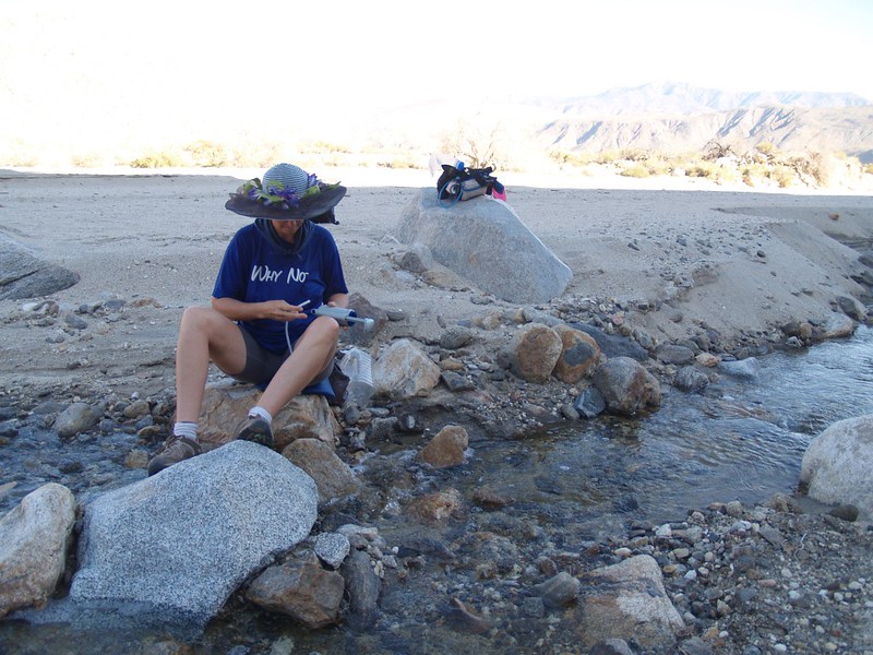
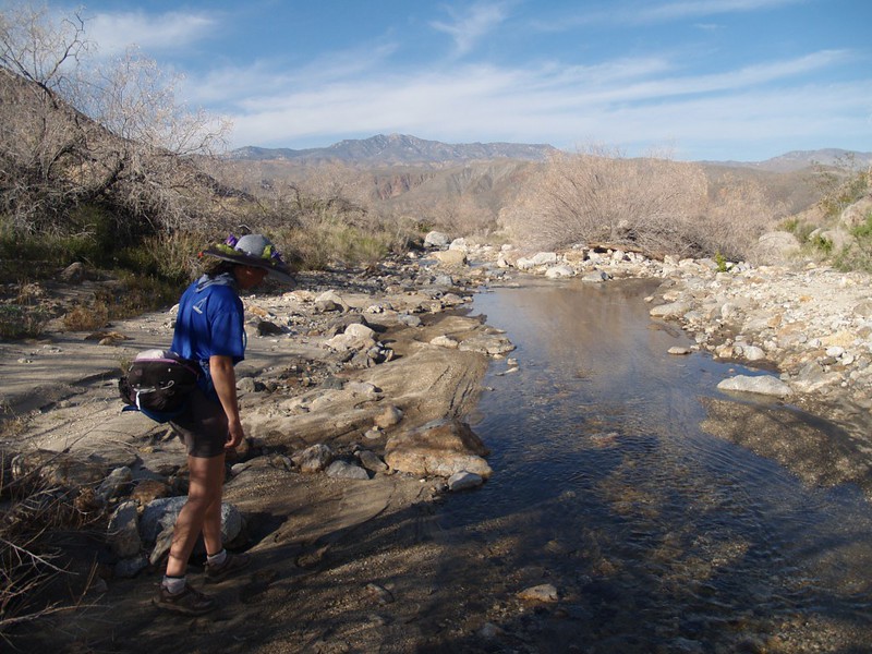
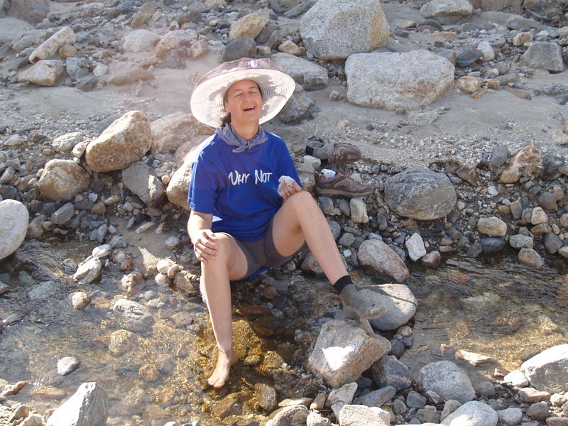
We were hiking by eight AM, which wasn’t bad at all. We bushwhacked along the wash that exits Indian Canyon, and came upon flowing water. The stream was flowing less and less as it traveled; eventually it simply sank into the sand of the wash and disappeared from sight. We traveled upstream a ways and decided to fill our empty gallon jug for the next day’s hike out to the car. We stashed the jug behind some rocks next to the riverbed and made a waypoint on the gps, just in case.

Video of Vicki floating her bandanna down the stream
The Indian Canyon Trail actually begins near the Sheep Canyon campsites, but we intersected it further up-canyon. As we neared the trail, we spotted a lone backpacker heading up the canyon. We thought we might catch him, but he was faster than us. And we didn’t see anyone else that day until we came back down in the late afternoon, a few folks that were camped below Cougar Canyon.

Video of the stream from Cougar Canyon.
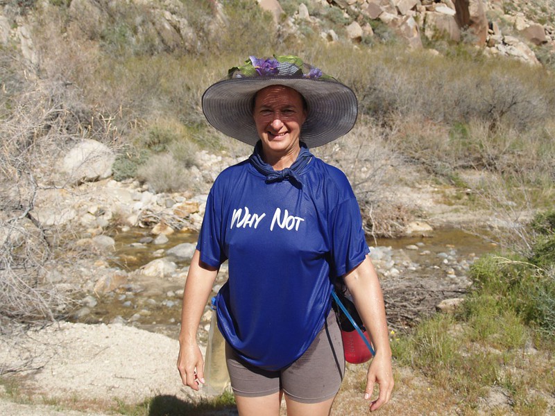
The trail gets much smaller after the junction with Cougar Canyon. It seems that very few people use this trail. In some spots, trail finding became difficult, and we had to range around our last known sighting until we found it again. It’s worth taking the extra time finding the real trail, as the bushwhacking gets difficult (and painful!) rather quickly near the wet bottom of a canyon in the desert. Vicki’s bare legs ended up thoroughly scratched by the end of the day.
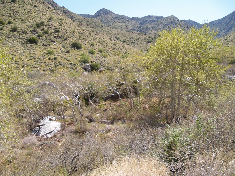
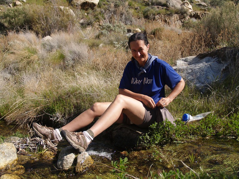
There was a small stream of cool, clear water flowing along the canyon floor, and the trail occasionally crossed it. There were sycamore and cottonwood trees, as well. We filtered some water and it tasted good, and didn’t have the brownish tint that the Cougar Canyon stream had. Sadly, our gallon jug had the brownish water, which I have since decided is probably due to its iron content (i.e. rust) rather than tannins. But the rusty water tasted fine also, so I decided to be happy that I didn’t have to carry it an extra mile or more.

Video of the stream flowing, complete with wildlife sounds


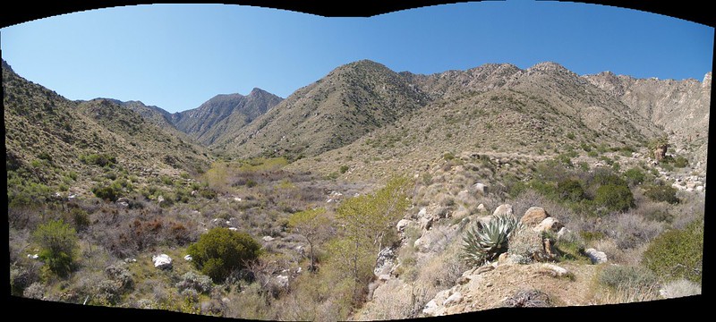
We hiked upstream until the Valley of the Thousand Springs opened up on the right hand side. At this point the trail was tricky, as you had to climb up onto the skinny ridge between Indian Canyon and the valley. The spine of the ridge lead to the top of a nice mesa, where there were many excellent places to camp.
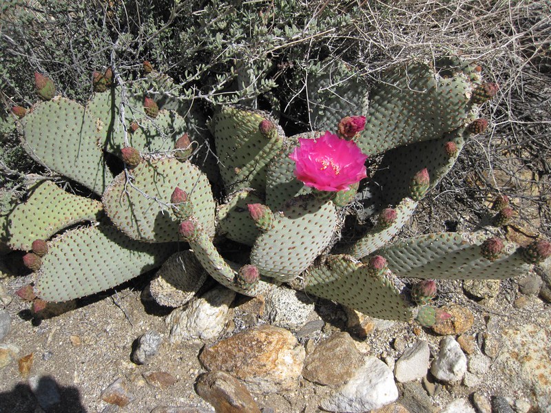
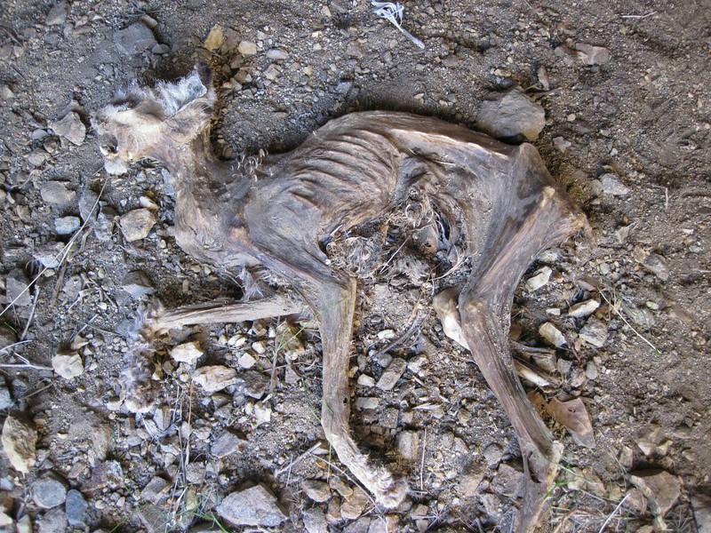
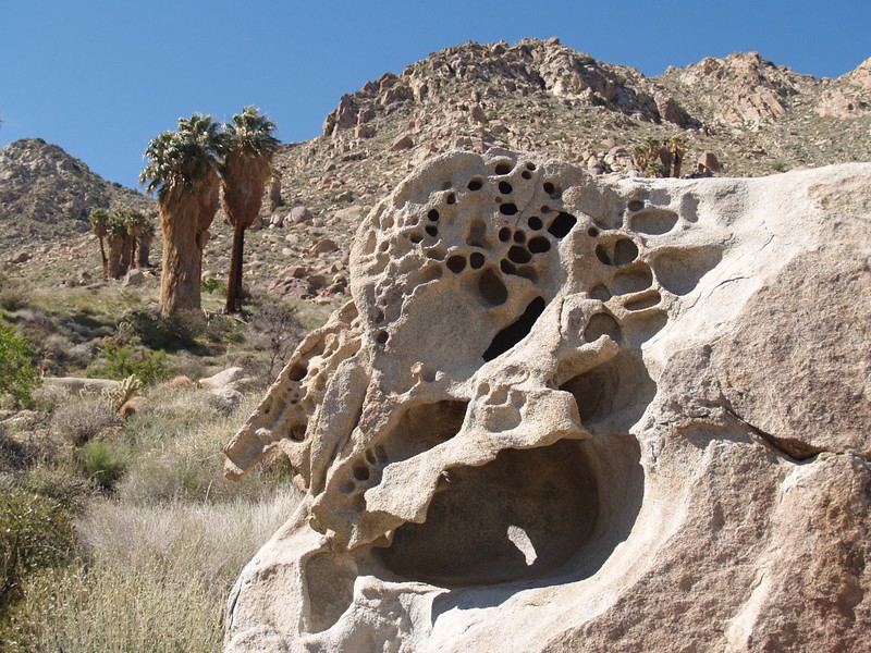
We decided to save the valley for later and headed further up-canyon until we came upon the “tunnel” on the topo map, which was supposedly an old tin mine. It was less than head-height, and was bored directly into the side of the canyon. Sadly, it was only about twenty feet deep. Not much to see, in other words, except for the two oddities: The carcass of a dead and dessicated bobcat at the mouth of the tunnel, and a pile of dried cholla cactus in the far end. These last caused some problems by the spines lodging deep into the soles of our shoes. We had to sit and pick them out, and in doing so I sat on one of them myself! Ouch! Good thing no one was around, as I required some ASSistance from Vicki to get the stubborn spines out of my posterior! No, I did not include any photos of this operation.

Video of the interior of the tin mine
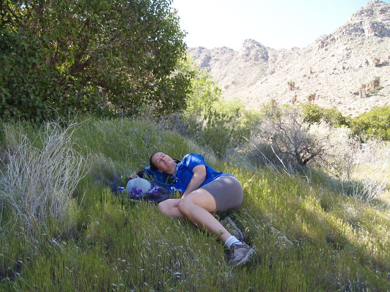
At that point we decided to take a break. We hiked a bit further, down to the stream, and ate lunch in the shade of some sycamore trees, whose new Spring leaves were just getting started. Vicki took a nap on a nice granite boulder, and I sat on a grassy slope, reading and listening to the gurgle of the tiny stream. It was relaxing. Water in the desert, flowing under a shady tree – what a rarity!

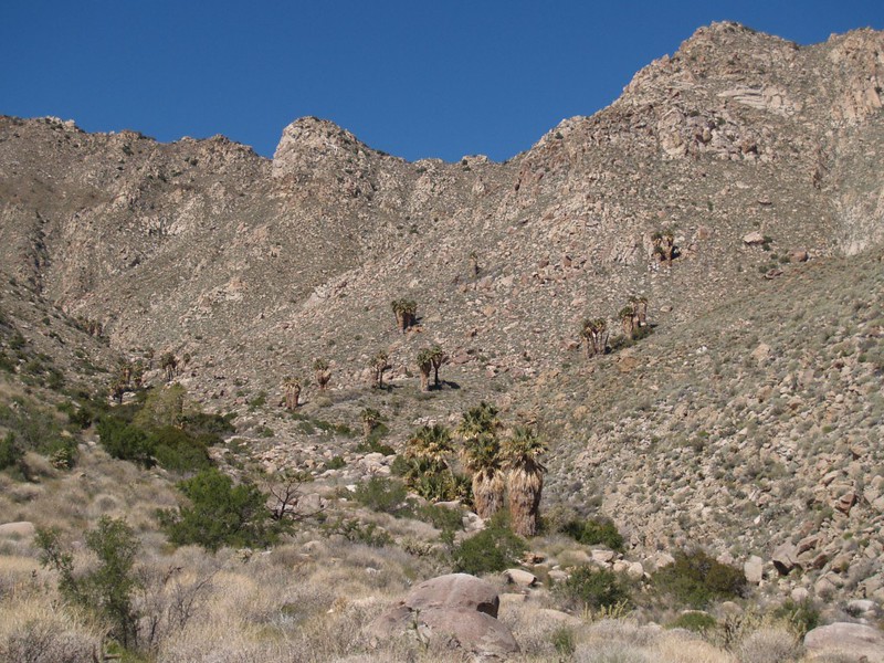
It would have been nice to continue hiking further up Indian Canyon, but Vicki really wanted to check out the Valley of the Thousand Springs. It certainly sounded amazing, at any rate. So we turned around and headed back downstream, climbing back up to the nice little mesa. We turned left and hiked into the valley. In the bottom of the valley, as well as along its walls, were many small groves of palm trees. Some “groves” were one tree, some two, and others had several crammed together. Now, palm trees are NOT like cacti; they need to have their feet wet, so to speak, or they’ll die. The valley’s widely-spread profusion of palm groves was evidence of many, many springs. But a thousand of them? Not likely. We’d been had. Someone took a big dose of poetic license when they named this canyon! Just the same, it was pretty in it’s own way. So we hiked up-canyon, looking to pump water at one of the “thousand” springs. And, amazingly enough, there was NO WATER. The palms and other vegetation had sucked it all up. Of course, we didn’t visit EVERY palm tree looking for water, but there was none of it flowing at the ones we hiked near, and there was no water flowing along the bottom of the valley. This place was more like the Valley of the Thousand Useless Springs. And the saddest part was that we hadn’t bothered filtering any water back at our lunch spot, because SURELY there would be no need to carry water into the Valley of the Thousand Springs. Oh, yes, we’d been had. We actually ran out of water in the Valley of the Thousand Springs! Amazing, but true. So we gave up exploring the area and headed back down to Indian Canyon and the small clear stream, where we drank our fill, and filled our water bottles.


Video panorama of the valley

Meanwhile, the afternoon was waning, and it was time to head back to camp. We hiked down the canyon, and found several tents set up just outside Cougar Canyon. It was a popular spot, and after the disappointment of the Valley of the Thousand Springs, we were almost wishing that we’d gone to Cougar Canyon once again. But not really. We’d had a great day together, and felt like we were truly out in the untraveled wilderness. We headed back to our campsite, away from the “crowds” in this obviously too-civilized area. When we reached our cached gallon jug of water, we discovered that the stream had retreated over one hundred yards up-canyon! We had to hike back and filter one final batch of water, to tide us through until we reached the car the next morning.


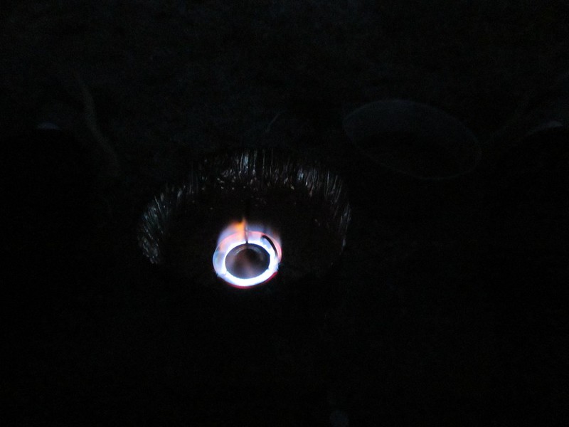
We hiked the mile or so back to camp, then rested in the tent, cooling our feet with our shoes off, reading our books. It was nice and private and quiet. The sun went behind the mountain and it was time to wear some additional clothes for the evening. Then we cooked up some fancy organic vegetarian freeze-dried food (ten bucks for two servings!) which Vicki liked but I didn’t. I ate some cheese crackers instead. I wasn’t all that hungry anyway, so it was OK. Just the same, both Vicki and I decided that our usual Mountain House meals were still the best. There were some high clouds up in the sky, and we were hoping for an extraordinary sunset, but it never really glowed to its full potential. Still, it was pretty, and it was nice to watch it together, enjoying the desert with the one you love.


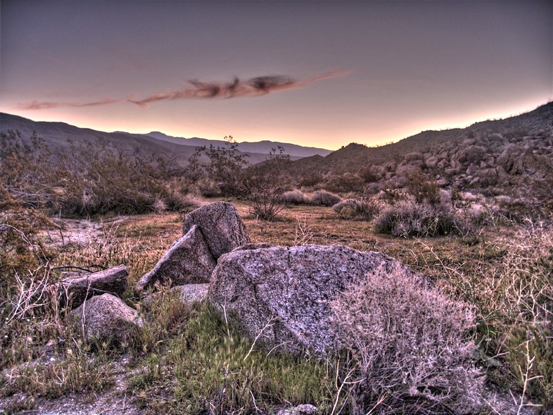
We woke up early Sunday morning. Very early. You could barely tell that the eastern horizon was getting light when Vicki got dressed and headed out to make breakfast. But that’s what happens when you go to bed not long after dark in the month of March: The nights are extremely long, and you can only sleep so much. While she cooked I began my usual task of deflating the air mats, stuffing the sleeping bags, and getting the tent ready to roll up. When the high clouds began to glow, Vicki made me take too many pictures of them. I even took some bracketed exposures for doing HDR effects. Some of them came out OK. But the real sunrise was, as always, much better than the pictures.

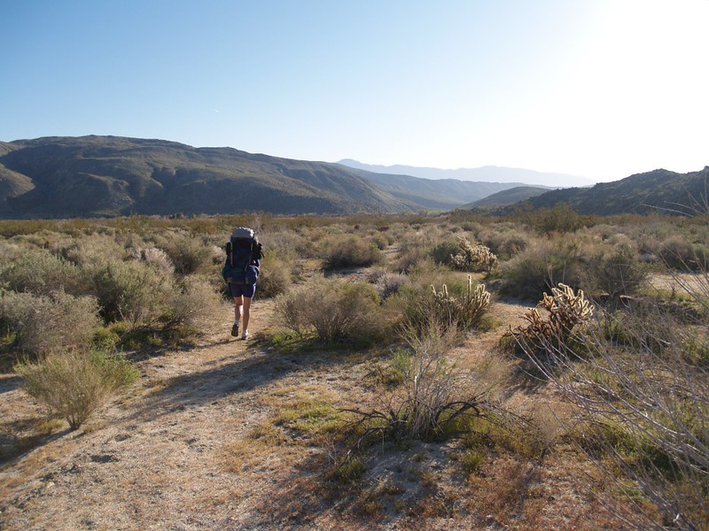
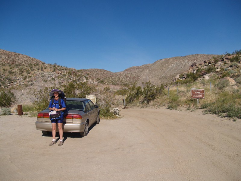
We put on our packs and began to hike at 7AM, much earlier than usual. But this was OK, as we expected it to get warm quickly in the sun. We hiked back out over the now-familiar Coyote Creek Road, and got back to the car in excellent time. The people who had been in the wildly flapping tent when we arrived were still camping there, and we enjoyed meeting and talking with them. I took some pictures of our little two-wheel-drive car parked at Third Crossing, with all of the other four-wheel-drive trucks nearby. It made us smile, in a smug, self-satisfied way.


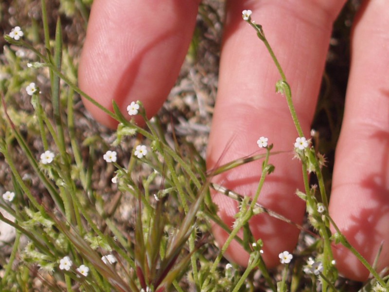
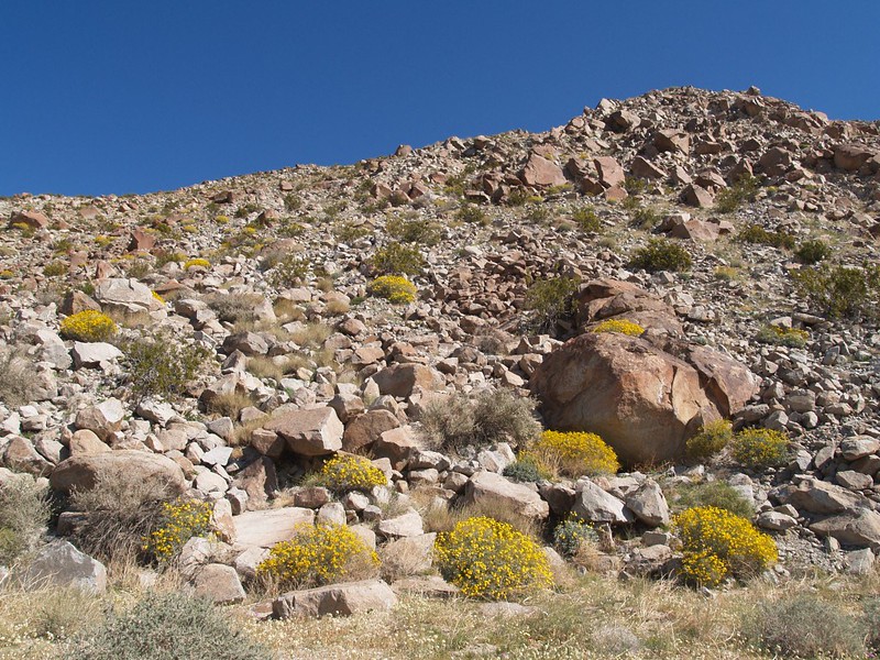
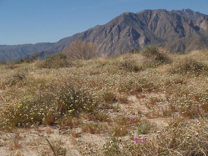
We got in the car and took our time (except when we drove fast on the fun dirt road) driving out to Borrego Springs, stopping to check out particularly nice patches of wildflowers.
Video of us crossing the stream at Second Crossing on Coyote Creek Road
Two hours later we were home, checking out our photos and videos. It had been an enjoyable and relaxing hike. But then we put it behind us and began planning out our entire summer’s backpacking adventures. And there would be a lot of them!
For more photos from this trip check out my Flickr Page.
For an Interactive topographic map of our GPS track, see my CalTopo Page.
