I took a long dayhike up into the Cottonwood Lakes Basin from the Horseshoe Meadows Trailhead in Lone Pine. This was part of my plan to get acclimated to high elevation for an upcoming multi-day trek. After spending the night in Horseshoe Meadows at 10k feet elevation, I wanted to follow the advice of the professional mountaineers: “Hike High, Sleep Low.”
Yesterday, I didn’t quite do that: I dayhiked to Lone Pine Lake from Whitney Portal. I started at 8300 feet and climbed to 10,000, and then proceeded to drive over to Horseshoe Meadows at 10,000 feet and slept. So much for sleeping low. But it didn’t seem to be a problem, as I woke up feeling good. Altitude-wise, I usually take a day to get over any issues, if I have them at all. I mainly just get a mild headache and lose my appetite. Didn’t happen this time.
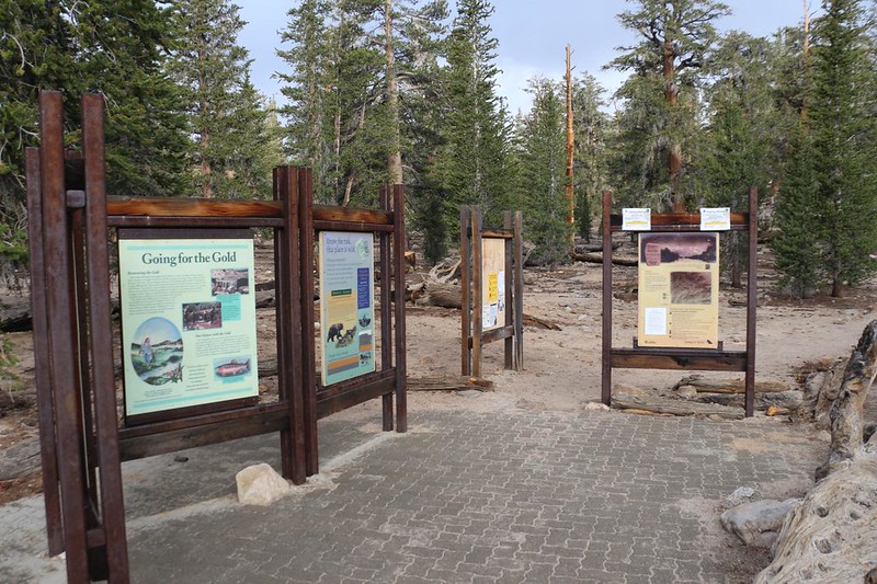
Back at the car, I got my daypack together, with plenty of water and snacks, and headed over to the trailhead. Nobody was there so I couldn’t get anyone to take my photo like I usually do. Oh well. I’ve been here before, so that’s OK. And then I started hiking.
The first three miles of the Cottonwood Lakes Trail stay relatively flat, on mellow terrain through an open pine forest. Then the real work began, as it climbed steadily, gaining 1000 feet in the next two miles. After that, I would end up in the Cottonwood Lakes Basin, and there’d be easy hiking once again.


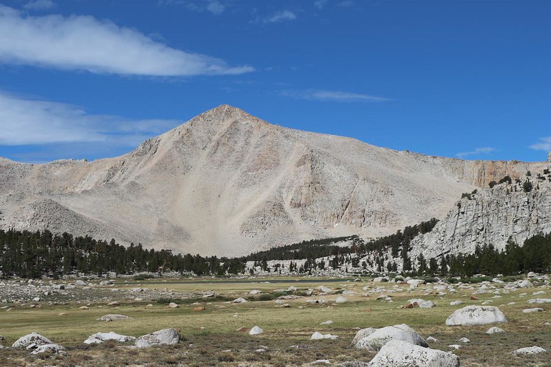
After five miles of brisk hiking, I arrived at the southeastern end of the basin. It was a truly a pleasure to be back in this beautiful area. The lakes themselves were a bit further, but even the first big meadow was lovely. There were high granite peaks all around, including the southernmost fourteener in California, Mount Langley. My son and I had climbed that peak six years ago, in 2015, and seeing it brought back fond memories. I continued hiking onward, desiring to check out how low the lakes’ water levels were, here in this extra-dry year of 2021.
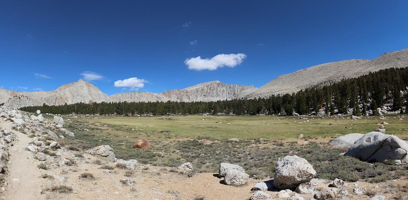

I wasn’t particularly surprised to see the low level of the small pond I’d camped next to in the past. It looked more like September conditions than a typical early July. Even the grasses up here were already turning brown and going to seed. And there weren’t many flowers in bloom, which is never a good sign. A dry year usually means wildfires. I knocked on a wooden branch and hoped that the fires stayed far away from here this year. And every year! Let’s face it: I’m getting too old to wait thirty years for a post-fire recovery.

GoPro panorama video from the unnamed Cottonwood Lake just east of Lake Number Three

I stopped near the pond for a break. I sat on a boulder and contemplated the beauty. Other hikers walked by, and I found out from one of them that Old Army Pass was already clear of snow and ice. This was good news, as I planned to be back here in three weeks with my son and his buddy. During heavy snow years it might not melt all season, because it faced north, and then it was dangerous to attempt. The original Army Pass is lower than the new one, so this would make our lives a bit easier.
After that, it was time to head back, but I decided to make the hike a “lollipop” loop and return via the New Army Pass trail. I headed south a short distance on one of the many use paths that fishermen have made. I hiked near the shore of Cottonwood Lake Number One, until I intersected the main trail, then headed left, down into the valley and out of the basin.

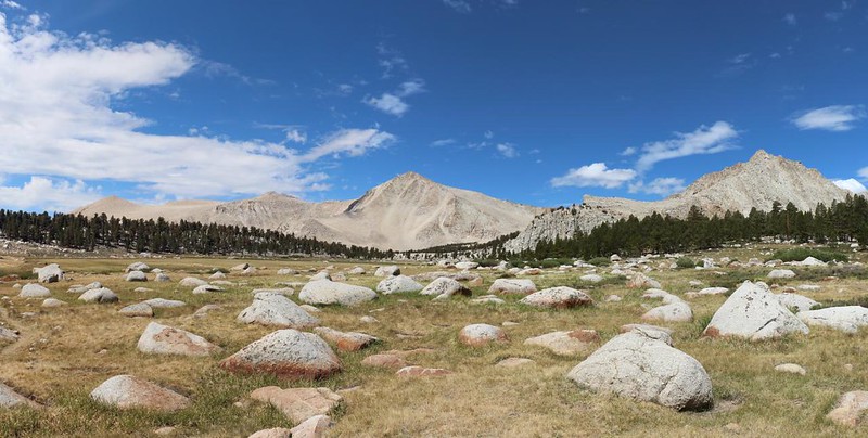

I remembered that there had been a waterfall along the way down into the valley, on Cottonwood Creek, but the flow was so low that I could barely see it at all. I continued onward, hiking swiftly, as the trail was mostly packed sand. After two miles of descent, I had joined back into the main Cottonwood Lakes Trail. After that, I was back on the flat, meadow-filled route. Up above, the cumulus clouds were building, as they often do near the Sierra Crest, but it was clear that they wouldn’t be creating any thunderstorms today.


Eventually, of course, I arrived back at the Horseshoe Meadows trailhead. I walked over to my car and opened the doors to let out the heat from the sun, then sat in the back and relaxed. I watched folks arrive with their backpacks, all dirty and scruffy-looking after a week on the trail. I spoke with some of them, but I made sure to stay upwind! They looked a bit ripe. Other people were just getting ready for their own treks, and were busily carrying gear over to the backpacker campsite, excited to get an early start in the morning. I spoke with them, too, and shared the news, of trail conditions (like that of Old Army Pass), and what to look out for in terms of beautiful vistas, or where the best camping spots were hidden. Everybody’s friendly, and we all help each other out. Yes, this is life at a High Sierra trailhead.

All in all, it had been a good hike. I’d walked over eleven miles and climbed almost eleven hundred feet. My feet and legs were tired, but it was the good kind of tired. Also, I had no sore spots or blisters. This is as it should be. I planned to spend yet another night here at 10,000 feet elevation, then in the morning I would be driving north to Bishop, to get ready for my week-long trek over Muir Pass in Kings Canyon National Park. I truly felt ready.
For a topographic map of the hike see my CalTopo Page
For LOTS more photos of the trek see my Flickr Page
Up to the “Sierra Nevada” page

