Vicki and I went on a dayhike on the Pacific Crest Trail, starting at the Southern Terminus by the Mexican Border in Campo, California, and hiked north for fifteen miles until we reached Hauser Creek. It was a fun hike, and we met several thru-hikers who were hoping to make it all the way to Canada. We wished them well. But, let’s face it, when you are section-hikers who live in San Diego (like us), it’s a lot easier to simply drive home to your own comfy bed after a full day of hiking!
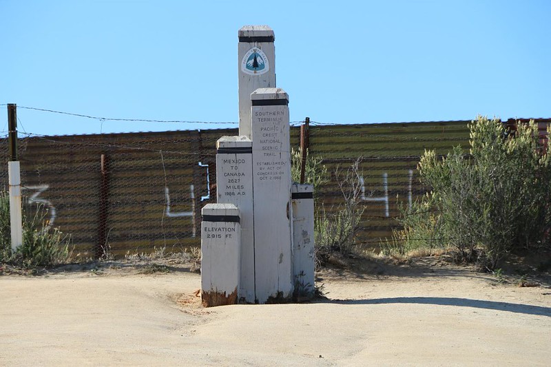
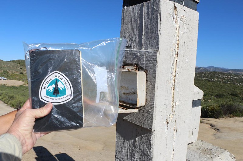
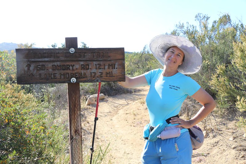
Just the same, it was a long hike. And we used two cars to make it easier. In proper PCT style, we started at the monument on the Mexican Border, which had the grim and oppressive border wall as a backdrop. It’s too bad that the town of Campo didn’t have an official entry port, or the trail could have started in Mexico, in much the same way that it does at the northern end when entering Canada. But that isn’t about to change. So we took our obligatory “PCT Mile Zero” photos at the monument.
While there, we also met up with a few thru-hikers who were just starting their 2650 mile journey. We wished them luck and gave them a few unasked-for tidbits of advice. The first was: Take care of your feet! Don’t overdo the miles in the beginning. Give your feet a chance to toughen up and form callouses. When you feel a problem with your feet, the best time to fix it is NOW. The word “Tenderfoot” didn’t come about for no reason. The second bit was for the couples: Expect to be cranky and grumpy at the end of every single hiking day. You’ll be tired, dehydrated, and hungry. This often leads to angry words when setting up camp. Don’t let it ruin your trip. Shut your mouth, drink some water, eat some food, and take an ibuprofen. After you feel better, you can be a happy couple once again. Vicki and I have been doing this for a long time, and we still forget how to cultivate civility at the end of the day. The third bit: You must have fun! There is beauty everywhere.

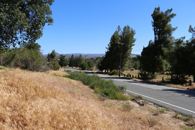
For the first two miles or so, the PCT parallels and/or coexists with several roads. At first they were dirt roads, but they become paved as we approached the town of Campo. This was classic Southern California ranch country, a land of cattle and horses. A peaceful and pretty area. In the Summer it can get quite hot, but on a fine May day, it was wonderful.
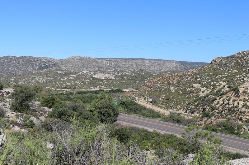
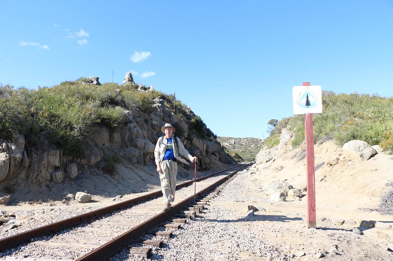
We crossed busy Highway 94, and then headed for the train tracks. They used to be called the San Diego and Arizona Eastern Railway, but they went bust years ago. I’m not sure what the latest company’s name is, although it’s often referred to as the Desert Line. At the moment, there is only one ancient steam train that runs along here, carrying tourists, so there isn’t much danger when crossing these tracks. If you’re a train lover, don’t worry: In another 340 miles you’ll see plenty of trains, right after you cross I-15.
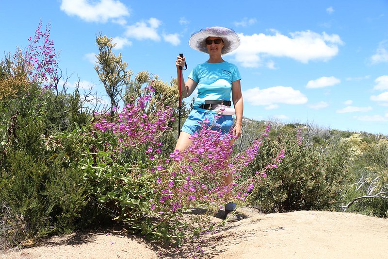
The next section of trail wandered along the borders of several ranches, while it slowly climbed up and over Hauser Mountain. Some of the land we hiked on was within the Hauser Mountain Wilderness Study Area, and much of it was in the Cleveland National Forest. Yes, this is a national “forest” even though there aren’t many trees, just scrubby chaparral. But even that has its own version of beauty. There were also a number of flowers blooming, which was a plus.

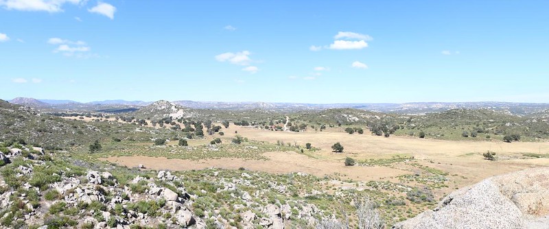
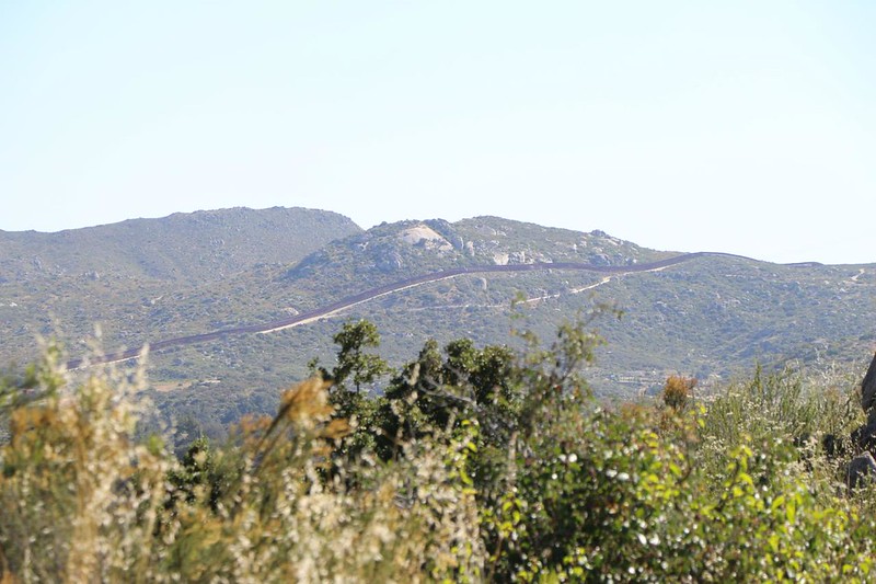
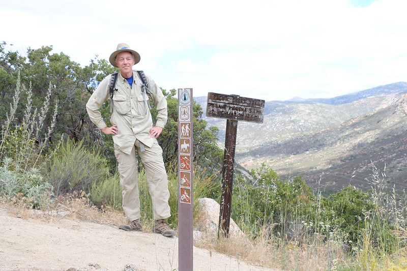
Eventually, we reached the top of Hauser Mountain, and were able to see further north. Hauser Canyon was far below us, heading downhill into the west. Across the way was the impressive granite of Morena Butte. We could see the PCT on the opposite canyon wall, snaking its way upward to the east of the butte. I checked my map, and Lake Morena was a few miles beyond that, but we weren’t able to see the water from up there.


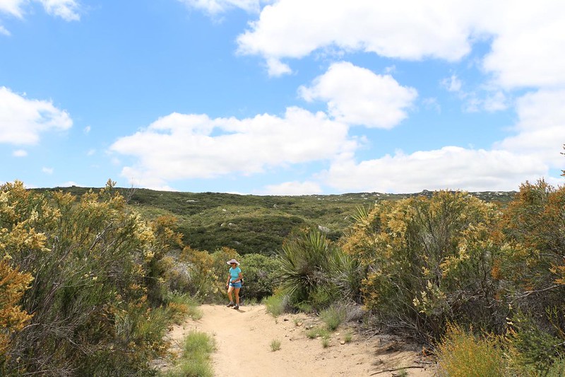
Did the trail begin descending into the canyon right away? Of course it didn’t. It took its sweet time, wandering for a mile or two along the crest of Hauser Mountain. But we’d been on other sections of the PCT, so this didn’t surprise us. We had already come to the (cynical) conclusion that the original trail builders were getting paid by the mile, and that they purposefully routed it that way. So on we hiked.


But the trail eventually dropped into the canyon, of course. We could see the line of lush vegetation down along the bottom, where Hauser Creek was flowing. Most years there is plenty of water for hikers down there, and several nice camping spots. Our car was off to the east, and when the PCT left the dirt road, we decided to cheat a bit. We didn’t follow the switchbacks down to the campsites at Hauser Creek. We continued hiking along the road, as a shortcut to our car. Sometimes you do what you have to do, and this had been a very long day of hiking. Oh well. We didn’t miss much.


We had planned to visit the campsite and creek, but changed our minds. In the end, we didn’t end up seeing it until March 2017, when we spent a fun weekend backpacking from here to Lake Morena and I-8. But today, we plodded along the dirt road, on tired feet, all the way to our second car, which was parked in a peaceful country neighborhood just east of a locked gate.


After that, we got in the car and drove back to the border to collect our first car, and then the two of us drove home to San Diego separately. All in all, it had been a fun day of hiking, and I was glad to get this all-important first section of the Pacific Crest Trail checked off. Even section hikers such as ourselves want to hike the entire trail, eventually.
For a topographic map of the hike see my CalTopo Page
For LOTS more photos of the trek see my Flickr Page

